Although it was tempting to never leave the comfort of Wilpena and Gemma W, the need to see ‘around about’ meant that I opted for a circular tour of the area before finally heading back South towards the Adelaide coast.
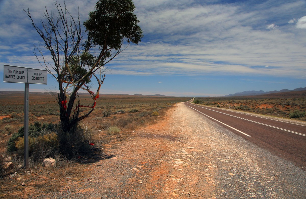
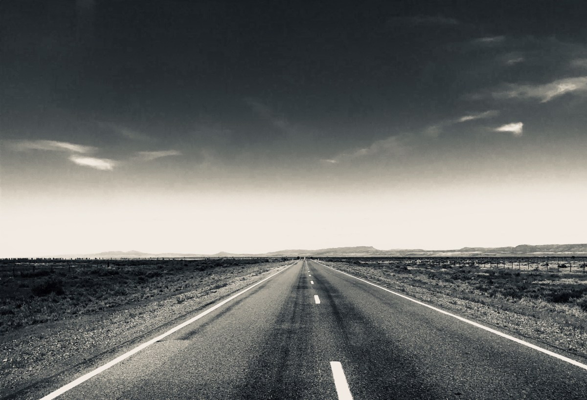
The road North. Christmas decorations still hang in the ‘out of districts’ zone so I guess no-one will take them down…
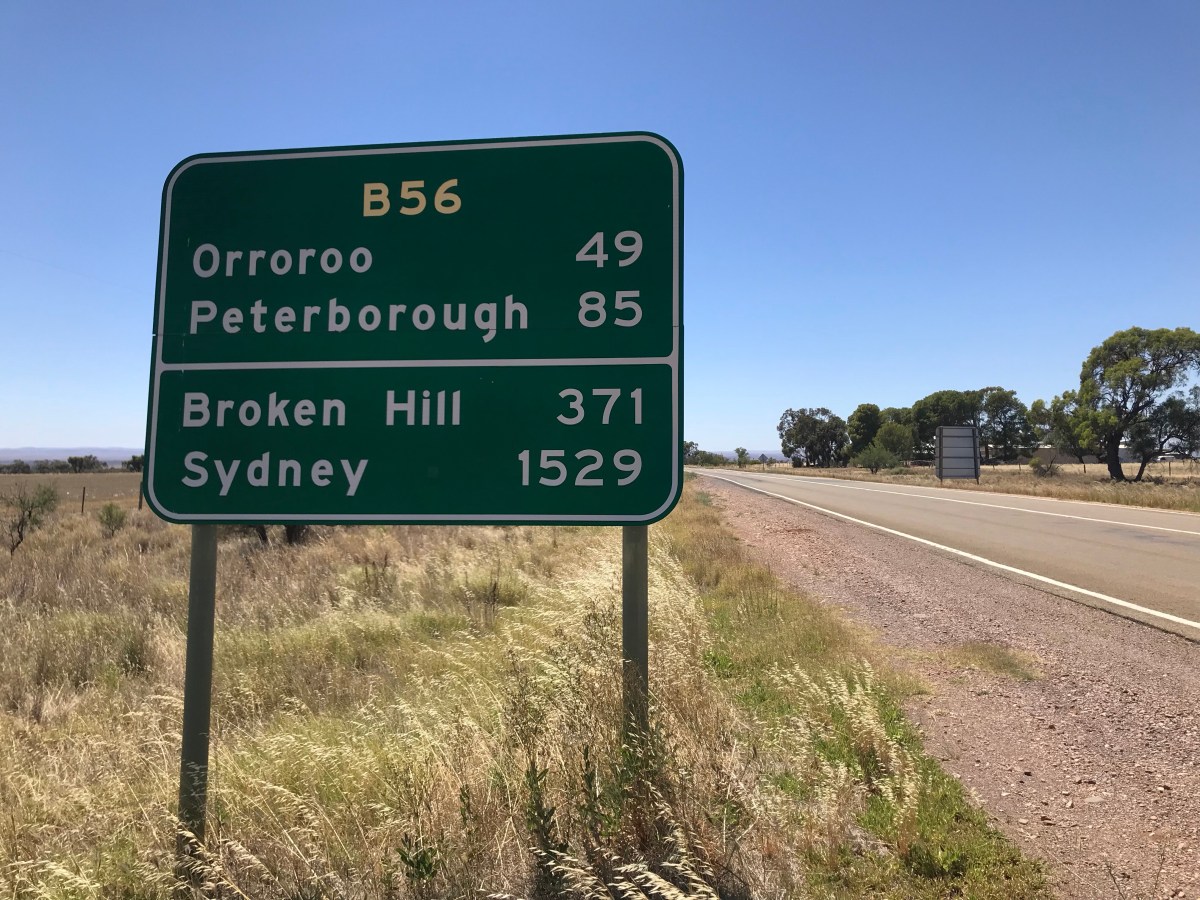
This stretch is one of the last 2 lane blacktops for quite a while. Just to get an idea of distances – I am already 500km north of Adelaide, but still 750km south of Birdsville in South Queensland. Birdsville is legendary and iconic in the Outback 4WD world. The route North from there follows rough hewn tracks that have remained almost as they were 100 years ago and there’s no help whatsoever for ‘bush incompetence ‘. No fuel, No signal, and no warning of tumultuous flash floods. Signs state that you need 20 litres of water per person per day, fuel for 500km further than you estimate you are going to drive, 2 or 3 extra tyres and be prepared for summer temperatures in excess of 50 centigrade.
It was all too much for my Toyota hatchback.
So to continue on from here, and people do it, Alice Springs would be 1400km and Alice to Darwin [the top] is 1500km. Bottom to top is in around 3600km total. ? days.
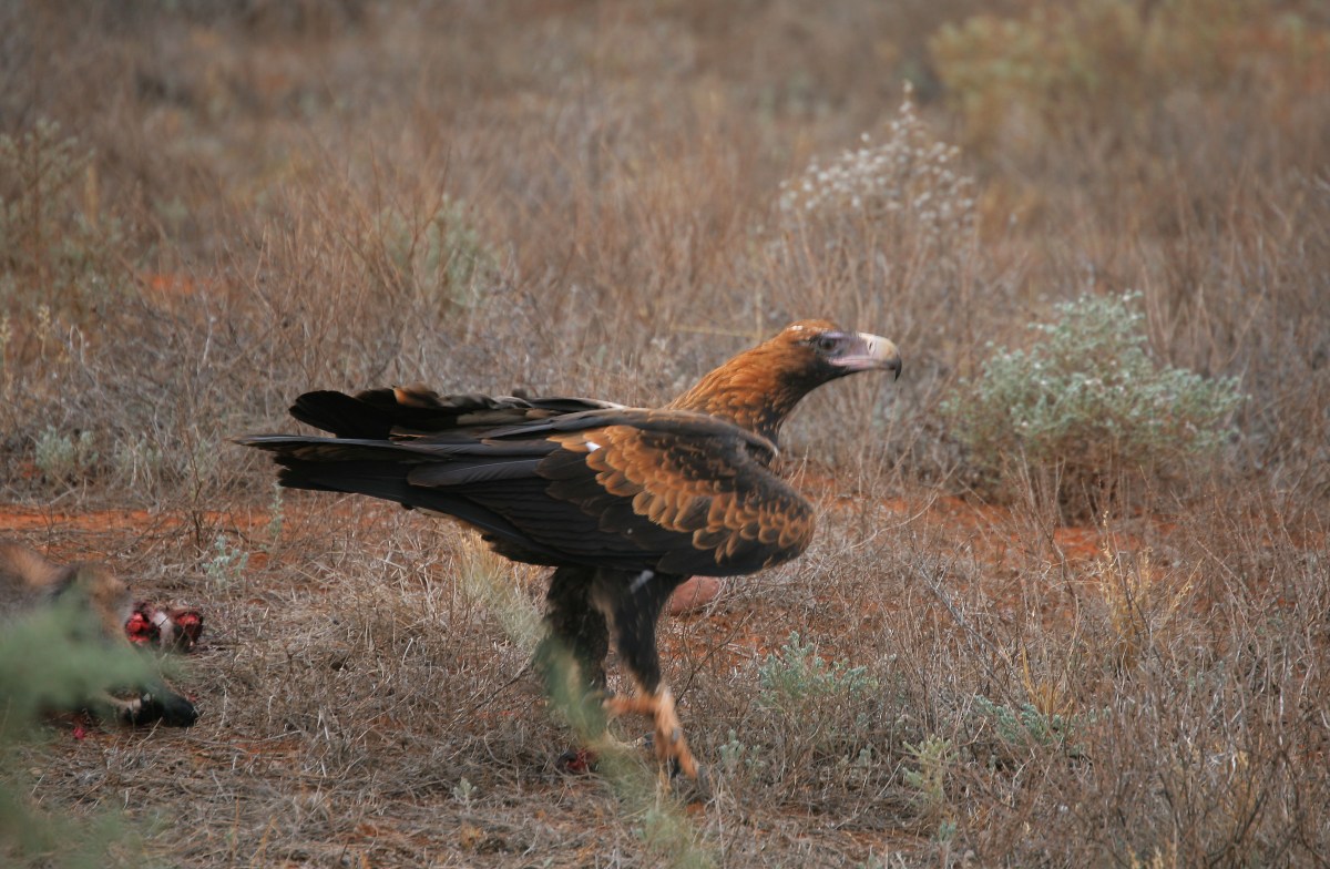
An eagle feeds off kangaroo roadkill
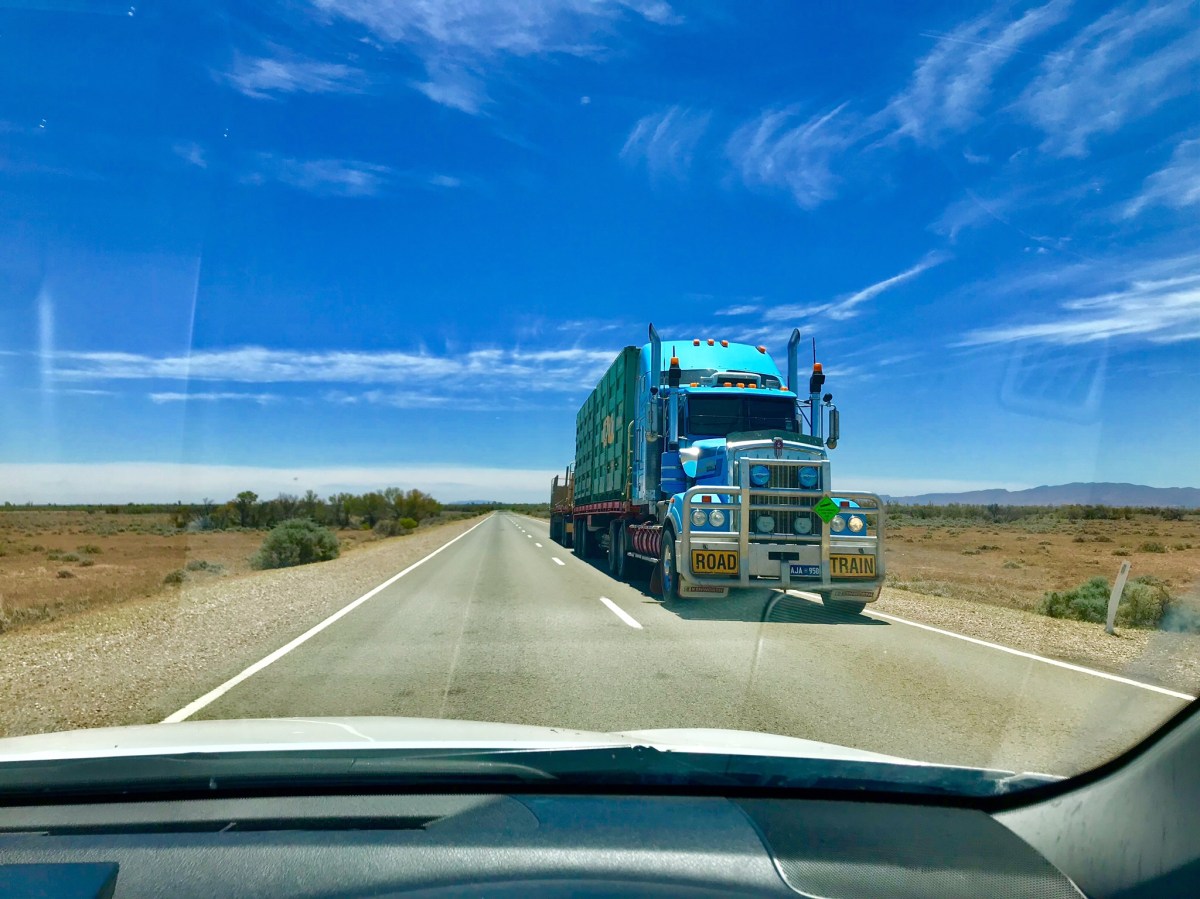
A dot on the horizon can take minutes to form into something meaningful. Usually it’s a white ute, but sometimes it’s a monster and you get the impression it will stop for nothing. Road train literally. Note Roo Bar.

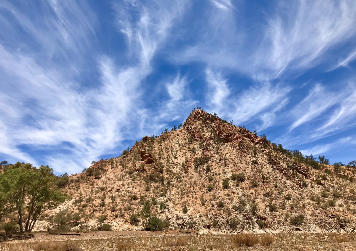
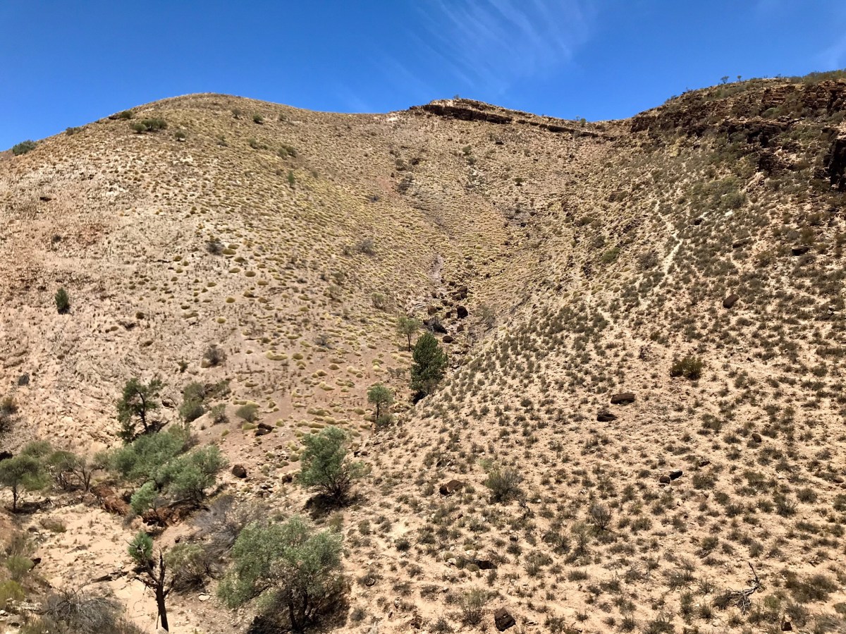
Rock outcrops in the Parachilna Gorge
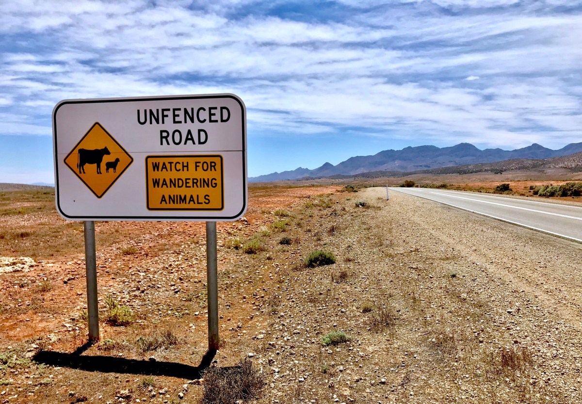
Warnings on the road. To the left – unphotographable [and out of shot!] you could just see the heat shimmer coming off lake Torrens, a salt pan that occupies the largest land area of any [when full] lake in the Southern Hemisphere
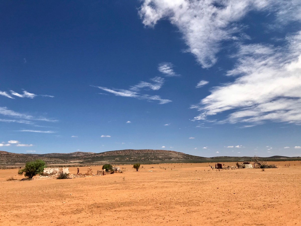
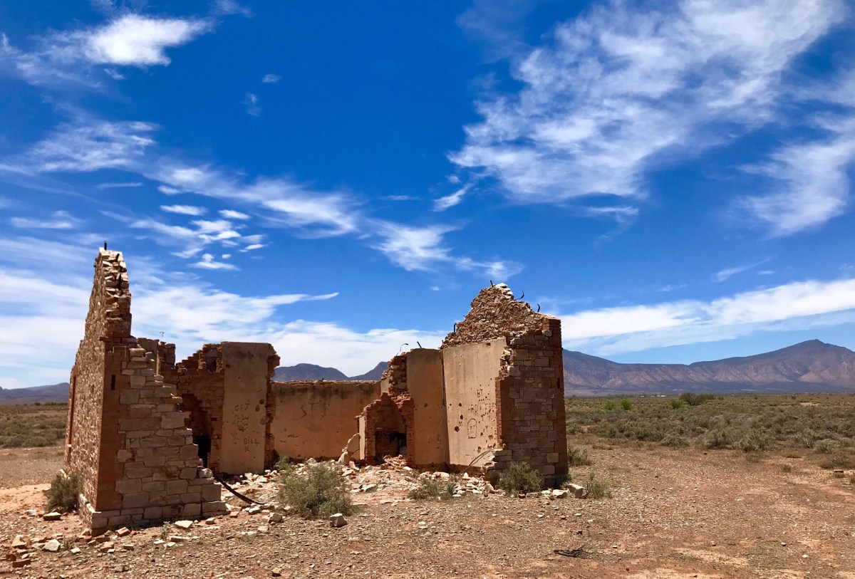
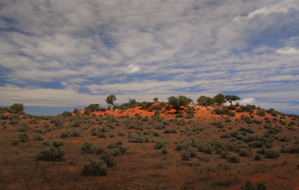
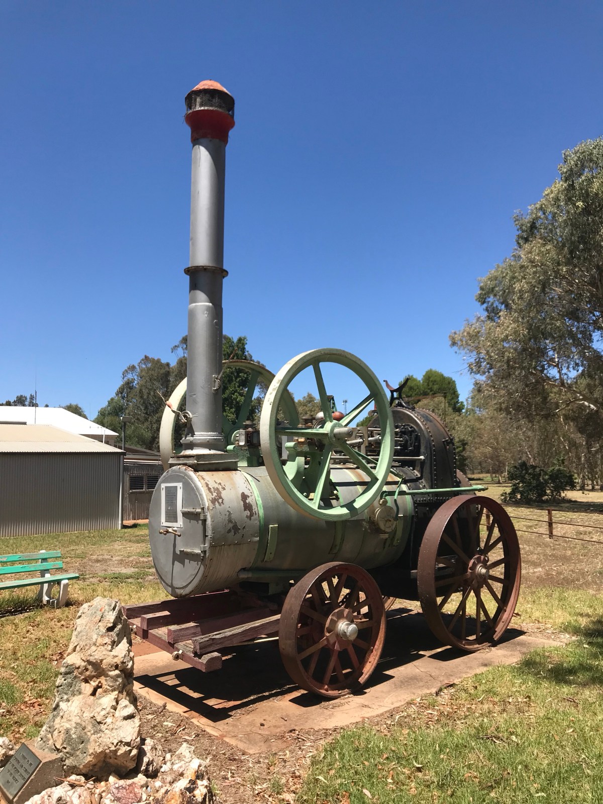
Above: reminders of how hard life must have been
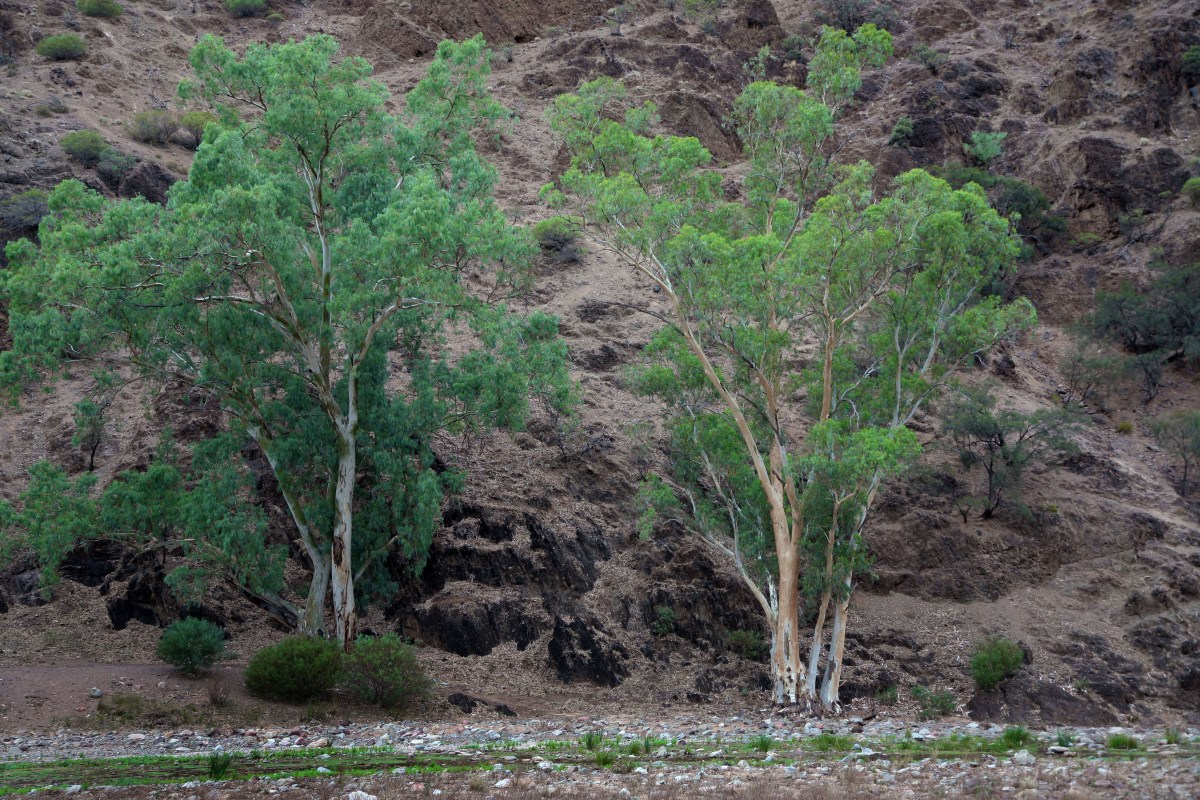
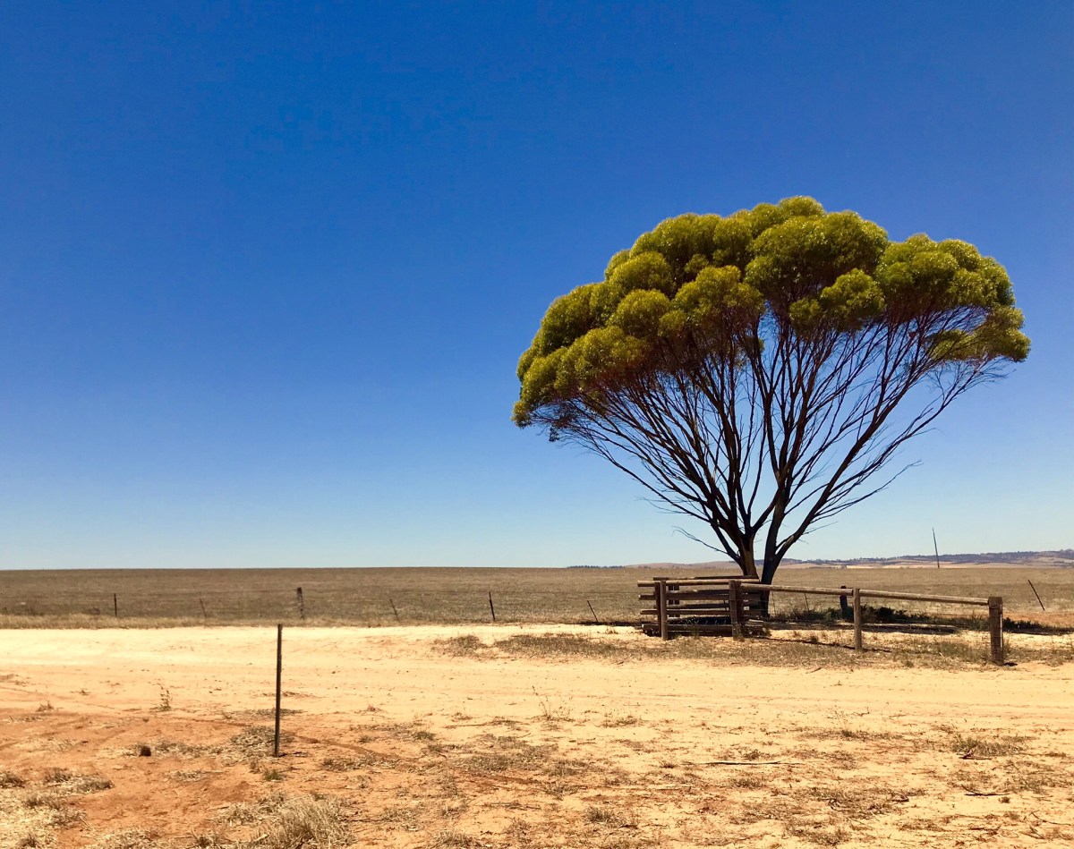
This could be High Sierra, Greece, Middle East or part of Africa but the giveaway is eucalyptus

Emus scatter as I pass a group drinking after a shower the previous day
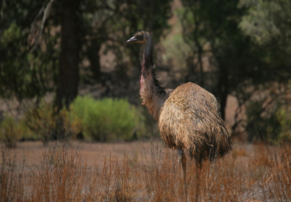
Emu in the Parachilna Gorge
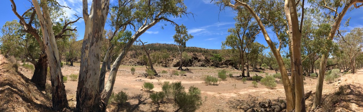
A dry creek on the Blinman Road

Hats with swishing corks could have been the order of the day – flies just descended when you got out of the car. For the first minute that you stumbled around in the dusty arid landscape there would be nothing, but then in the ‘fly-world’ word seemed to get out and within minutes there were droves. Doubtless interested in something different from the boring kangaroo road kill that must have been their staple.

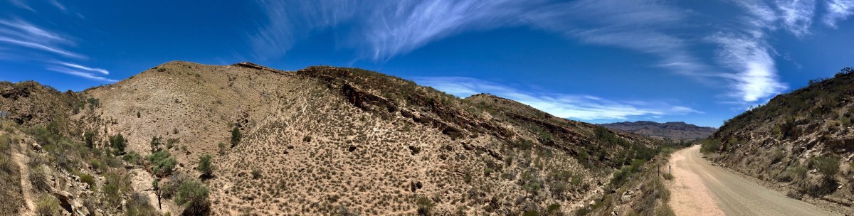
The only way thru the Parachilna Gap
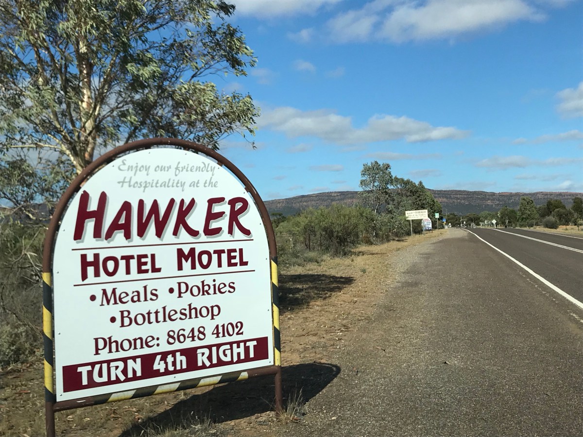
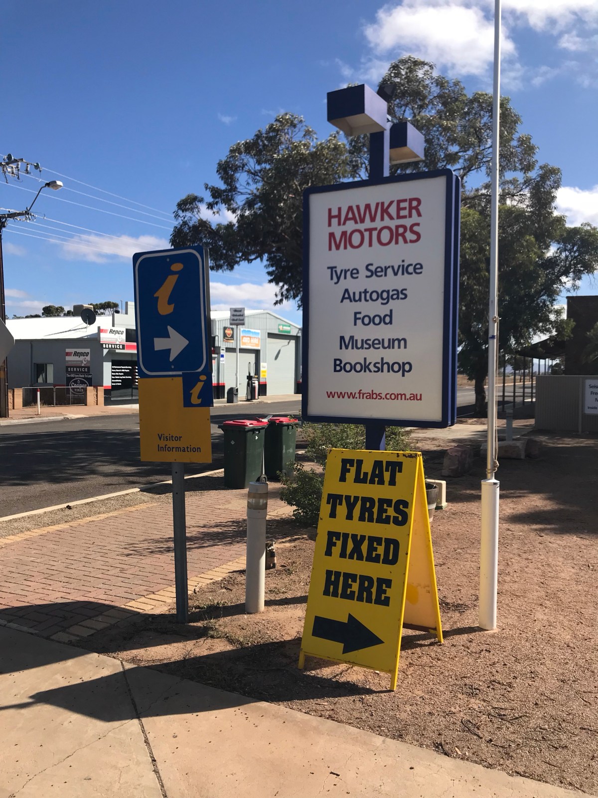

Welcome to the town of Hawker. Seismograph next to the soft drinks
I had already bought petrol here a couple of days before, but returned to the petrol station/cafe/shop/museum to get stuff for the long road south. I had seen that it had been curiously selected as a Seismological recording station for the SA State, and it was continuing to do good but arcane work despite most of the science having gone ‘digital’ a while back. Hence the photos. Matey at the checkout – a chatty good-looking youth [except the nose-ring] remembered me from my visit before and was clearly proud that his fuel station had been chosen by the Government’s Seismological Survey. It was Sunday and neither ‘Mo-gas’ nor the other station down the road were busy – hardly a person to be seen.
Mr Checkout approved of my 5 minute museum interest stop [see rocks above] and said so, but I wasn’t going to let him off today… [previously I was tempted].
‘Its Sunday, shouldn’t you be in church’ I rattled at him. As a joke if you know what I mean.
He looked back at me as though I had suddenly grown a second head and eventually replied: ‘My parents have gone so I mind the shop…’ Quick witted and good looking. He won’t stay in Hawker long.
God fearing family I thought – would Ma and Pa ever be caught doing Pokies in the Hawker Motel?
He wished me well on the southbound and that was it. My yard wagon not heavy enough to strike a tremor in his recording station, and probably nothing else would until the next road train blasted through.
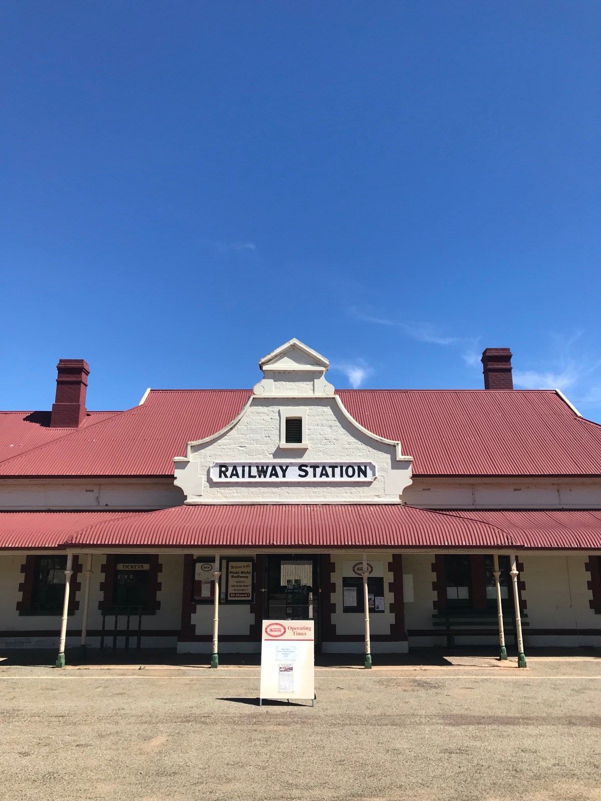
I was southbound to Adelaide. The town of Quorn [is that name something I’ve heard before?] and its famous railhead. The engineering achievements of the Victorian age were unparalleled. 2500 km to Alice across hardly charted territory. Hardship here with a capital
Quorn and its outlying settlements are a long way from anywhere
Above: The small towns of Laura and Stone Hut. I can’t remember which was which
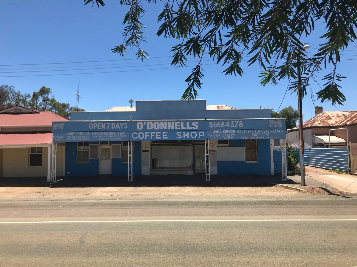
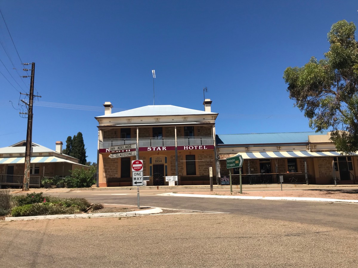
These ‘semi-Outback’ towns soon merge into just one vision of Australia outside its conurbations. Many proudly displaying the myriad of interests and activities they can offer – all designed to get those passing through to stop awhile. By the hour southbound, the places grew visibly in size and spectacle, clearly the wealth of better farming and more rainfall showing in the orderly streets and back gardens.
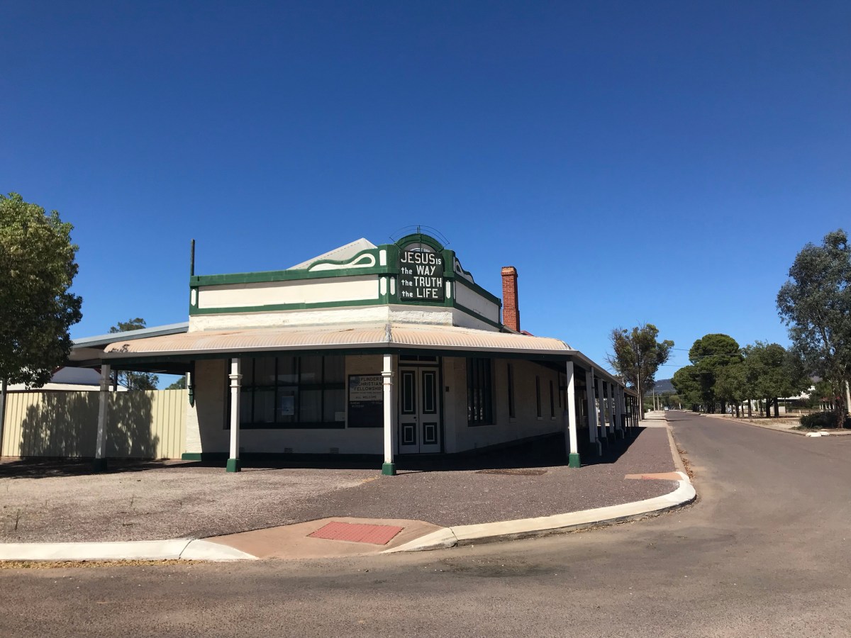
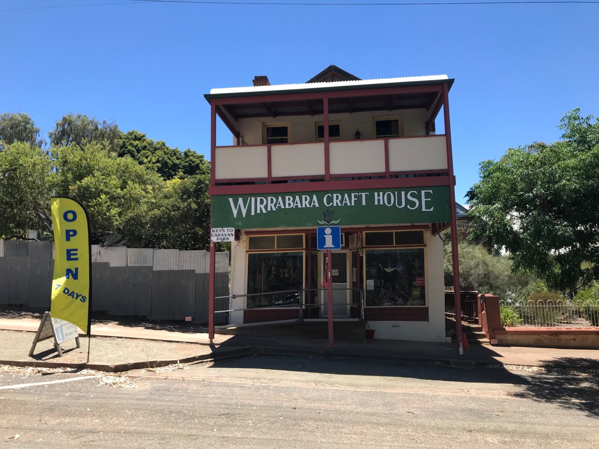
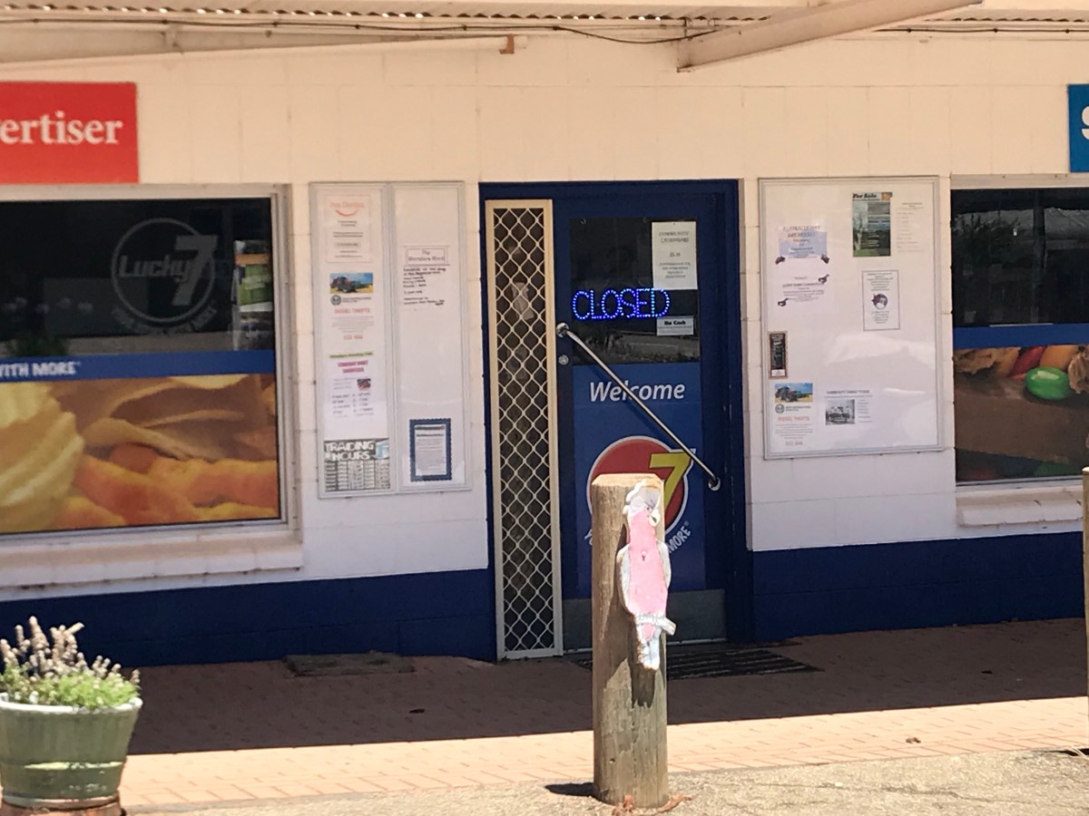
But despite it being Sunday, places welcoming you still played a cruel joke – the above 3 photos clearly stated ‘Open’ and in 2 cases 7 days. Not that I wanted to get any crafts, but I did wonder ‘Which 7 days?’

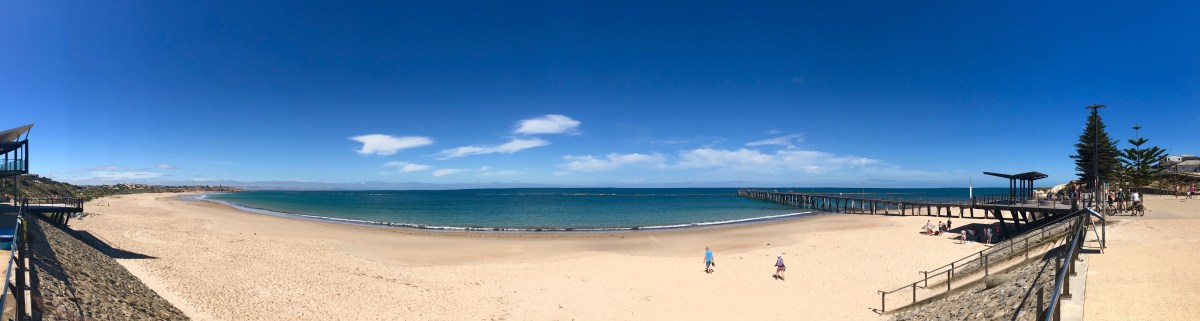
The end of the day got me well south of Adelaide. Noarlunga Port to be precise, with mid summer crowds doing what people do in a seaside town – strolling, swimming, hanging out in bars, and the rest of it. A pleasant 28 degrees and light as sharp as broken crystal. The map showed The Great Australian Bight, which, as a schoolboy I’m sure I never knew.

Tomorrow McLaren vale. I didn’t do Clare’s Riesling Trail, so instead I thought I’d given the Shiraz one a go…