October 2017
Autumn, and a 1200+ mile trip to the Highlands with a view to getting some seasonal colour and pitching up at those sites you just know would have been full a couple of weeks before.
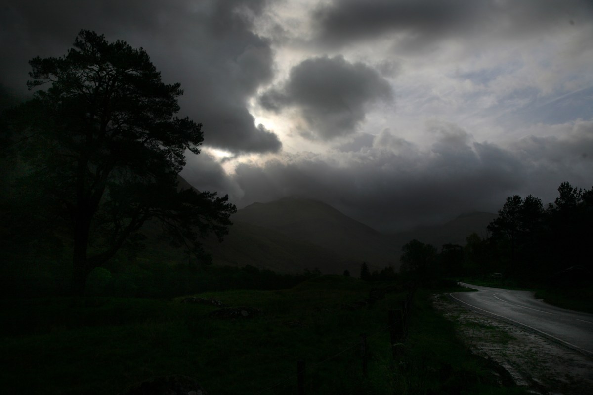
A view up Glen Nevis, with wet cloud concealing the Country’s highest mountain at 4000+ feet
Once you have motored north of Glasgow, the route to the Highlands seems to divide into 2 – both of which are picturesque and at times breathtakingly scenic. The West Coast Route takes its winding time to pass Loch Lomond before heading out to the great sea lochs that stretch like fingers out into the waters of the Minch. Captivating and evocative names dot the route and fill the horizon. Arran, Skye, Islay, Mull and Jura to name some.

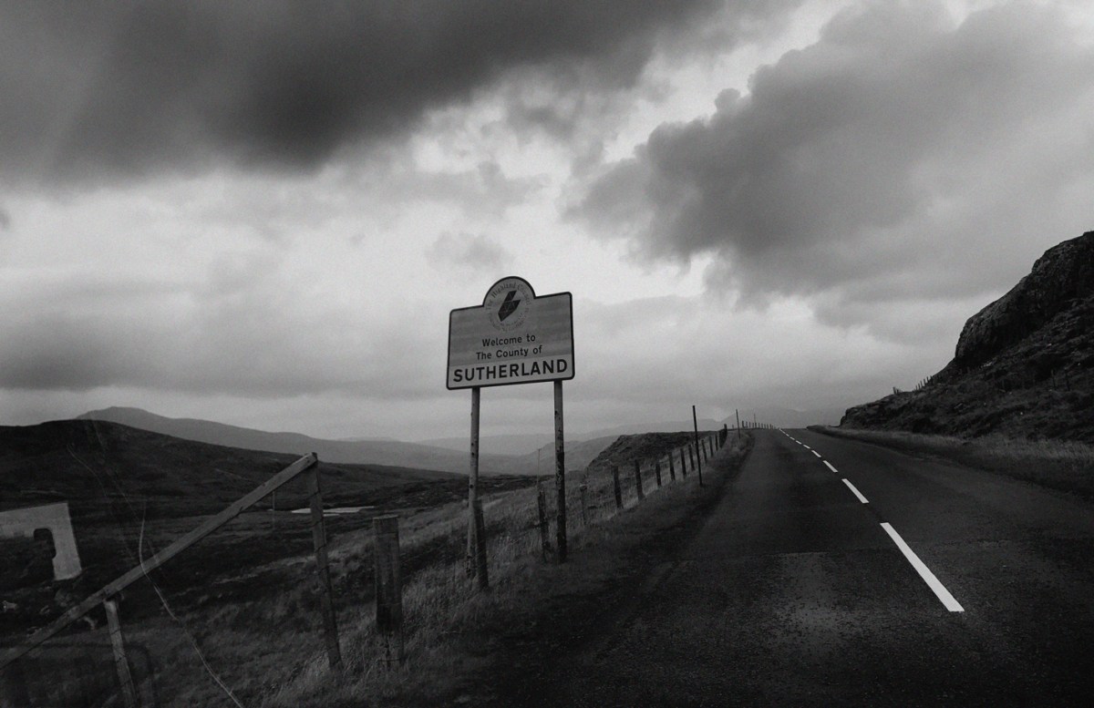
The East Coast route steers past Stirling and on towards Perth and Inverness by way of the A9, North Scotland’s only arterial road. Recent modifications mean you can reach the Black Isle and the glassy waters of the Dornoch in under 3 hours from Edinburg or Glasgow. This was to be my return route.
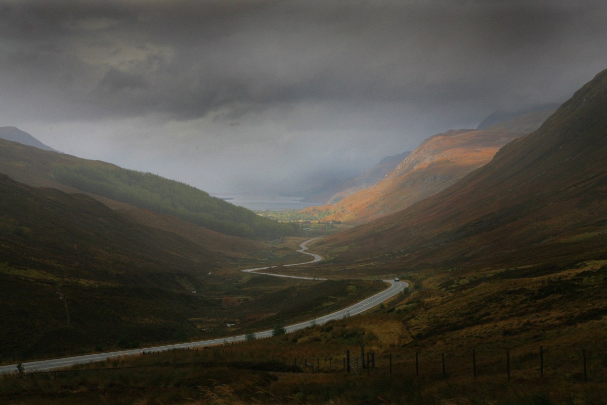
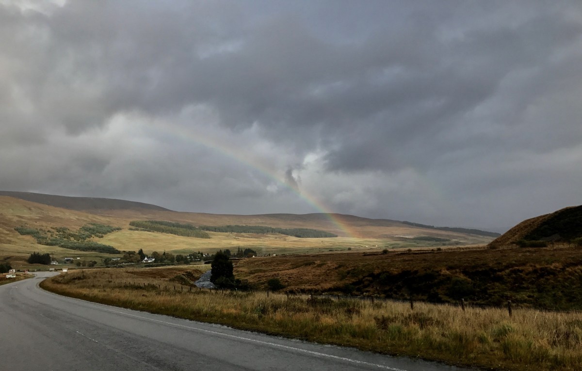
The pass at Achnasheen
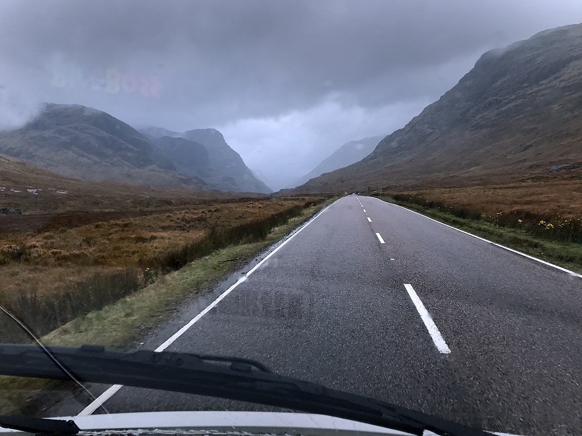
![Glencoe1 [1024x768]](https://jimnichols.co.uk/wp-content/uploads/2018/03/glencoe1-1024x768.jpg?w=1200)
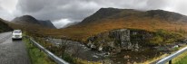
Glencoe on a typical day
Take the High Road or take the Low; this popular route is well used by the multitude of visitors who flock along the Whisky-come-Heritage Trail. Approaching the Kyle of Lochalsh – surely one of the most iconic spectacles in the Highlands, I sensed that it was going to be a ‘Chocolate Box’ scene too many. Tour coaches with Chinese writing, monster wide Campervans [mine’s narrow], and uncertain drivers clearly in hire cars; all shepherded by bored looking officials in high Viz clothing. I don’t think I’d have got to the portcullis of Eilan Donan without buying something tartan and feeling the need to vomit after eating a bag of fudge.
As the misty Cuillin mountains on distant Skye grew closer, I veered right along a hardly-signposted ‘B’ road that looked like it hadn’t had any serious TLC for decades. North towards Strome and Loch Carron, picking my way past potholes and ‘Passing Places’. I realised I hadn’t been on this road since our family holiday to the Highlands in 1966.

A Monet Moment along the shores of Loch Lochy

Passing places along my route. Beyond, the Main Rail Line which clung to the contours on its way to distant Dingwall.
Approaching Achnasheen
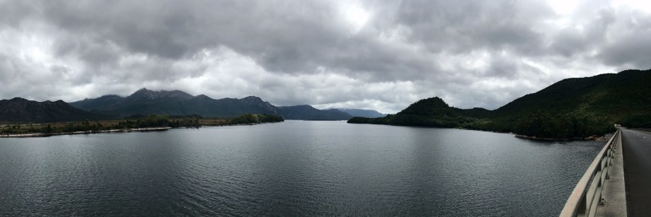
Lake Burbury, Tasmania, Australia
See what people mean when they compare Van Dieman’s Land – 12,000 Km away to the ‘Lochs of the Old Country?’
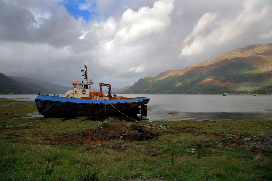
Sea trawler high and dry on the shores of Loch Duich
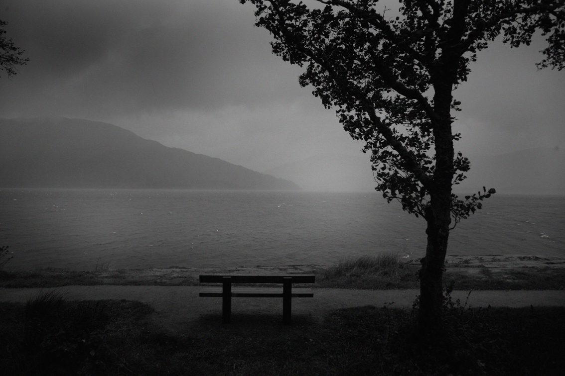
What a difference an hour makes. Sudden rain obscures the view from my picnic spot on Loch Lochy

‘Twin Peaks’ above Little Loch Broom
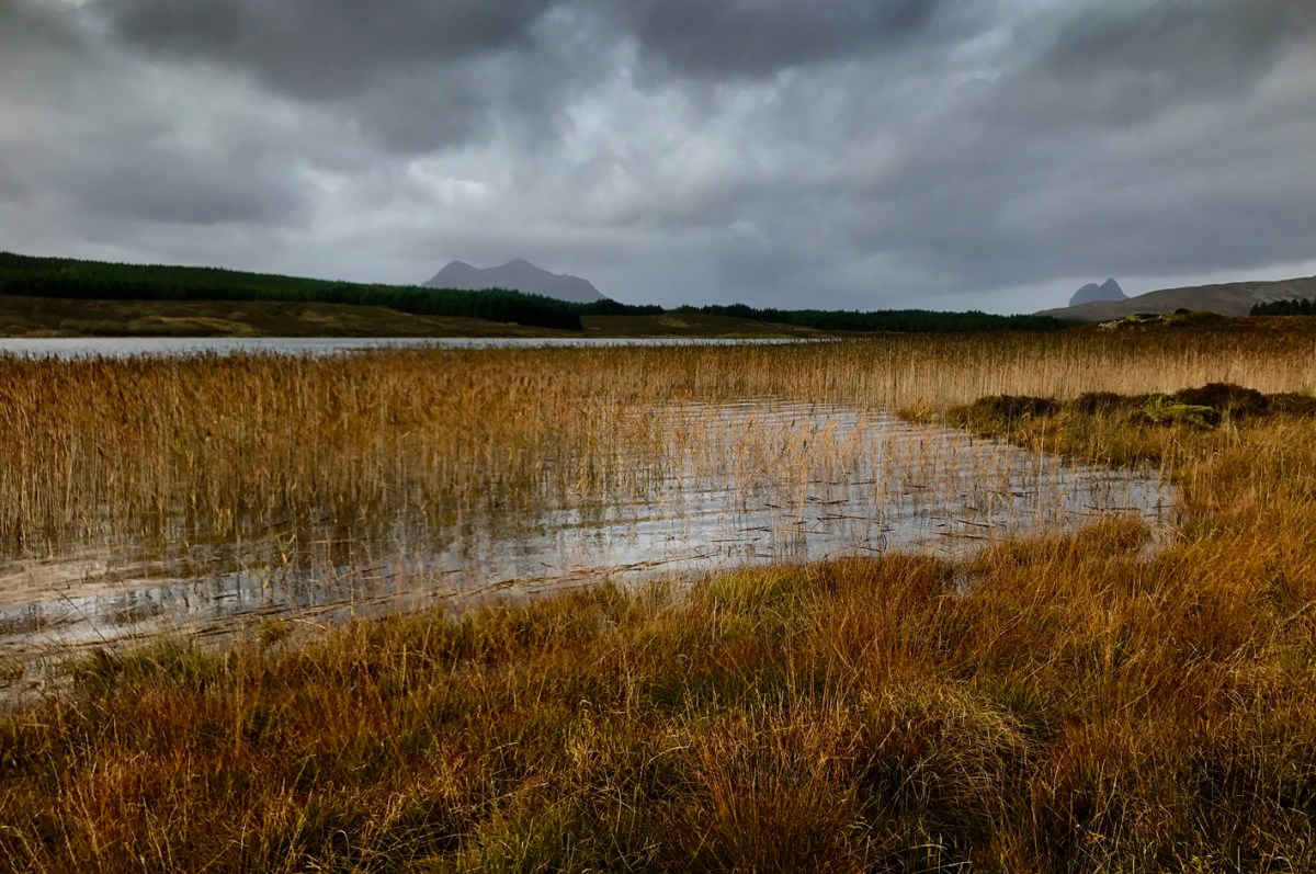
Abovbe, a good example of the characteristic mood of the landscape in Ross & Cromarty, where there seems to be more water than land – and according to census statistics; the lowest population density in Europe.
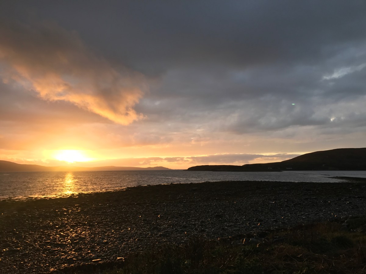
Genuine colour as the sun disappears over the distant Hebrides
View from my campsite, 5 km north of Ullapool on the Ardmair Peninsula
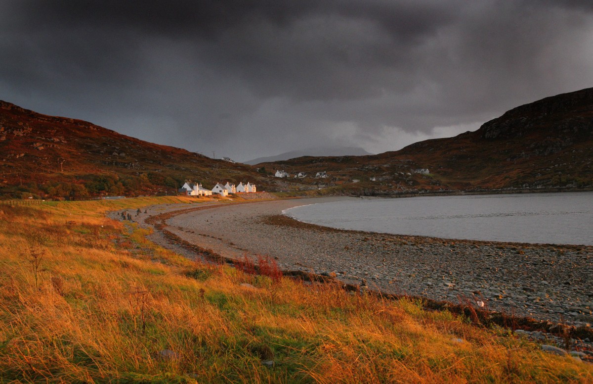
The furthest North my trip went. I had underestimated the extra time it would take to reach even Lochinver, [the holiday destination we made home for 3 weeks in 1966], and you can see that to get even close to the top it’s in excess of a further 70 miles – all along windy roads…
![Inchnadamph Pantone2 [1024x768]](https://jimnichols.co.uk/wp-content/uploads/2018/03/inchnadamph-pantone2-1024x768.jpg?w=1200)
Sphagnum bog, Inchnadamph
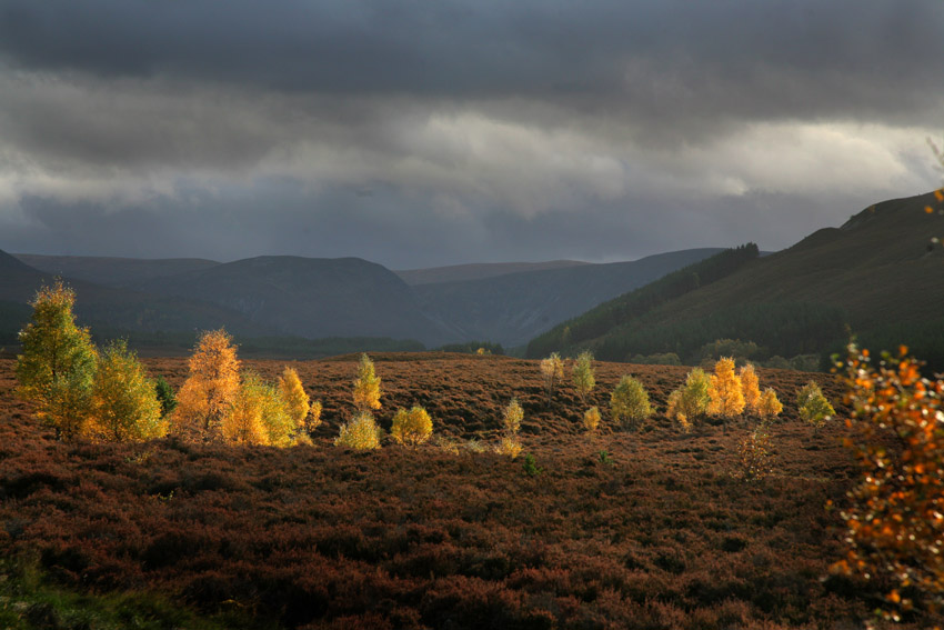
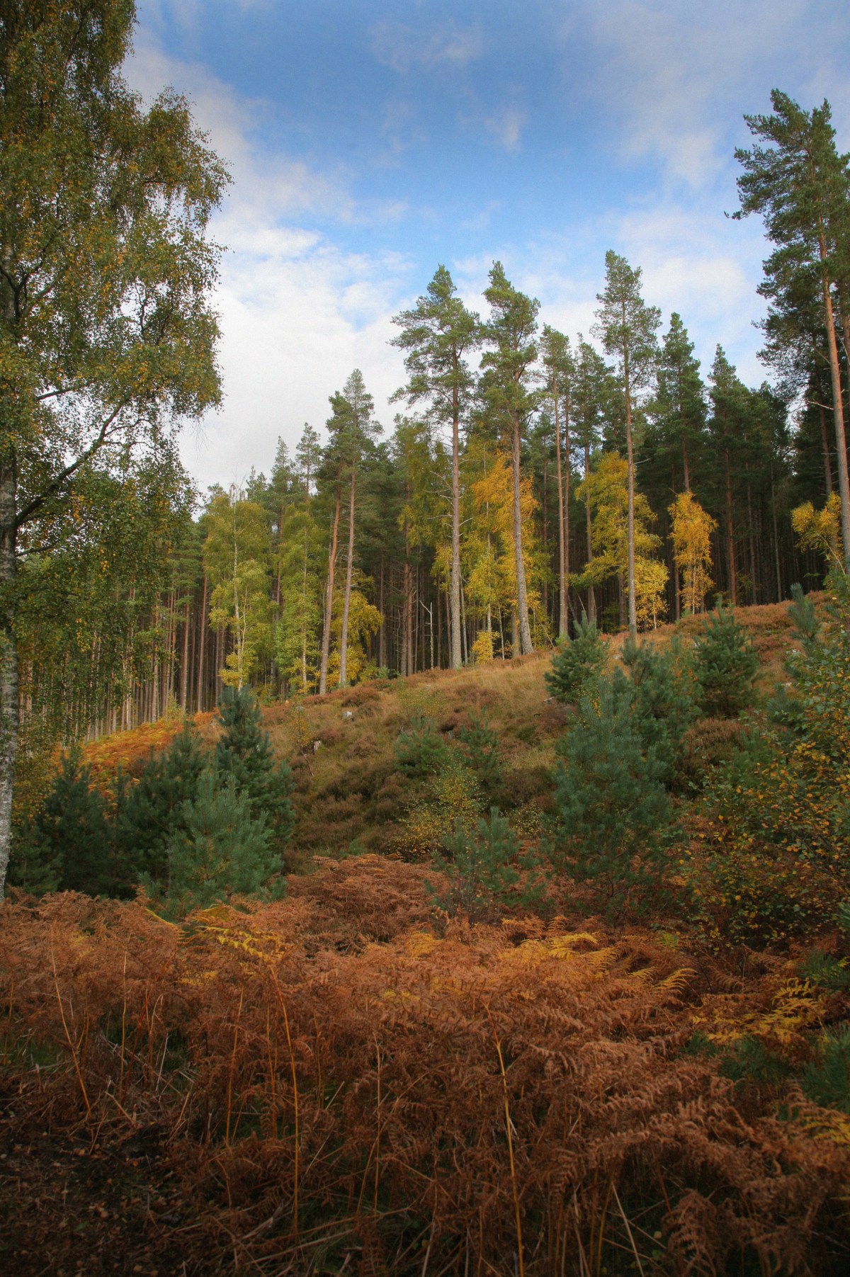
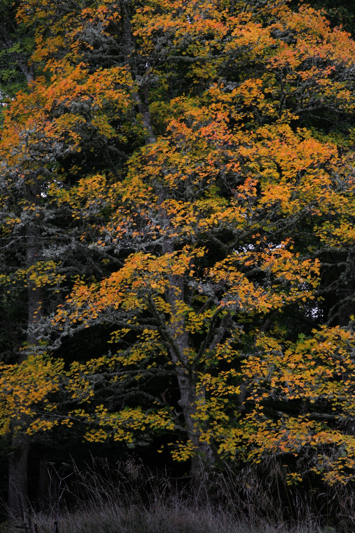
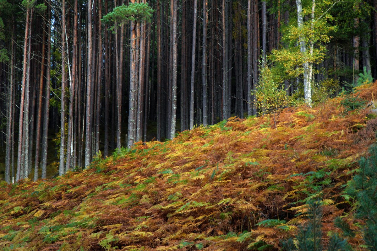
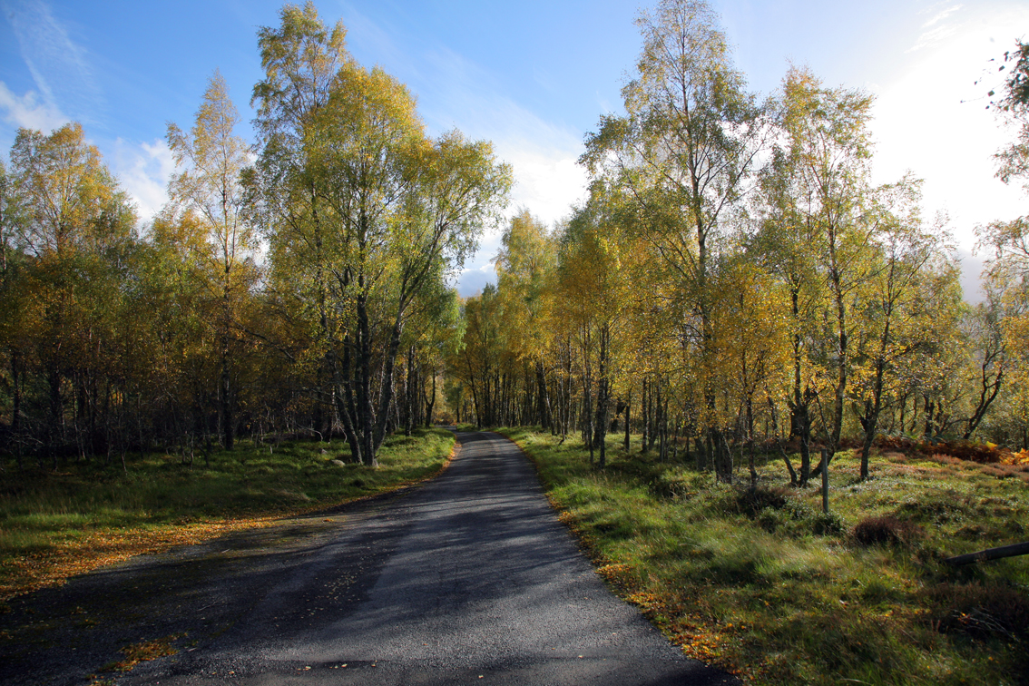
The Cairngorms National Park, Speyside
 Things that happen along the way. The home of Inverness Caledonian Thistle, as I passed it on a Saturday morning. Damn, I thought when I reaslied that they were playing St Mirren at 3pm.
It has to be one of the most exposed stadiums in the country – stuck out above the estuary at the end of Loch Ness.

The Dornoch Firth, and very distant the A9 bridge that now crosses the wide estuarine expanse
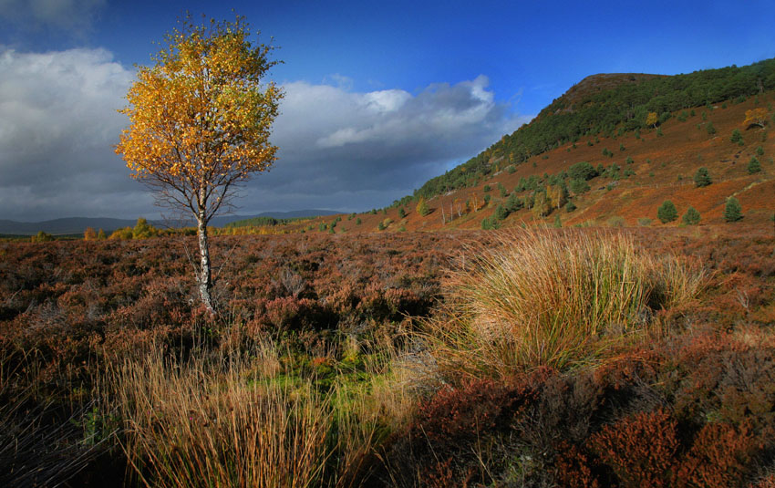
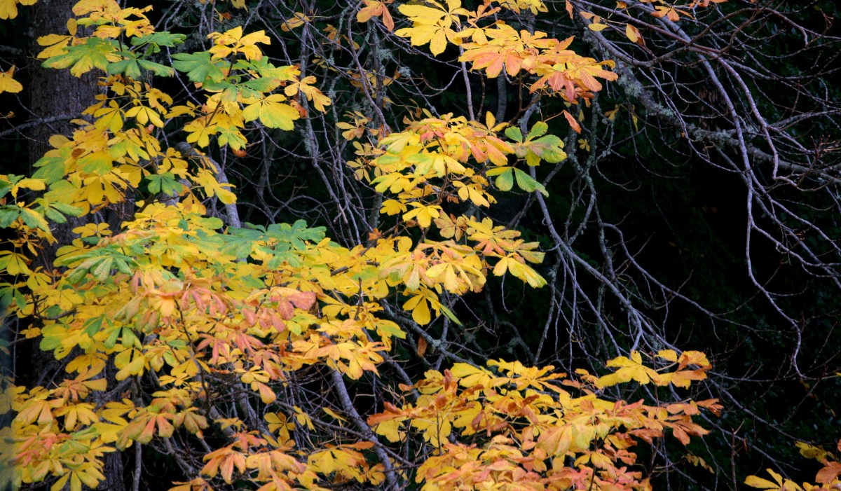
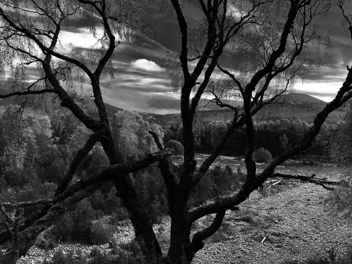
The birch woods in Glen Feshie. A location the family camped in on several August evenings in ’66
The beckoning scenery of the Feshie valley
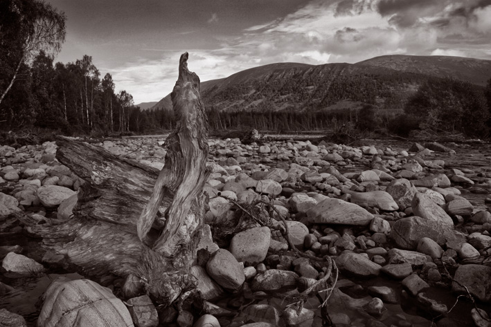
The Feshie Valley must be one of the remotest in the region. There is a track for about 4 miles, but that winds up at a deserted croft [still called ‘Achlean’ on the map], and onward travel is by foot along paths managed for the benefits of walkers and deerstalkers. Out on the floodplain the river spreads wide showing the damage seasonal confluences can bring. Above log debris on the rocky floodplain.