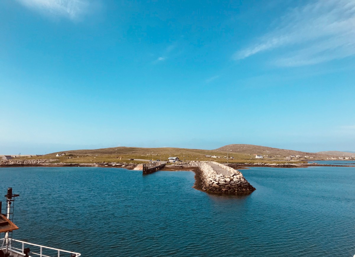
The Arrivals Terminal – North Uist
So we had crossed another mad-navigable part of the Minch to arrive at the top of North Uist. Beautiful it was, and idyllic. A possible Pomarine Skua, Black Guillemots and other ‘exotics’ [to us southerners] as we glided across smooth waters avoiding seaweed outcrops covered with fat seals. Bird world in a glassy light.
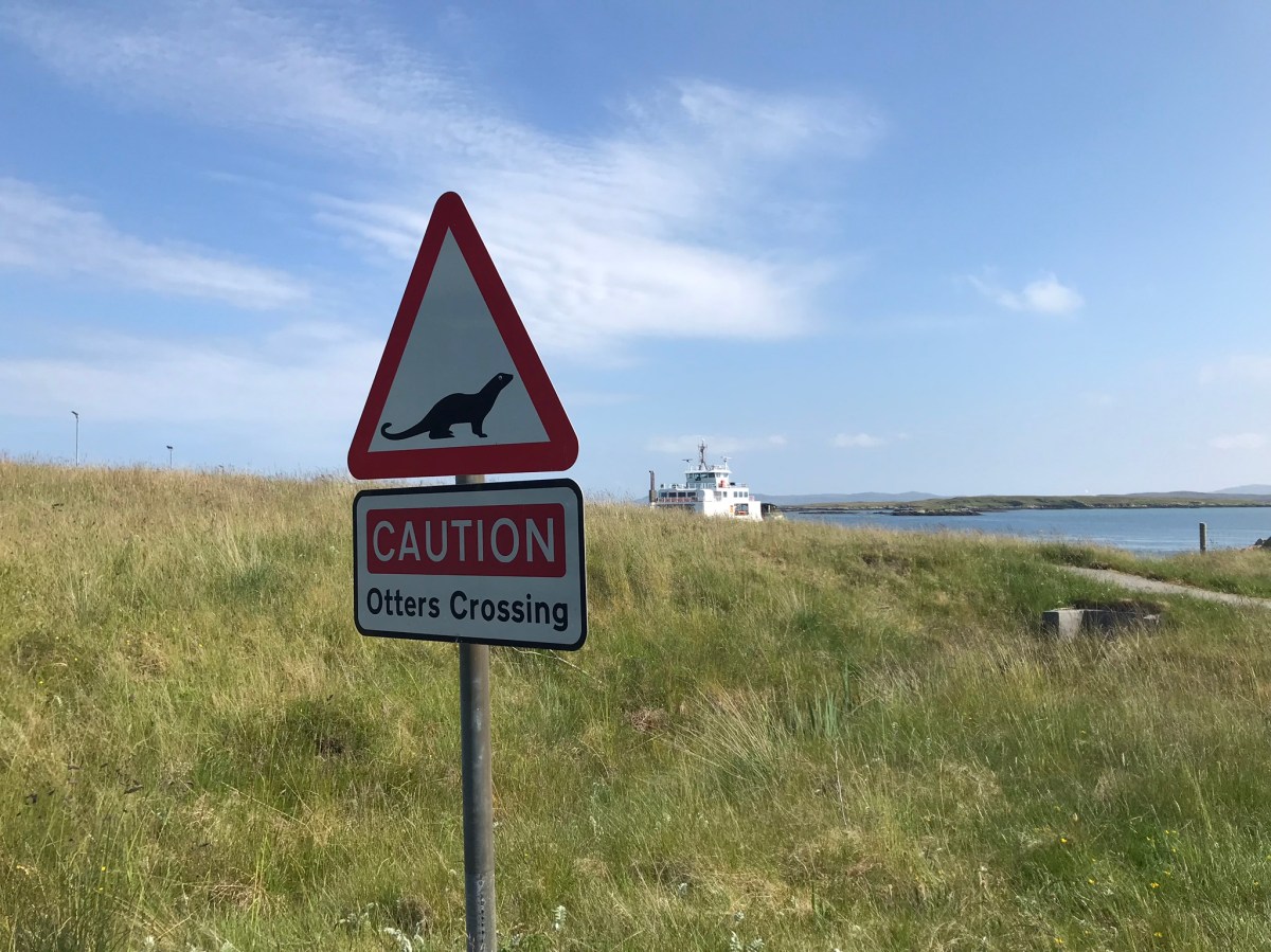
Otter Warning on the Berneray Causeway – the ferry still visible.
The view from the top of Uist – Berneray Island
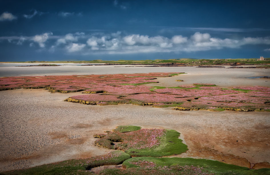
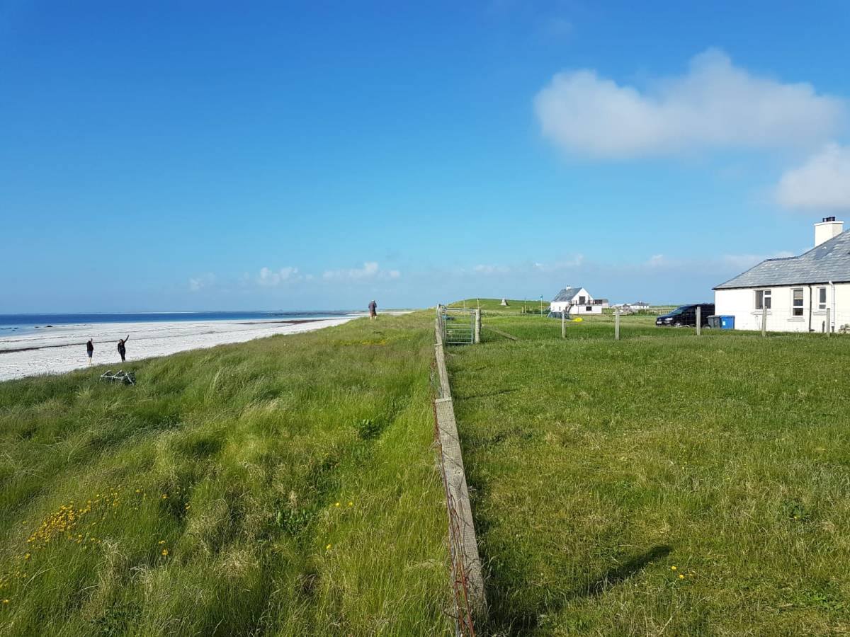
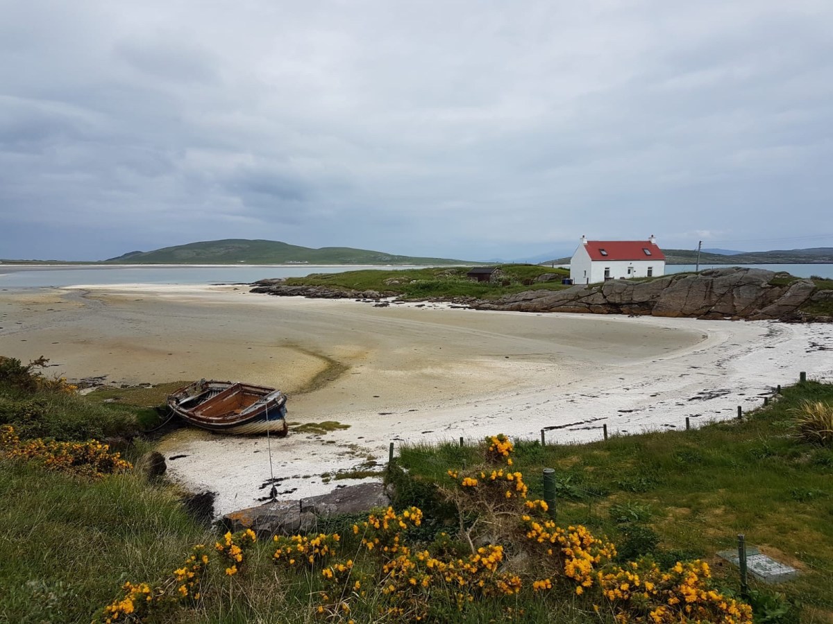
The salt flats on the Northern Coast of Uist
Day’s End…
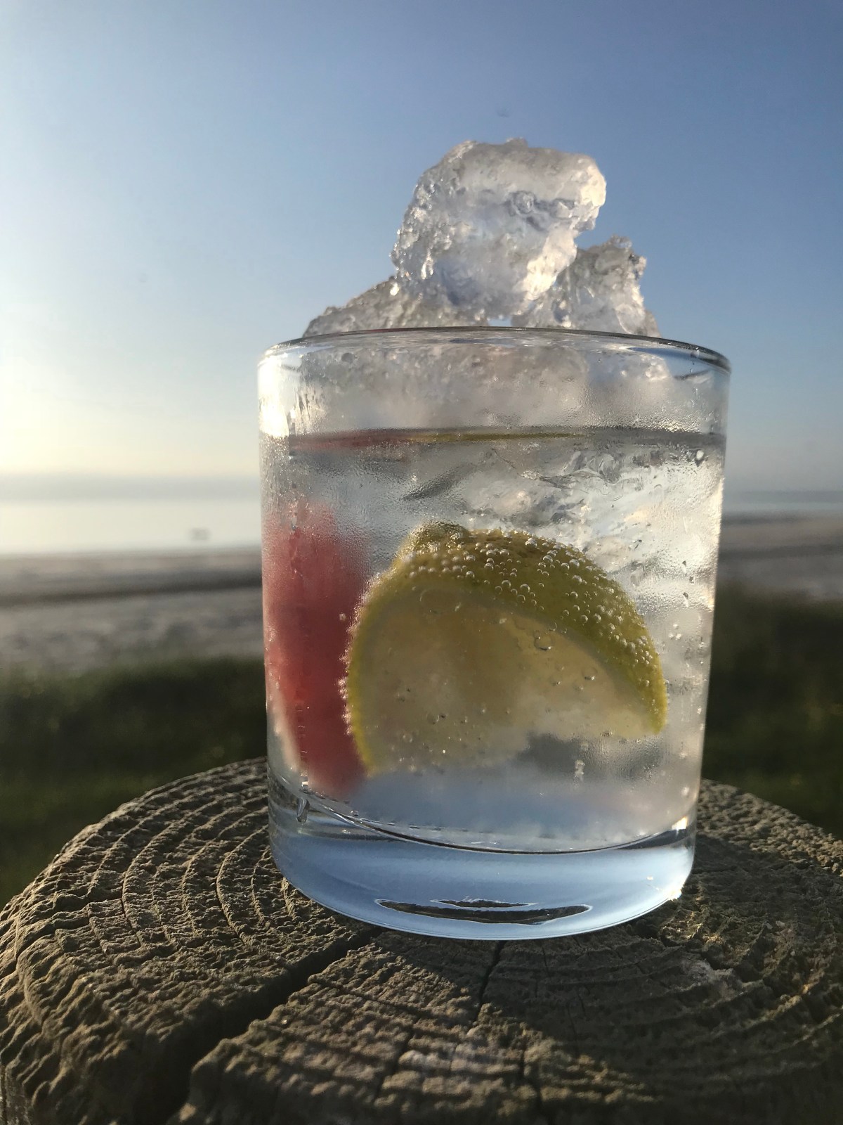
Harris Gin successfully exported in our car boot to the cocktail bar we created in our new house on Uist…
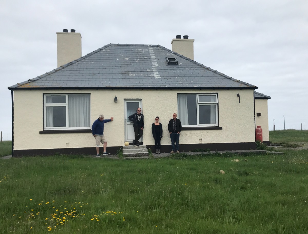
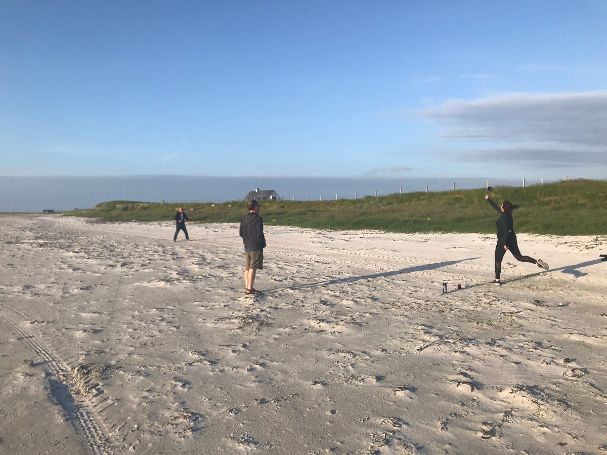
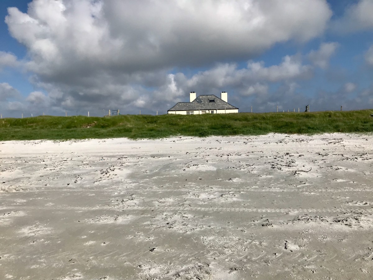
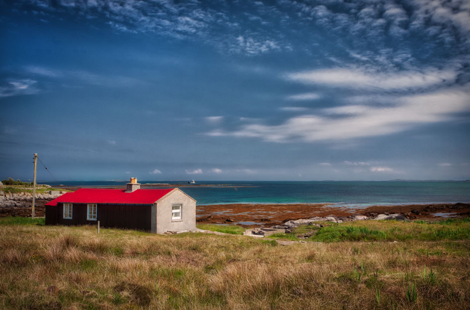
I think all of us who made this trip would agree that there’d normally be little point in making anything of a two-chimneyed sort of bungalow that sat in its own grassy patch a mere cricket pitch away from the Atlantic. Indeed one that had been carefully pebble-dashed [to match everywhere else], and left on its own, probably over 300 yards from its neighbours. But then take a look – evening light and not a soul. Cricket on the beach, thousands of wading birds and only a 5 hour night. It was something special – even if the weather was exceptional.

Sun still up 10.30. Roger Not
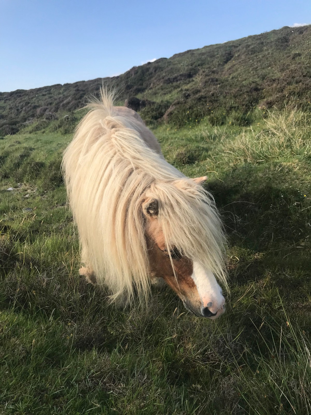
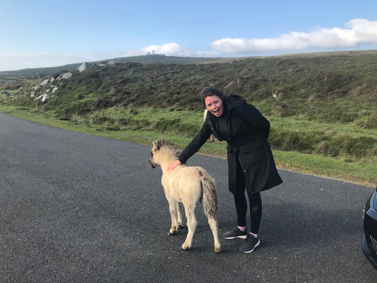
Strange things along the way – not birds but Shetland Ponies. According to Daisy, affordable, but not best kept in Kingston.
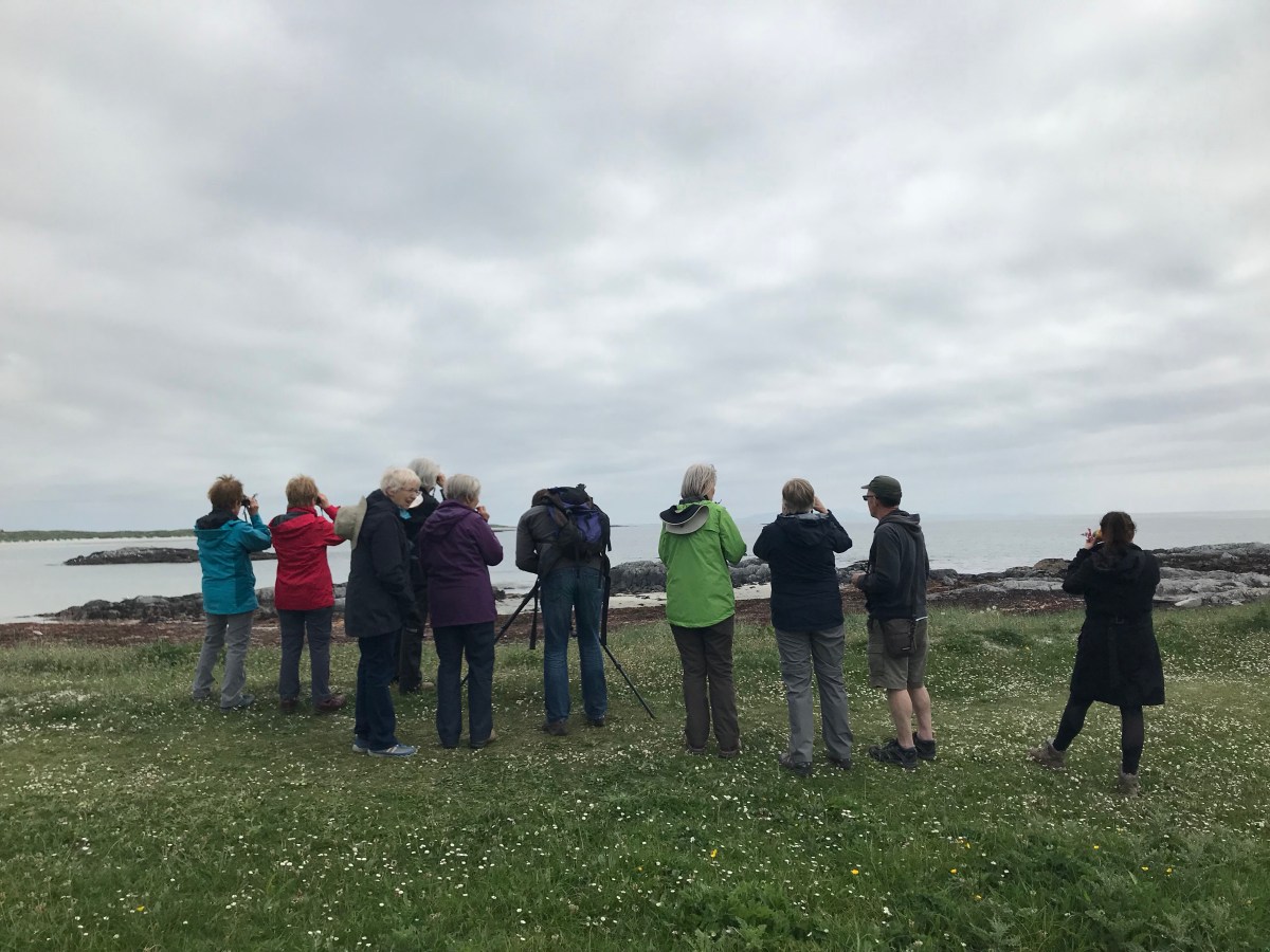
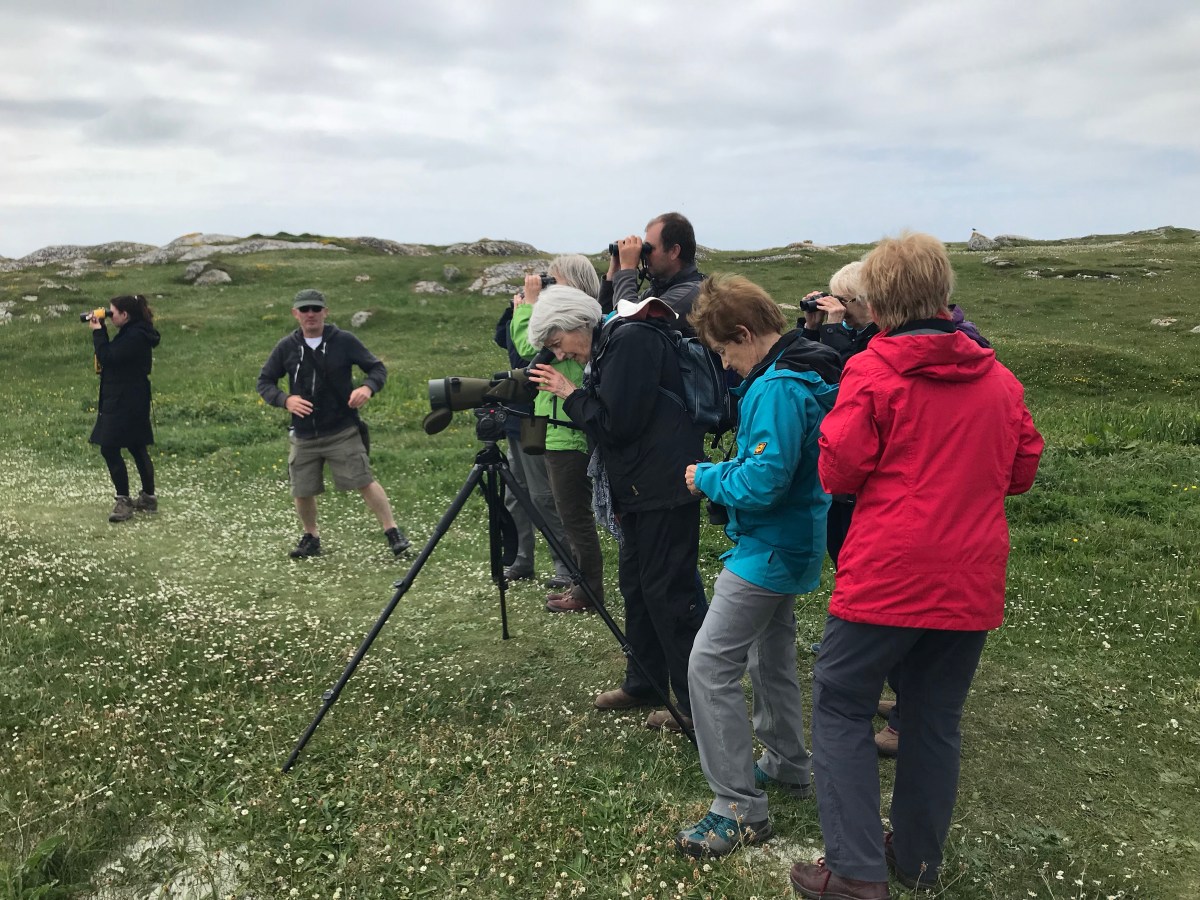
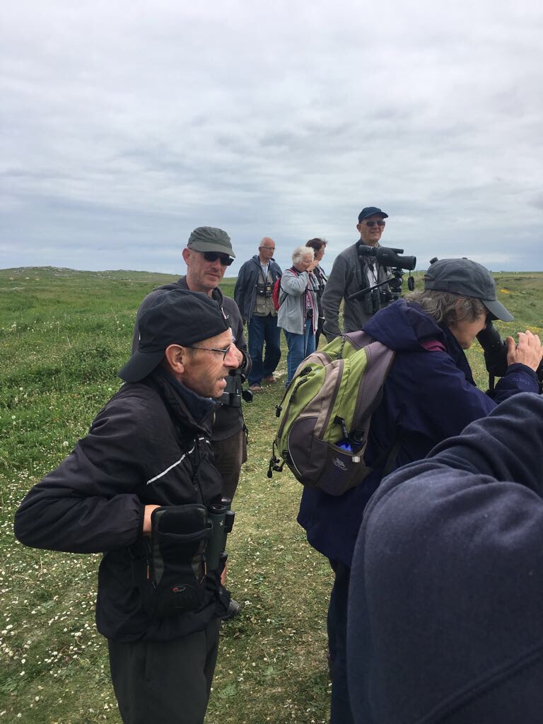
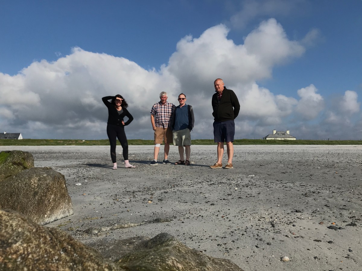
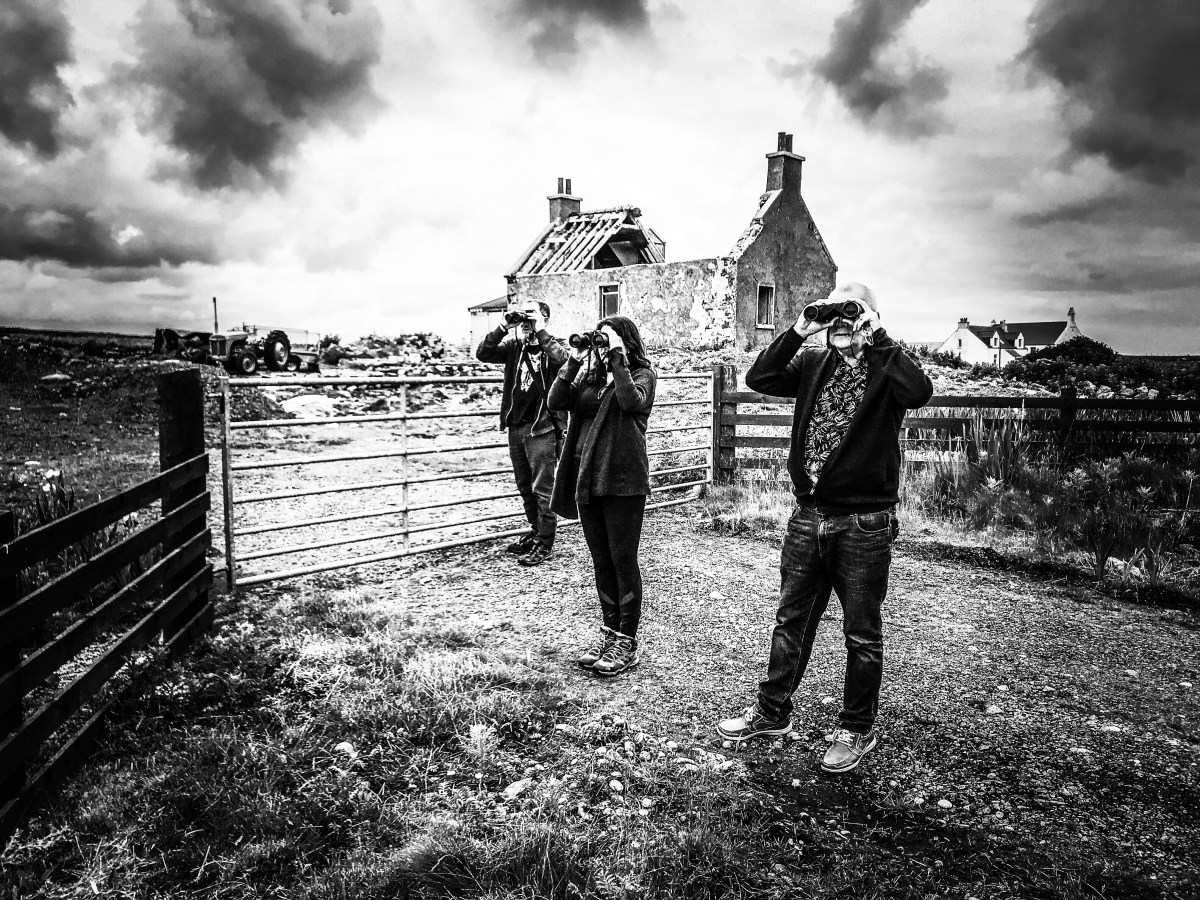
3 shots above that should come with a warning – ‘You may become what you follow…’
In this case a twitcher. Terry takes stock of it all realising that he’s already over halfway there. The man in the foreground here could have even been one of our new characters – Cyril’s brother perhaps, only a ‘Twitcher’ as opposed to a ‘Hopper’.

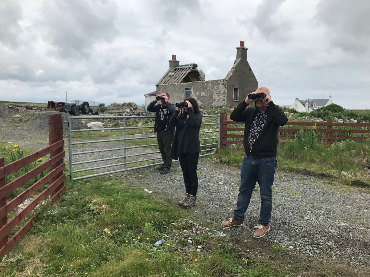
Just to confirm the above point. The Southern Twitchers in a post-apocalyptic scene, scanning hard for the Hen Harrier.
Post Script: Below a black and white effort to illustrate the above in a dramatic fashion.
 Such is Photoshop
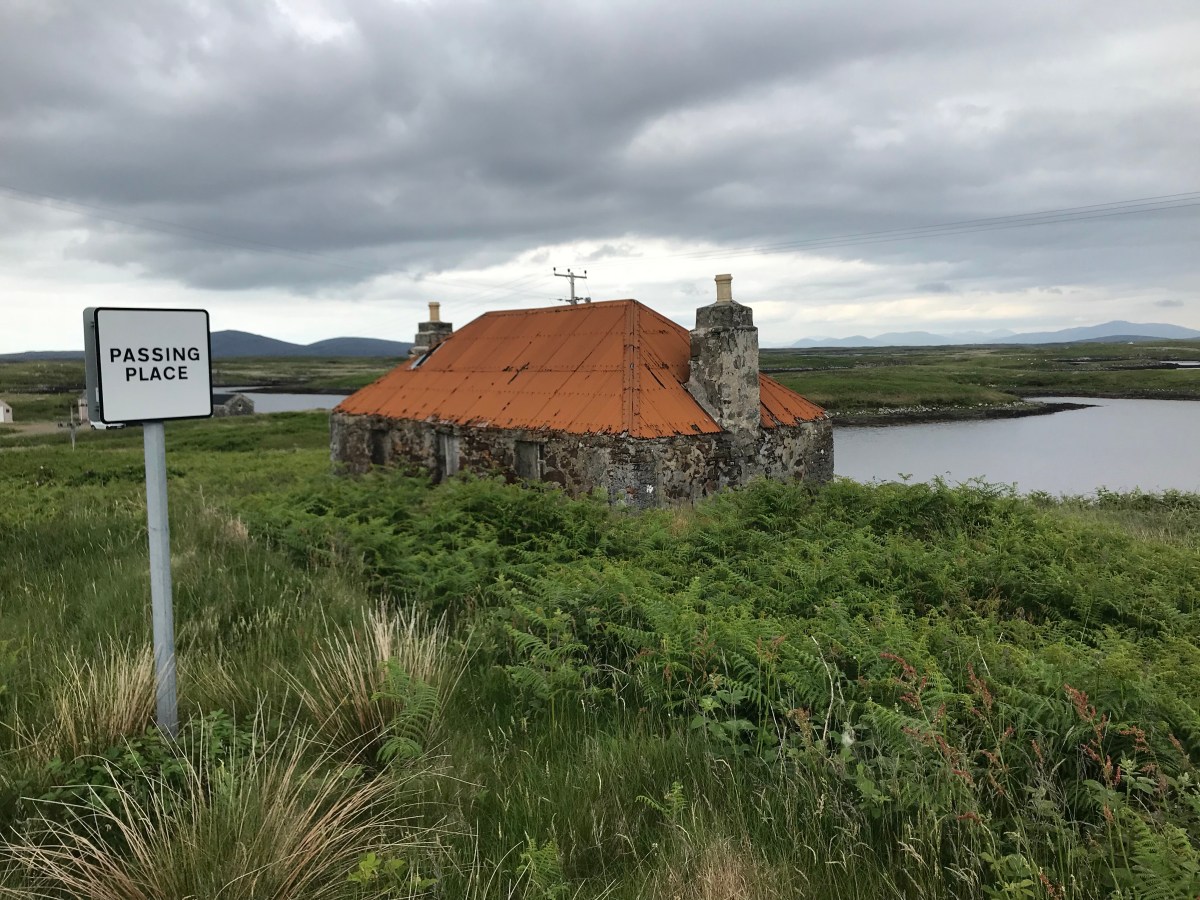
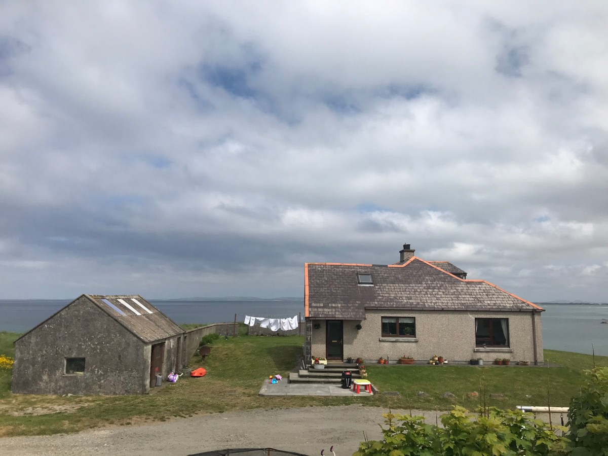
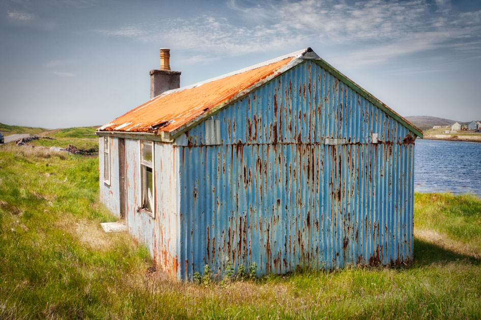
Below: Houses in the Uists and Benbecula


Travelling through these islands you quickly realised from your car how incredibly difficult it must have been only a few years ago. Shallow bays and lagoons interspersed with rock outcrops just give rise to a swamped-out landscape that seems to ooze bogs that scarcely breath above sea level. Causeways have now been constructed to ease our lives, but before these outcrops were interconnected, it’d be like crossing endless tidal mires with only an educated guess about which was the best route.

North Uist to Benbecula. Now an A-Route that probably took travellers only a generation ago the best part of a morning. How did Bonnie Prince Charlie manage back in 1745?

2 views up the sea eagle trail out on the East coast of South Uist. Spectacular scenery but no Sea Eagles. Only a very good sighting of a short eared owl.
What do you do when you get to the bottom of South Uist?
You go to:
https://jimsoccasionalblog.wordpress.com/2018/06/13/3-disasters-in-a-day/
