My road trip North through Finland and Sweden took me unerringly towards Norway. I had the ‘North Cape’ in mind and anyone sensible looking at the map would have suggested a different route to mine. Nordkapp [as it is called in Norwegian], is the most inhospitable and remotest part of Northern Europe. It’s actually one of the most northern land-locked points in the world.
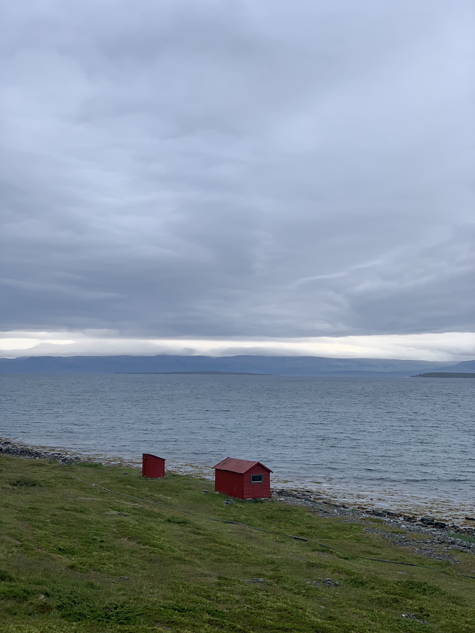
 A dull day in August can look like a day from a nuclear winter to a southerner
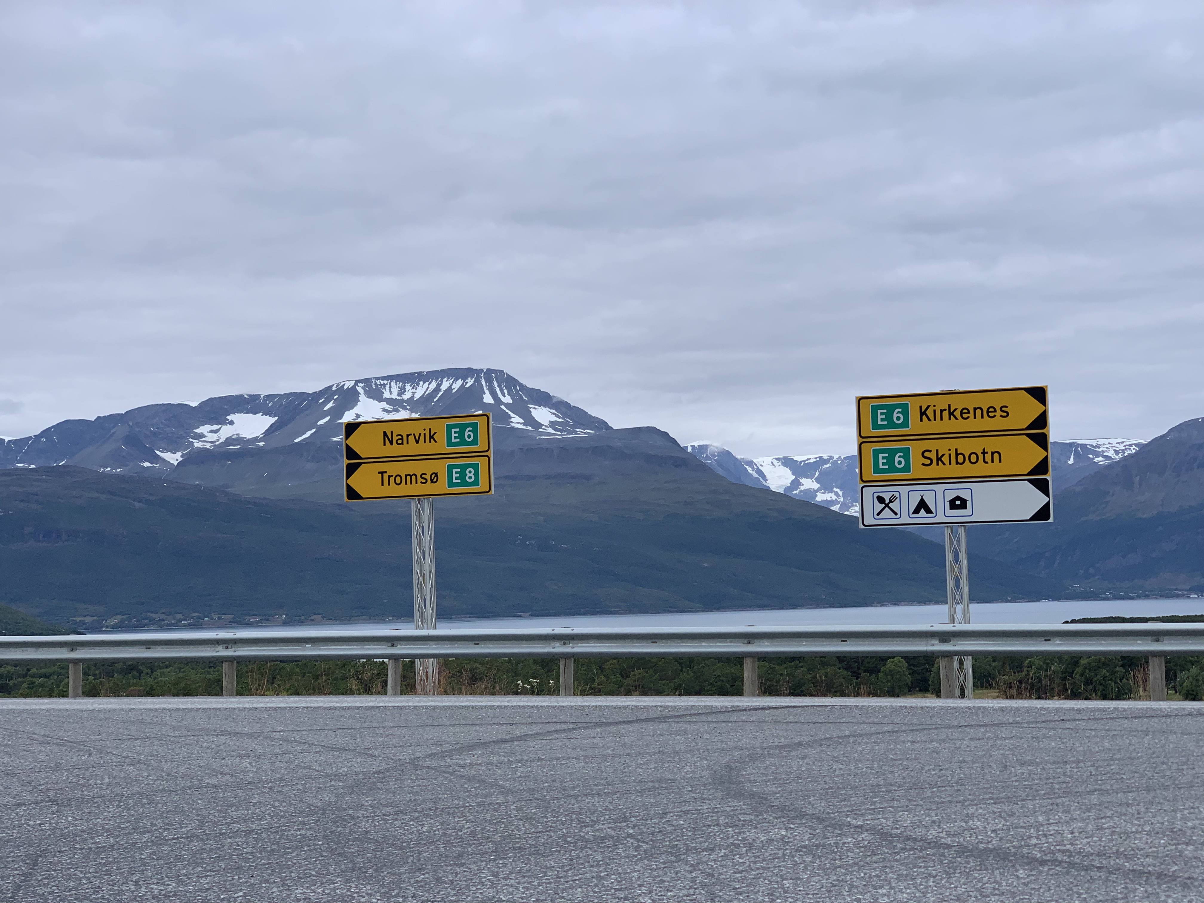
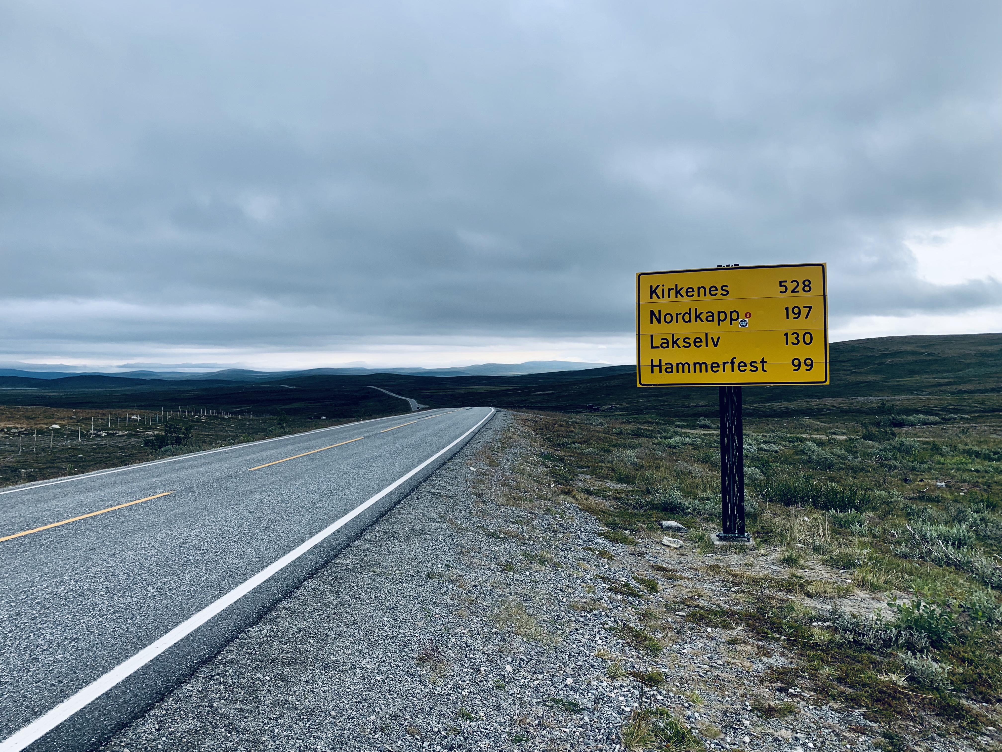
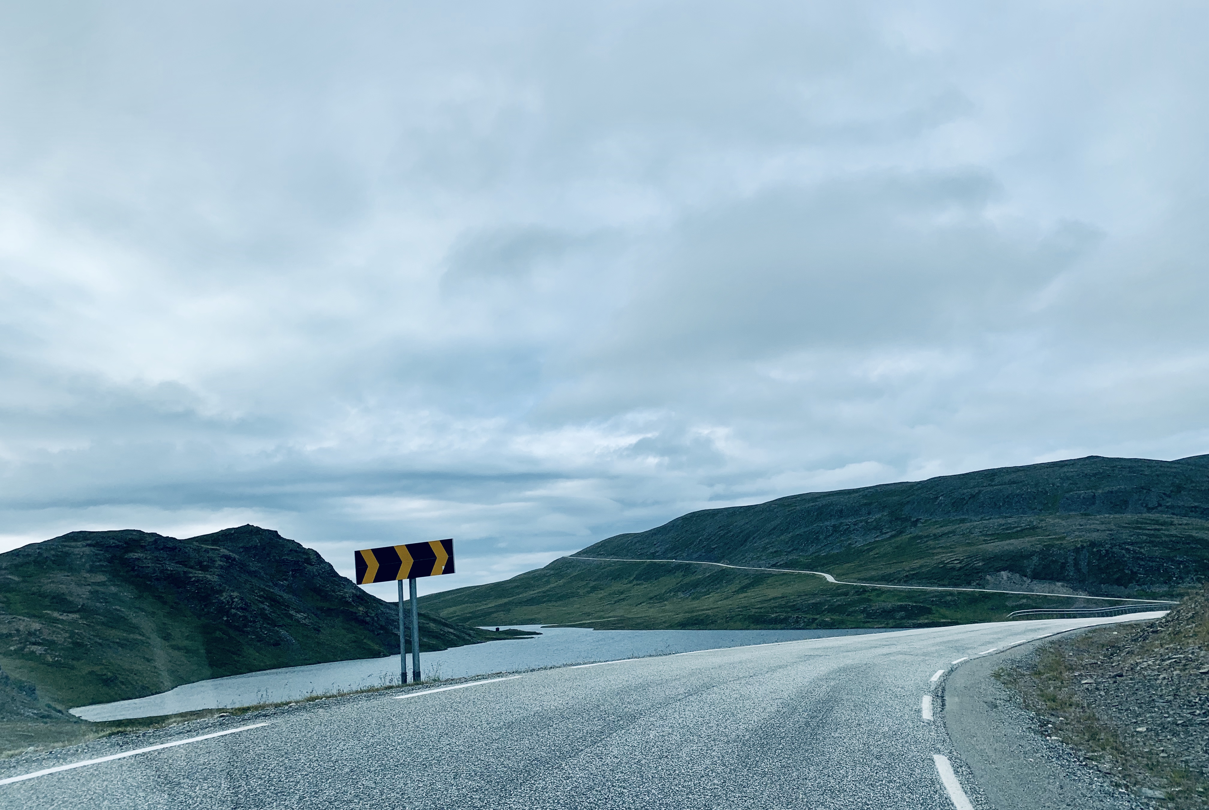
Another day; another decision. Above; The E6, Norway’s longest trunk road where I met it after leaving Finland. Wiki tells me that its entire length from the prosperous south to the wastelands around Kirkenes is nearly 3200 km. Kirkenes being literally the end of the road in the distant north just a stone’s throw from Russian Murmansk and the frozen Oblast region. How many other European routes can last 3200 km?
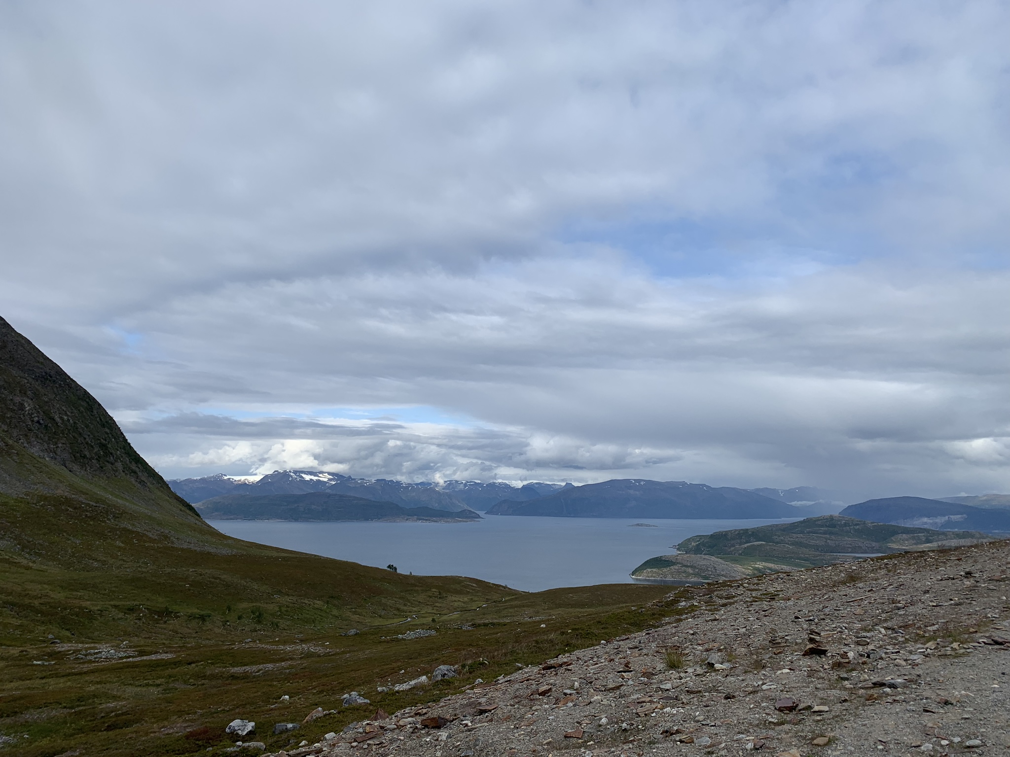
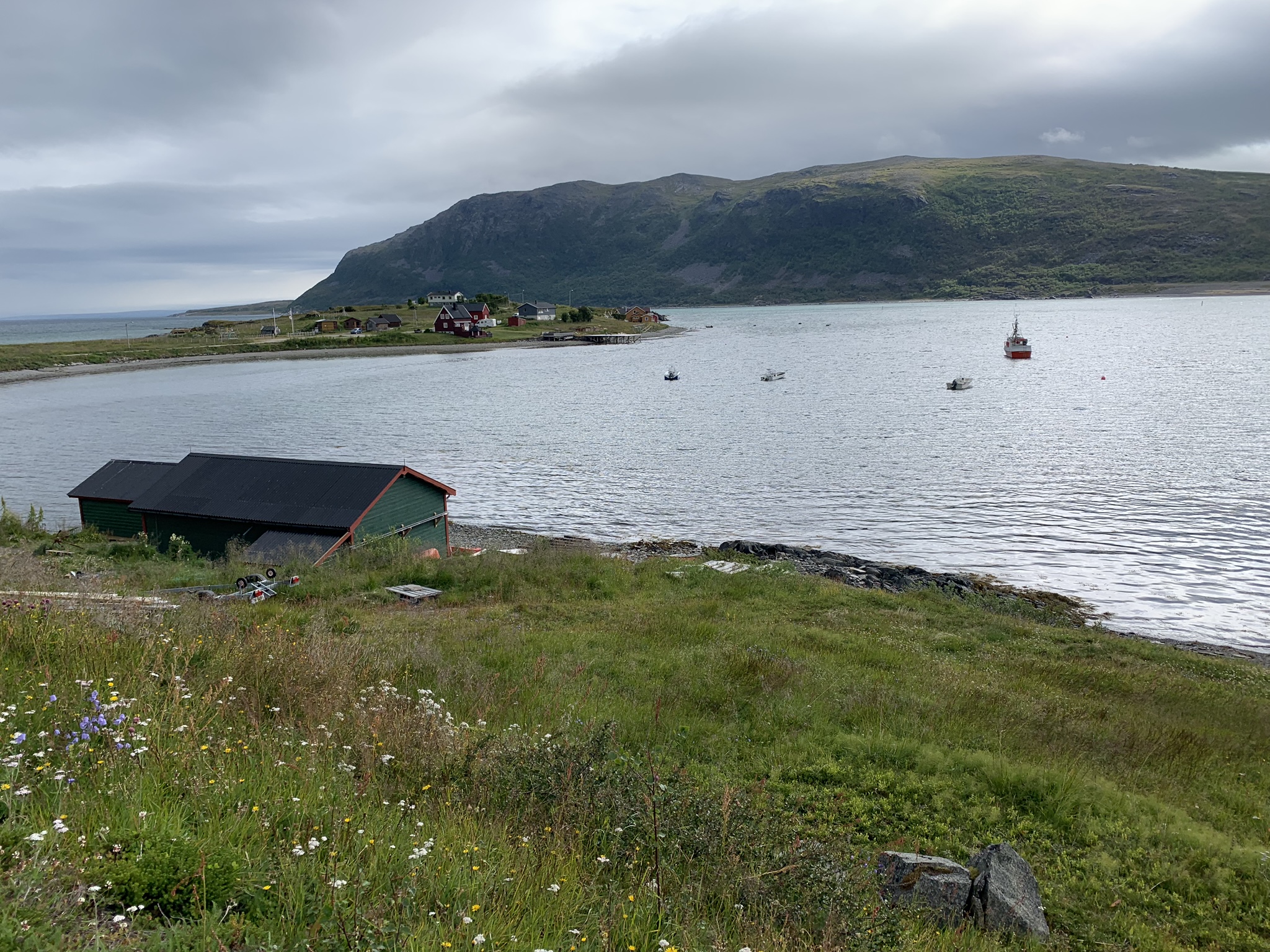
But first get there. And my SatNav ‘tutted’ when I chose the fjordland route. I was making hard work for myself going along the Norwegian coast that has more inlets and outlets than any coastline in Europe. Probably the world.

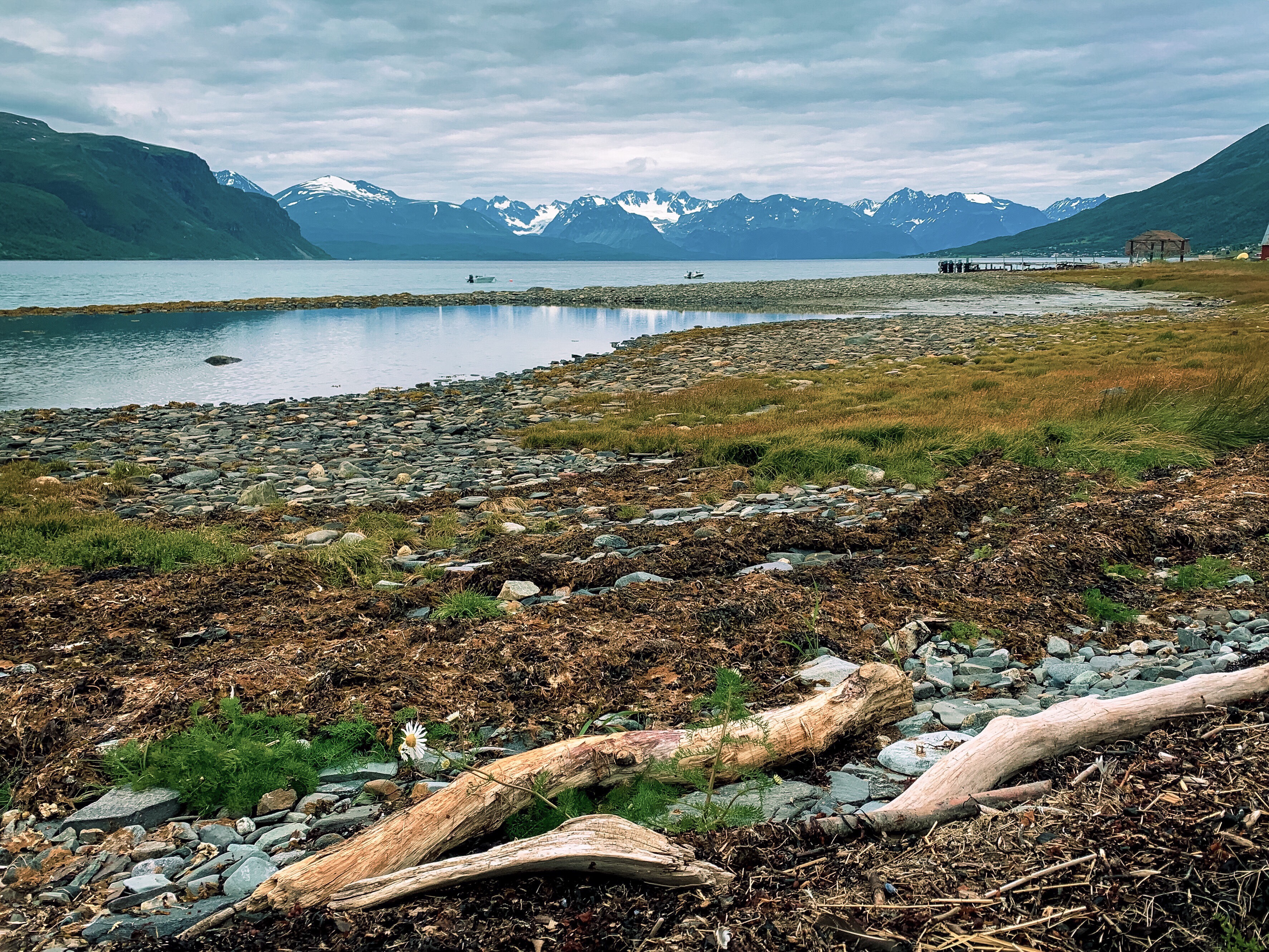

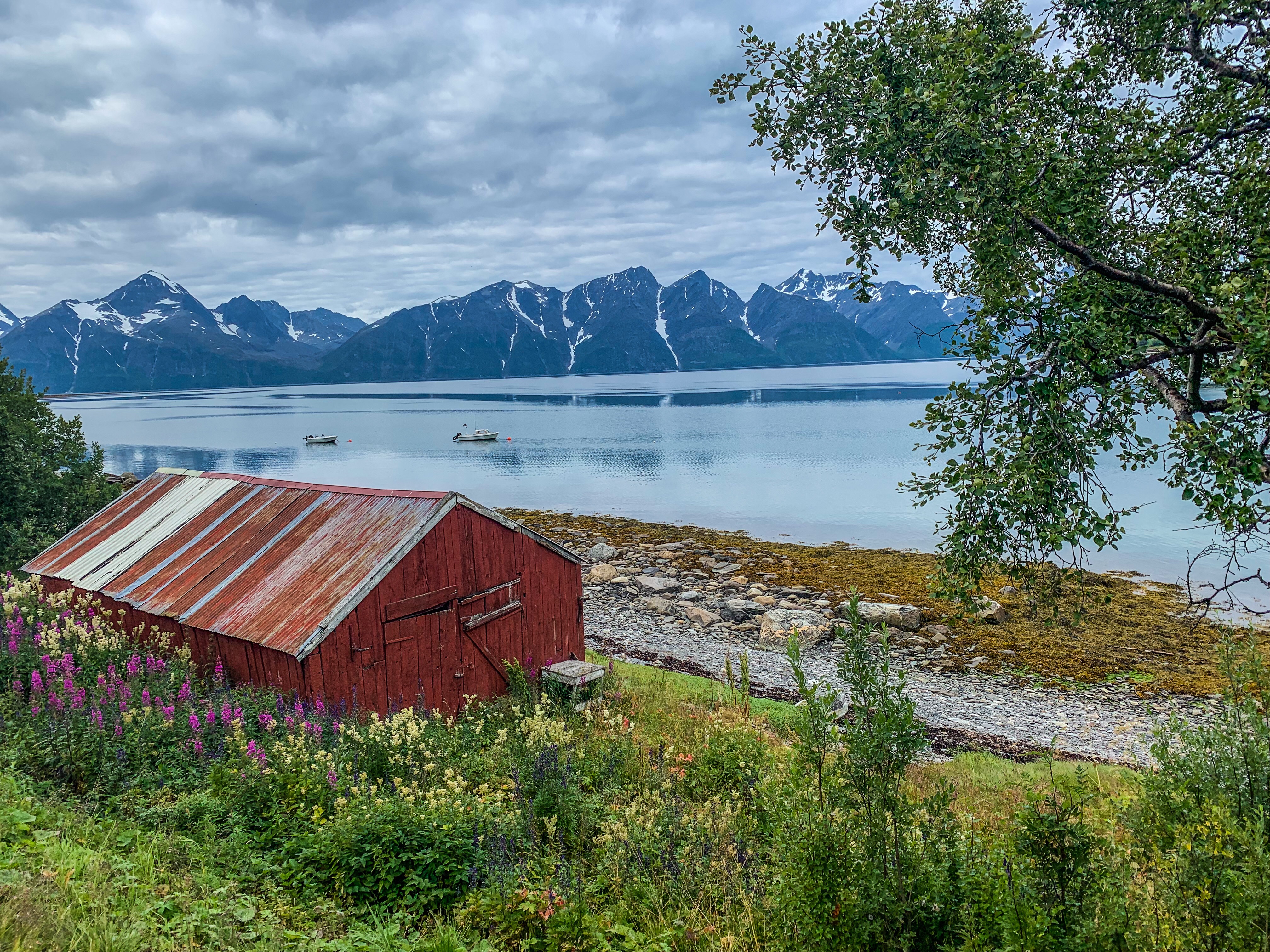
 Above and below: Pictures that convinced my wife she was right not to come
 Norway seems to be obsessed with traffic regulations. For one, the maximum speed limit on a main single carriage highway is only 90kph – 56mph. Driving for any distance certainly seems slower if you adhere to this. BUT it was wise to do so as there were cameras everywhere – not just around human habitation, but out on the open road.
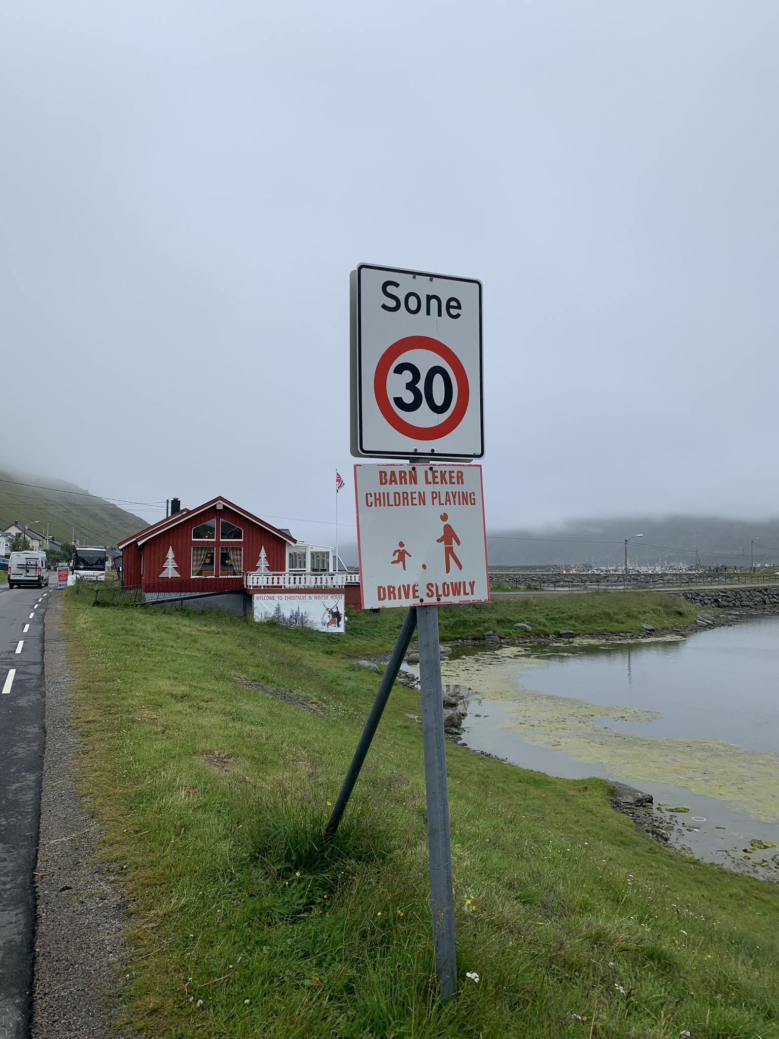
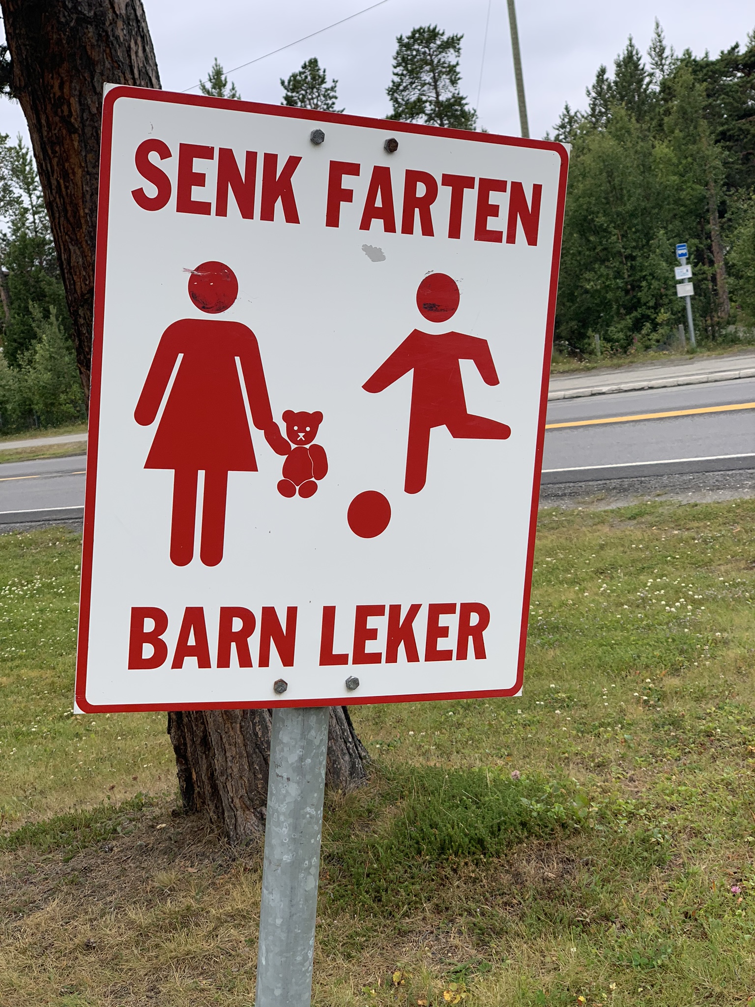
Nothing to do with farts. ‘Slow Down, Children Playing’ – What? ‘Up here?’
In built up areas it’s almost quicker to walk with 30kph often the limit. Or exceed the limit on a bike. Oh, and don’t forget ‘headlights on’ at all times! A Scandi thing we used to laugh at 40 years ago when Volvos arrived on our shores with their lights permanently ‘ON’. Back then my Dad used to think there was something wrong with the oncoming car or more likely the driver, so he’d flash at them…
This was the land of the Midnight Sun where in high summer it doesn’t get dark for over 50 days… although the weather I had in mid-august made it seem like Scotland on a normal day.
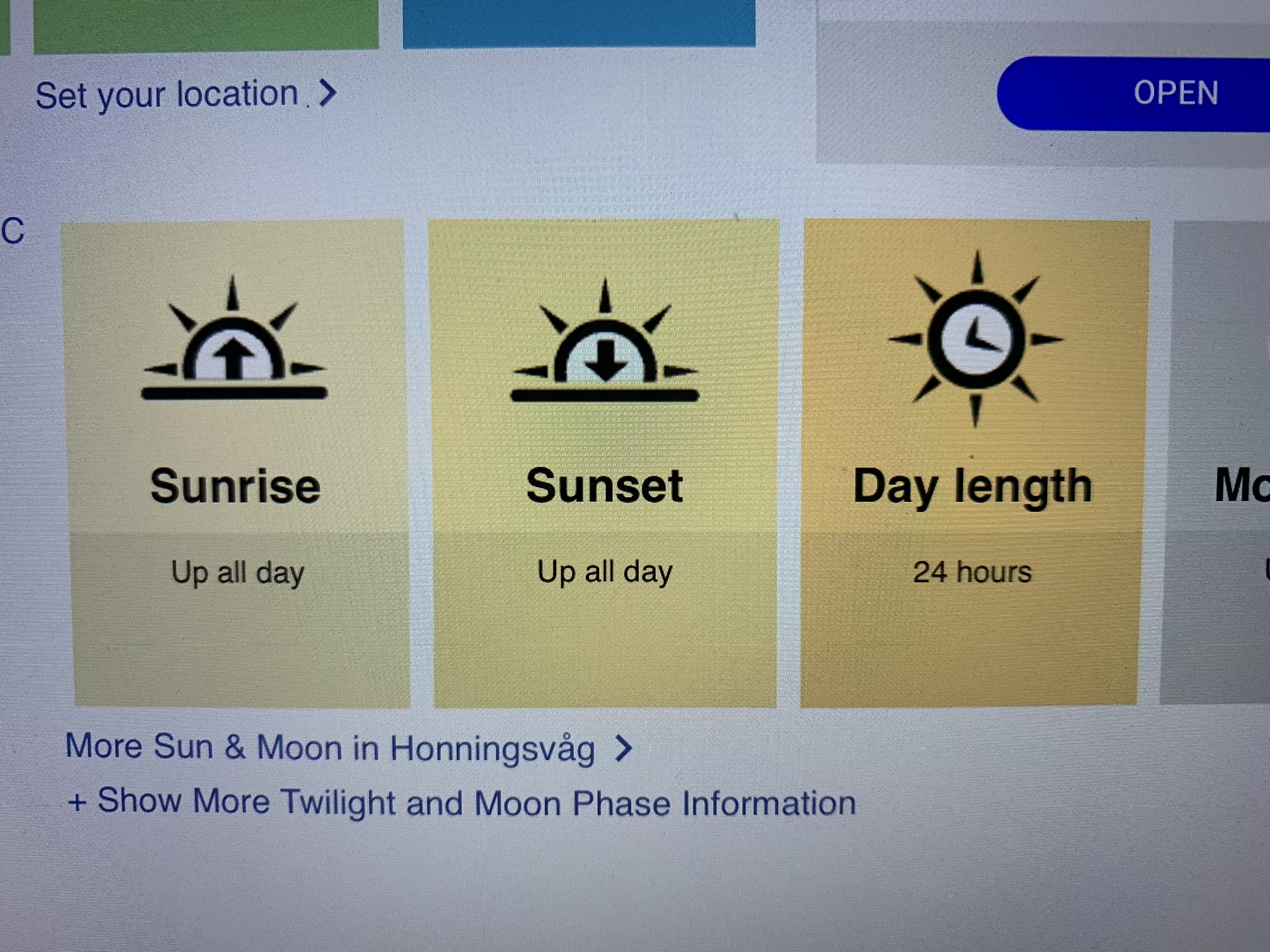 Day length chart for the visitor to fathom. Set at Honningsvåg the ‘base camp’ for onward travel to Nordkapp
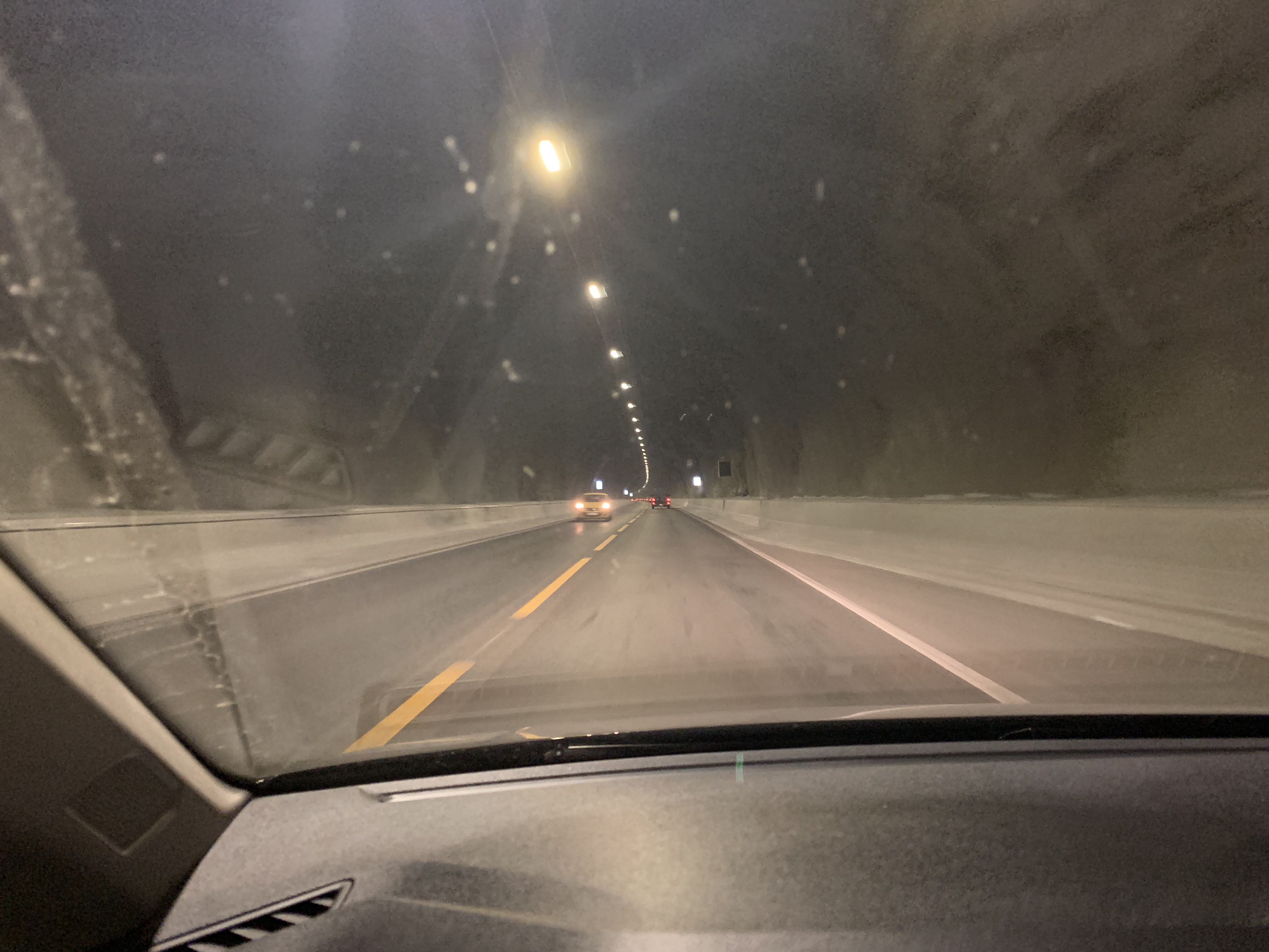
Below one of the many superbly engineered tunnels that had recently opened. I probably passed through 20 such, the longest being about 5 miles, and went right beneath a long fjord. Salty drips on the windscreen.
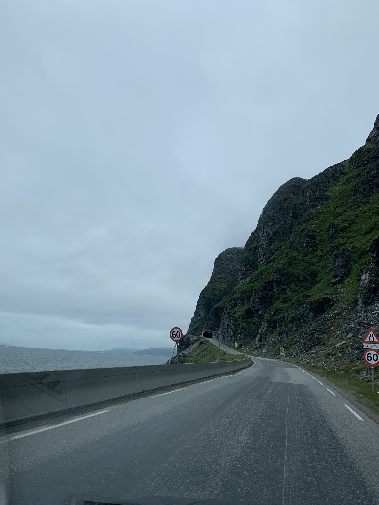 Above: One of the more ancient tunnels
All E6 signs North showed the end destination to be a place called Kirkenes, stuck in the cold Arctic. It boasts being the most isolated city in Europe and on the map there’s no denying it. My journey to Nordkapp meant I had to take this road as far as the town of Alta, which looked much closer and more hospitable.
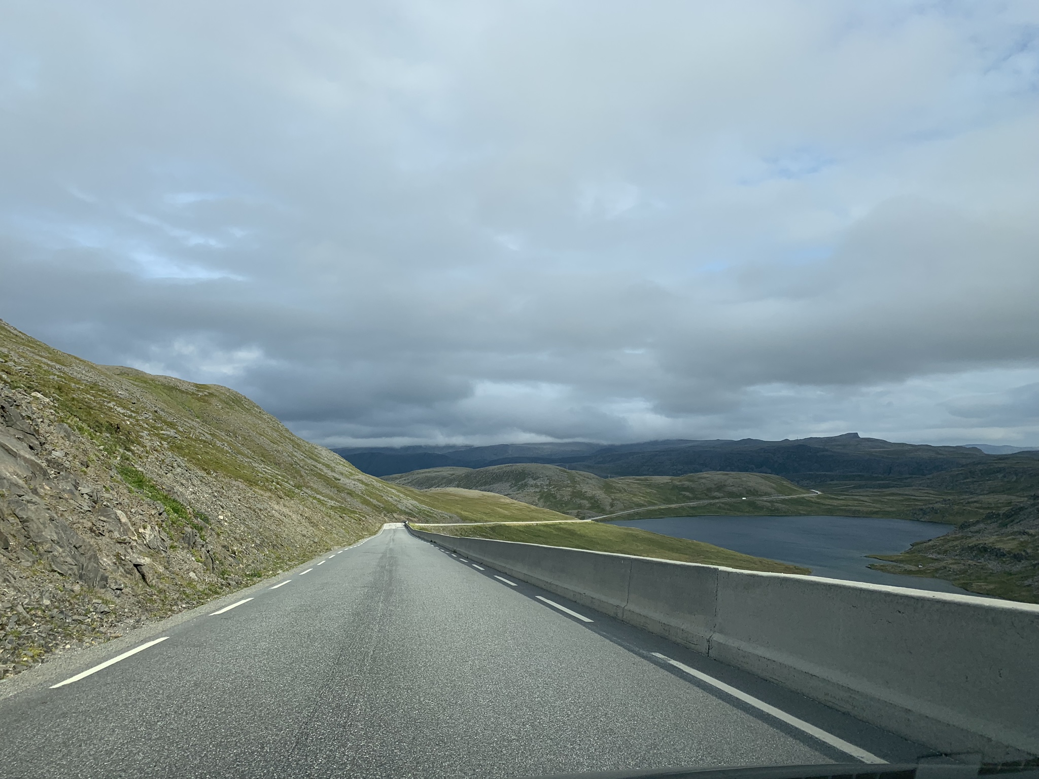
The road to the last places on earth – tundra, reindeer and always 4G signal. That’s Norway
An interesting web-driven fact told me that this far north in Europe does not experience the same cold as other places at the same latitude. The Gulf Stream has its effects – meaning that the Arctic in these climes is not as cold as Alaska, Canada or the Russian equivalents. We’re talking relatives here. Barrow and Fairbanks in USA are extreme, as are places in Siberia and the ‘top’ of Canada. North Norway is bleak but doesn’t compete on the records chart. BUT cold is cold, and dark is dark, and water is solid for more than 6 months on end.
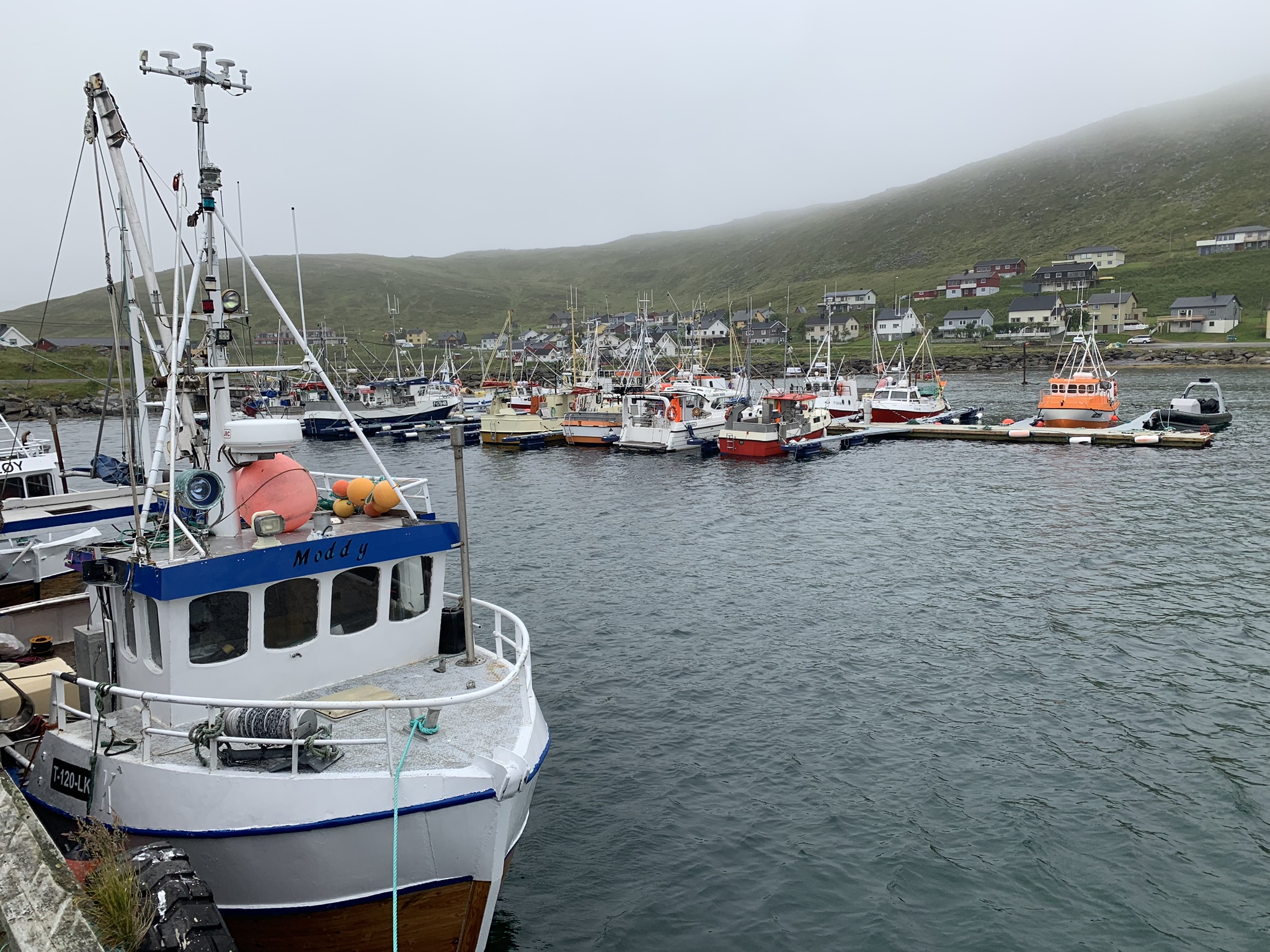
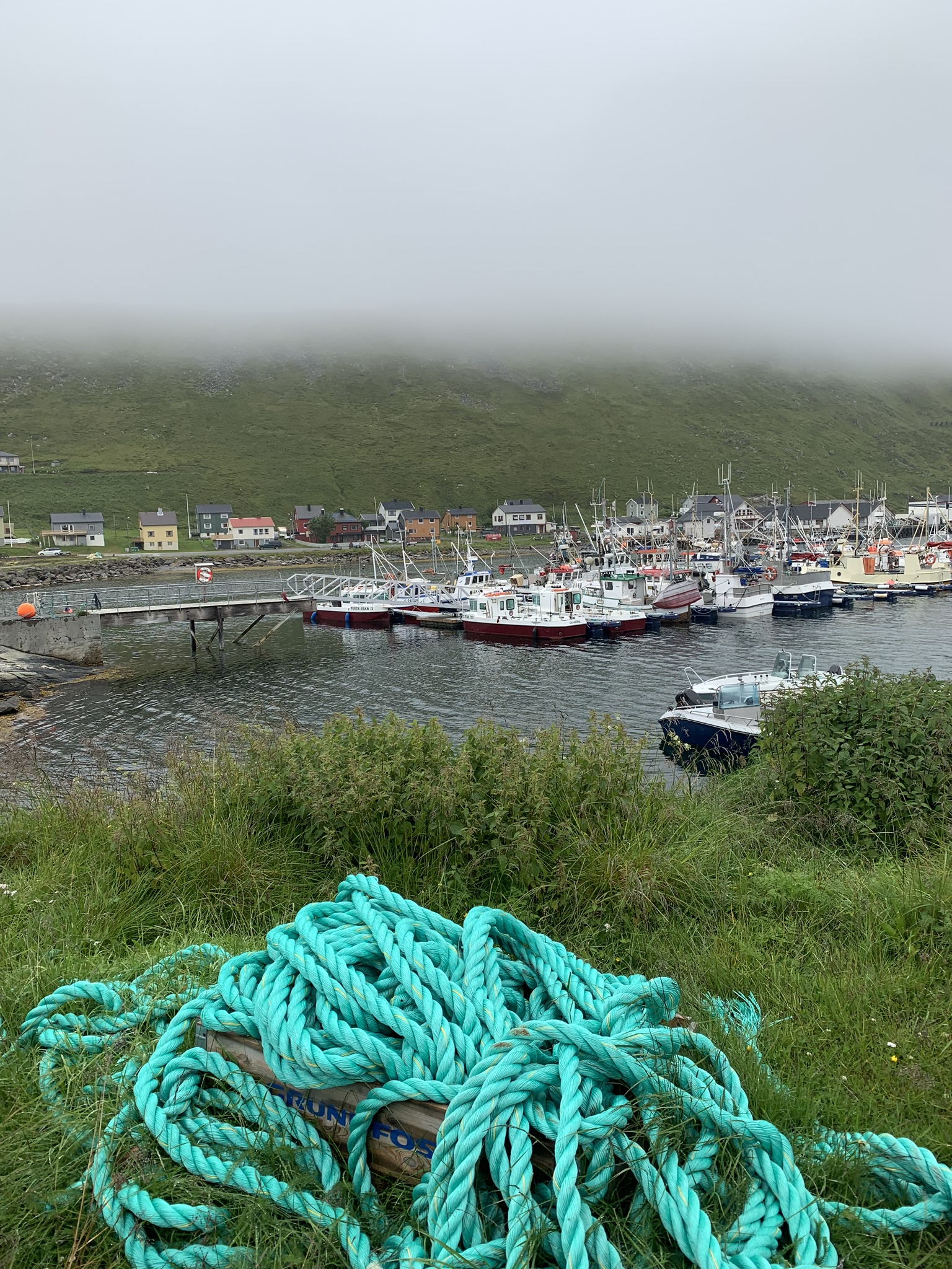
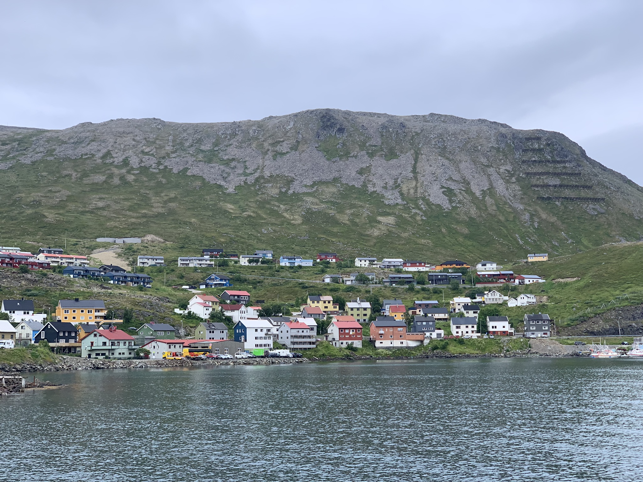 Above and below: the small village of Honningsvåg
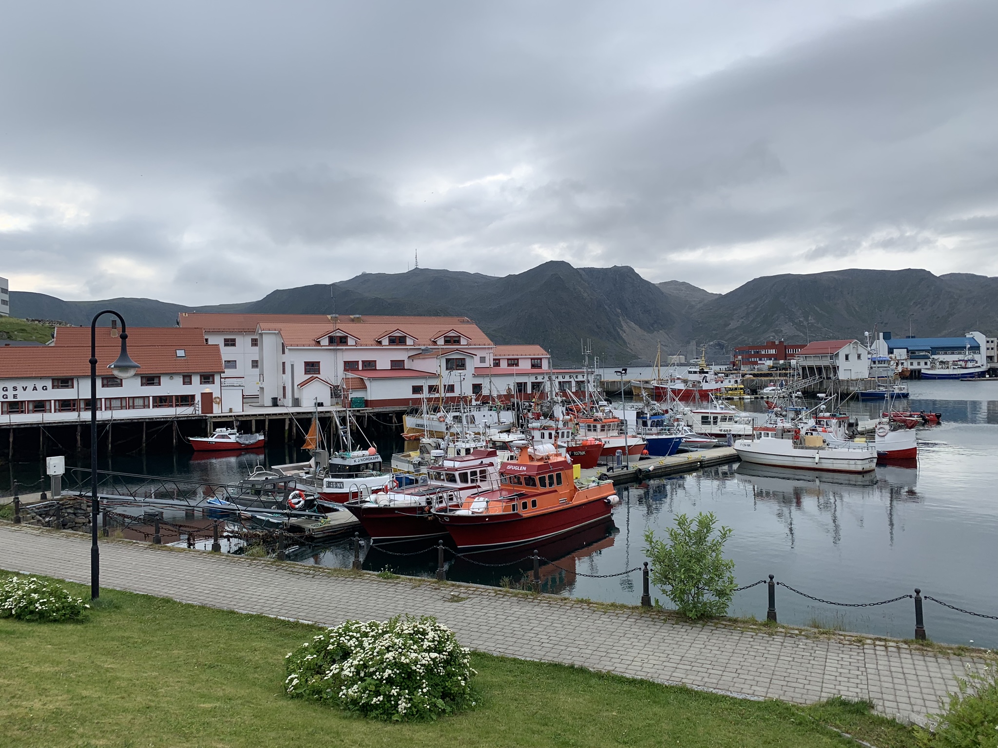
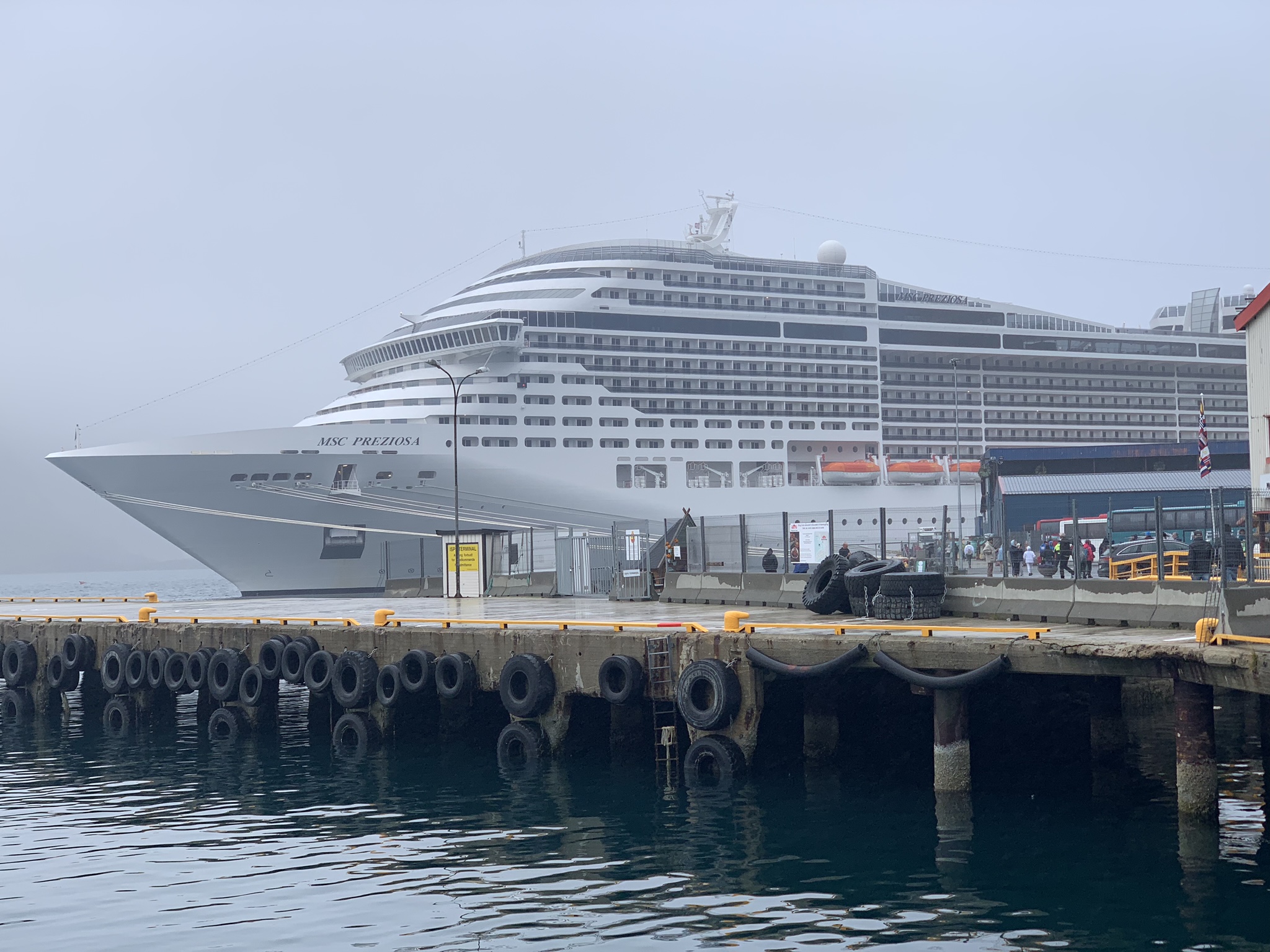 Honningsvåg is the most northerly port in Europe. On one day it seemed small and quaint – although hardly picturesque, but on the next it was completely overrun with cruise tourists who swarmed the small streets photographing everything they could and plundering the souvenir shops for Aurora Borealis trophies and the like.
 This is surely laziness in the extreme. Cooped up on board for days, but once ashore spared the hardship of walking around a little fishing village?
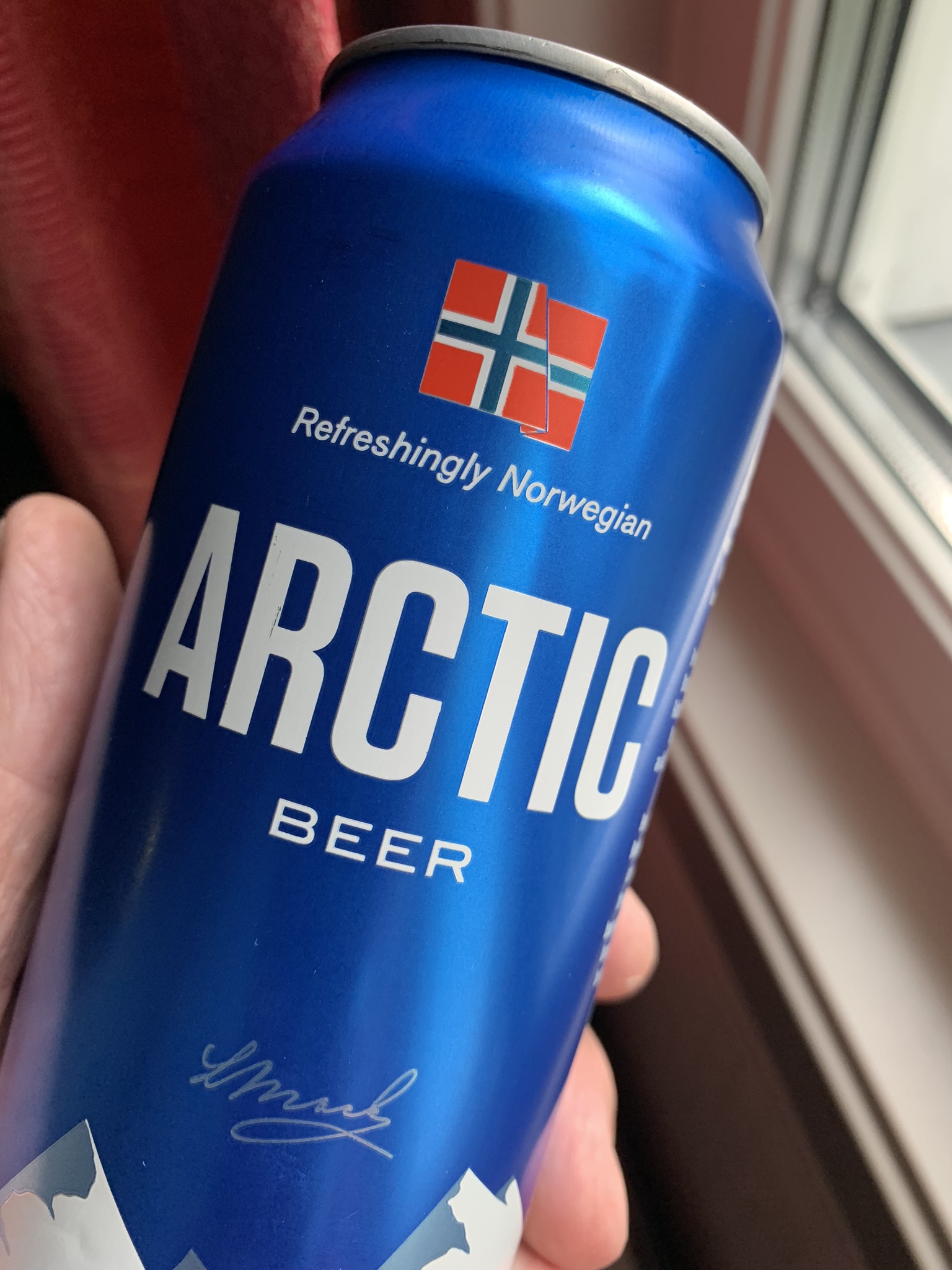 Refreshingly local [Europe’s most northerly brewery], and refreshingly good value in a shop when a large beer in a pub costs 12 euros.
You ask yourself ‘Why?’
Why would anyone live here? Winter sees 75 days of complete darkness, temperatures constantly -25c, and only hard-caught fish to nourish you. In summer constant sun and midges. And hard caught fish to nourish you. 75 days of it.
The weather charts show a gradual rise in summer temperatures to peak at about 12C in June which must seem Mediterranean to those who survive their ‘darkness’ eating fish and telling reindeer stories. It’s understandable why the youth head south. If not to escape the parents, but to get to sample the delights that the rest of the world clearly enjoy – try a panini; eat a sun-dried tomato; watch a gig; stop smelling of fish…
Above: Some Northern Claims. The village of Skarsvåg [elegantly named] is just north of Honningsvåg. On the map it is clearly further north than its Alaskan rivals, but in competition may lose out to some Inuit communities in Canada and of course some Gulag settlements in the old Soviet Union. Whichever way, here sits one of the most northerly places on the mainland world.
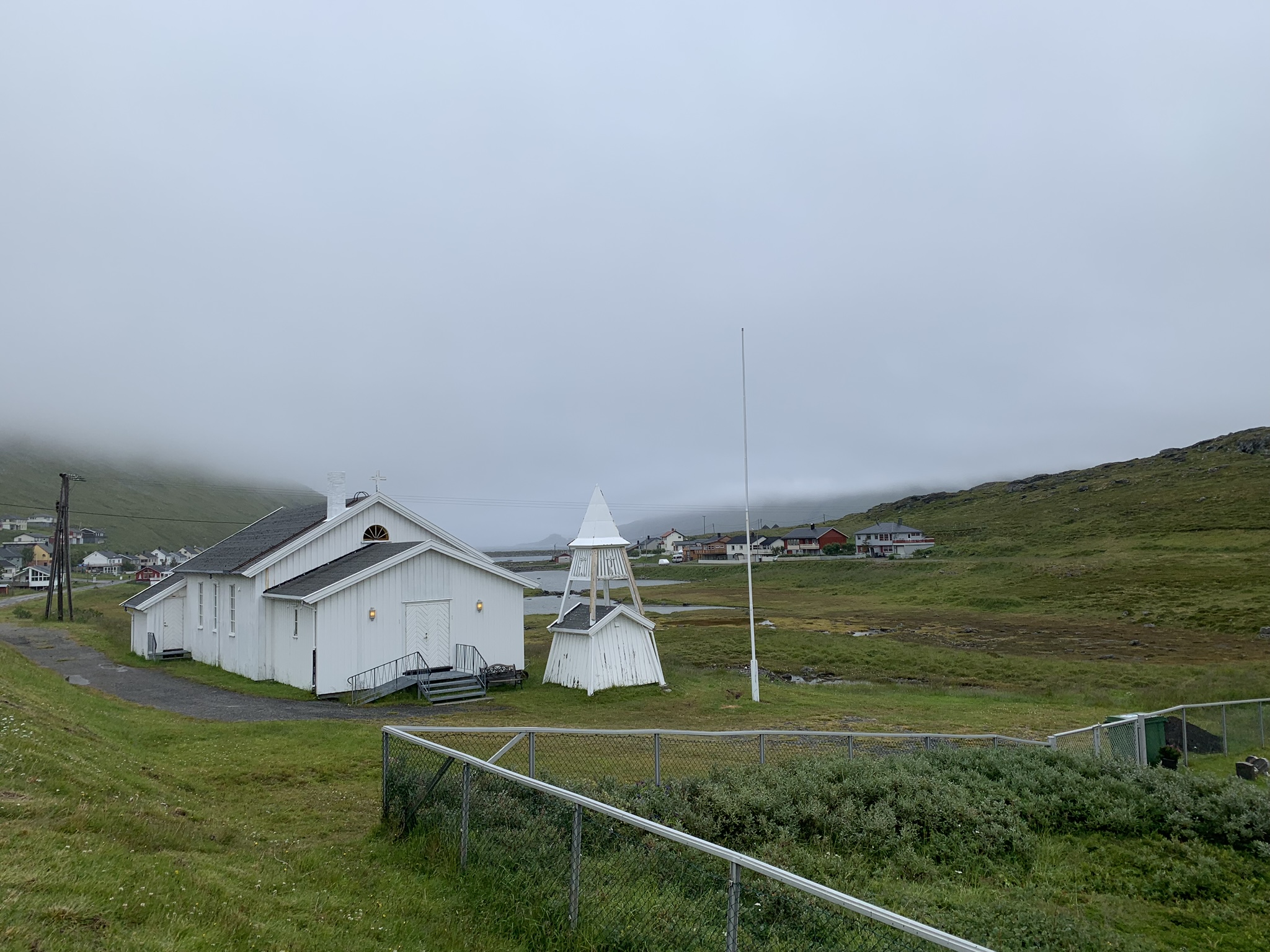
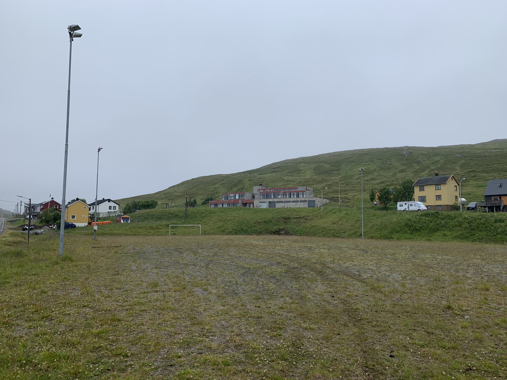
That means the Church, Footie pitch and ‘harbour’ are reasons to be cheerful at 71 North. Football rivalry probably means the ‘Våg’ Derby (Skars v Honnings) could be the most Northern in the soccer world…
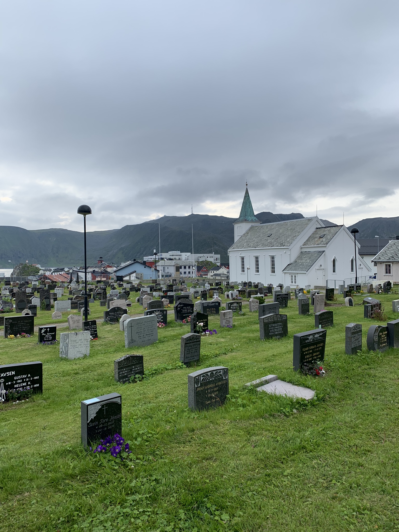
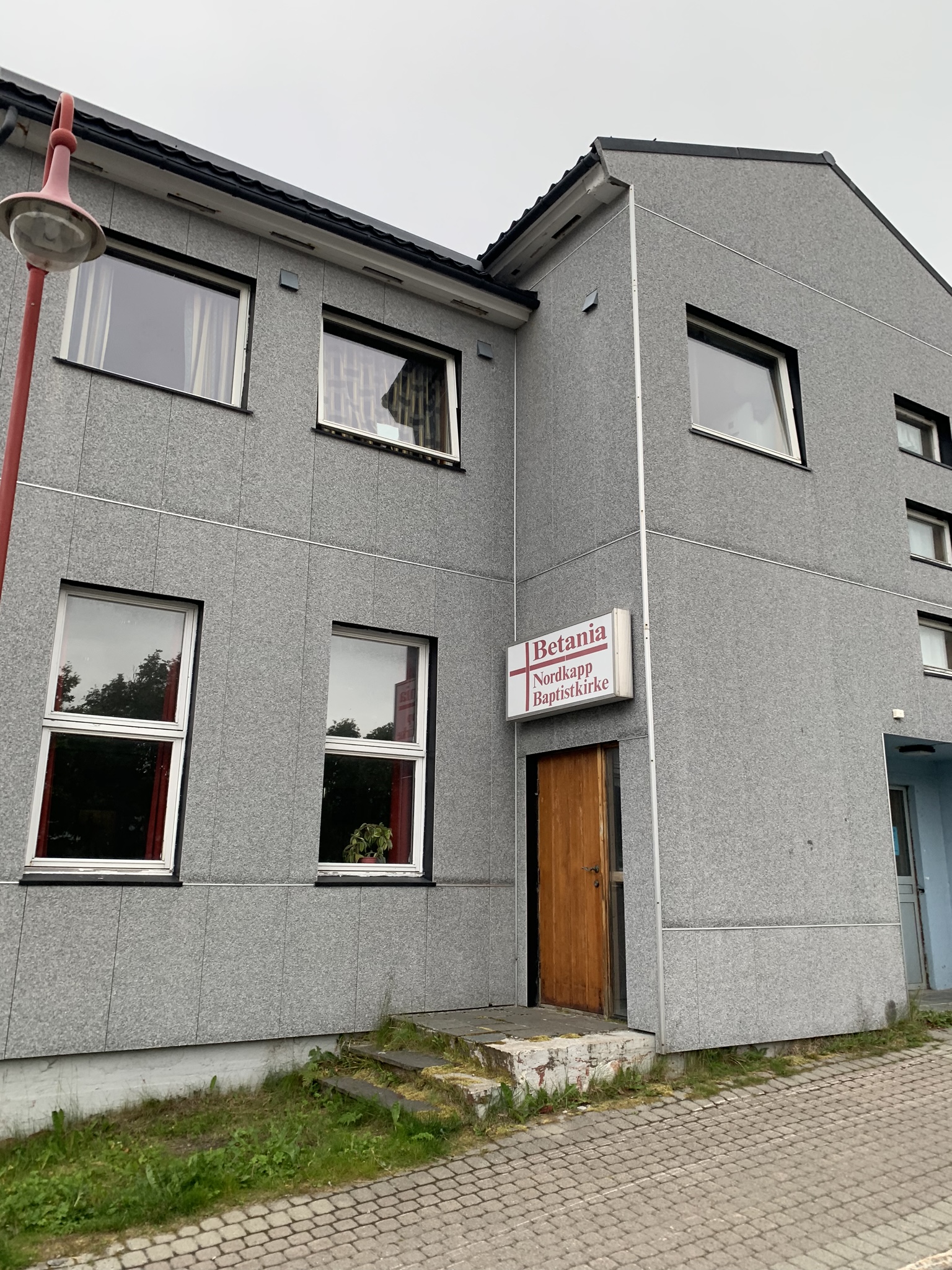
Below: Baptists get here too
Below: A surprisingly good pot-hole-free road to the ‘End’
 Below: Barents Sea and nothing much else…
Below: The ‘Top’ and The Beginning.

Journey’s End.
