It had taken us 8 days to reach the wilds of Durness and Cape Wrath Country. 8 days in Scotland and not a drop of rain to dampen our spirits.
As we started the long trek south, Terry came out with facts about Durness’s finest. Apparently John Lennon spent a lot of his early life here. Summers away from Liverpool and familiar places that would have seemed so far South. He must have trekked up the A838 ‘Passing Places Only’ route – crossed the Kylesku Ferry and seen the same sheep as us.
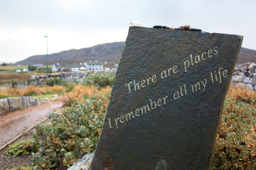 It’s said that Durness was the inspiration for the Beatles’ song ‘In my Life’.
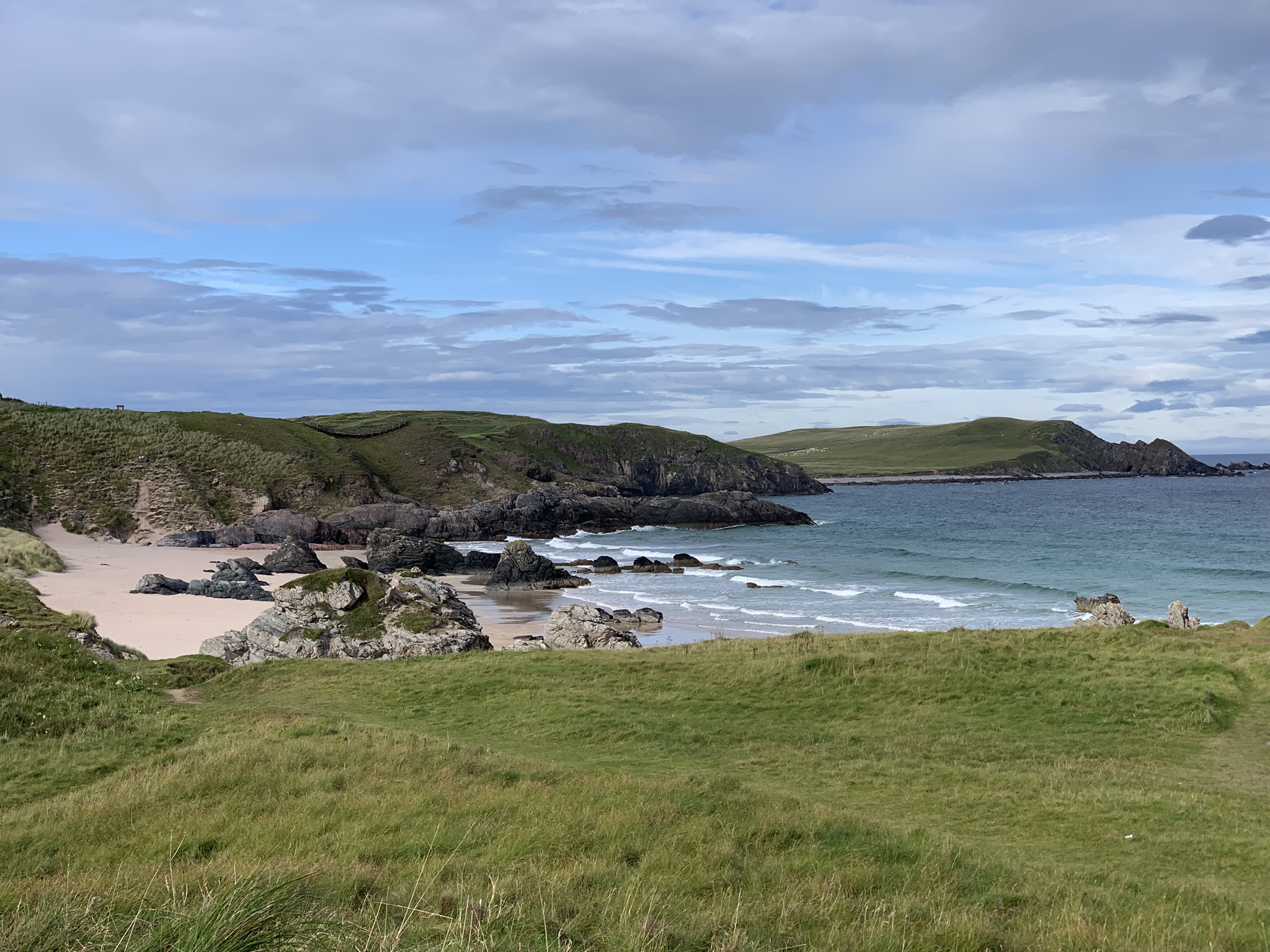

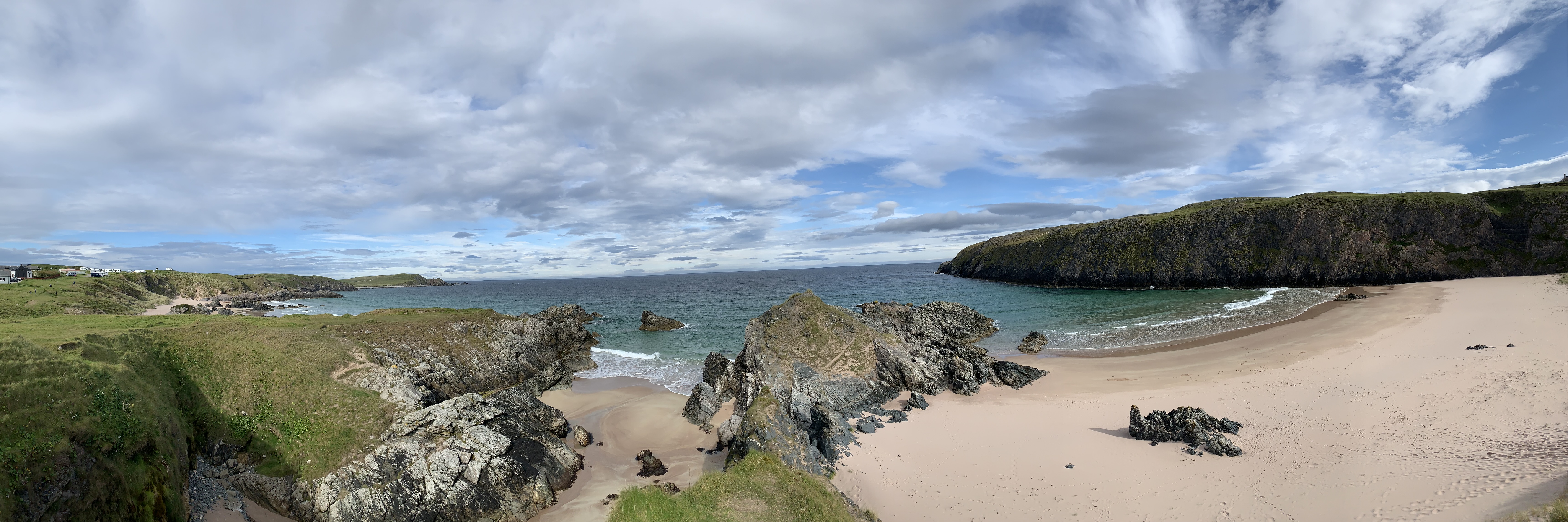

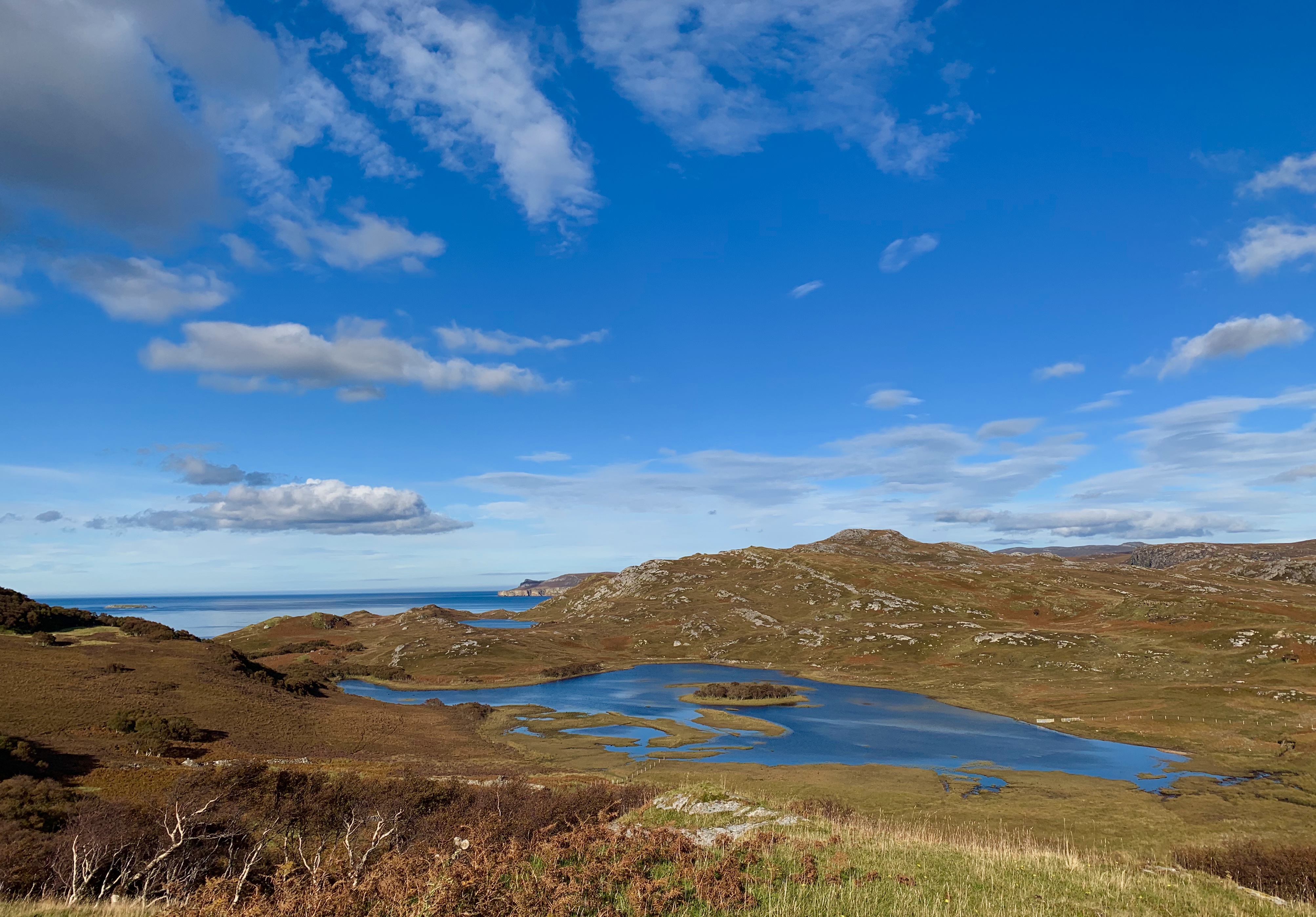
Images of the coastline at Durness. Seen on a fine day.
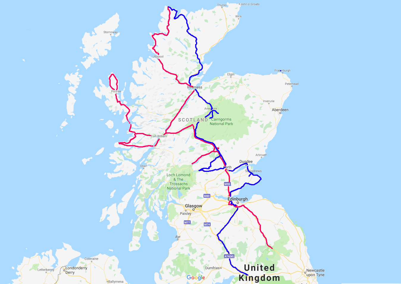
The route south, in blue.
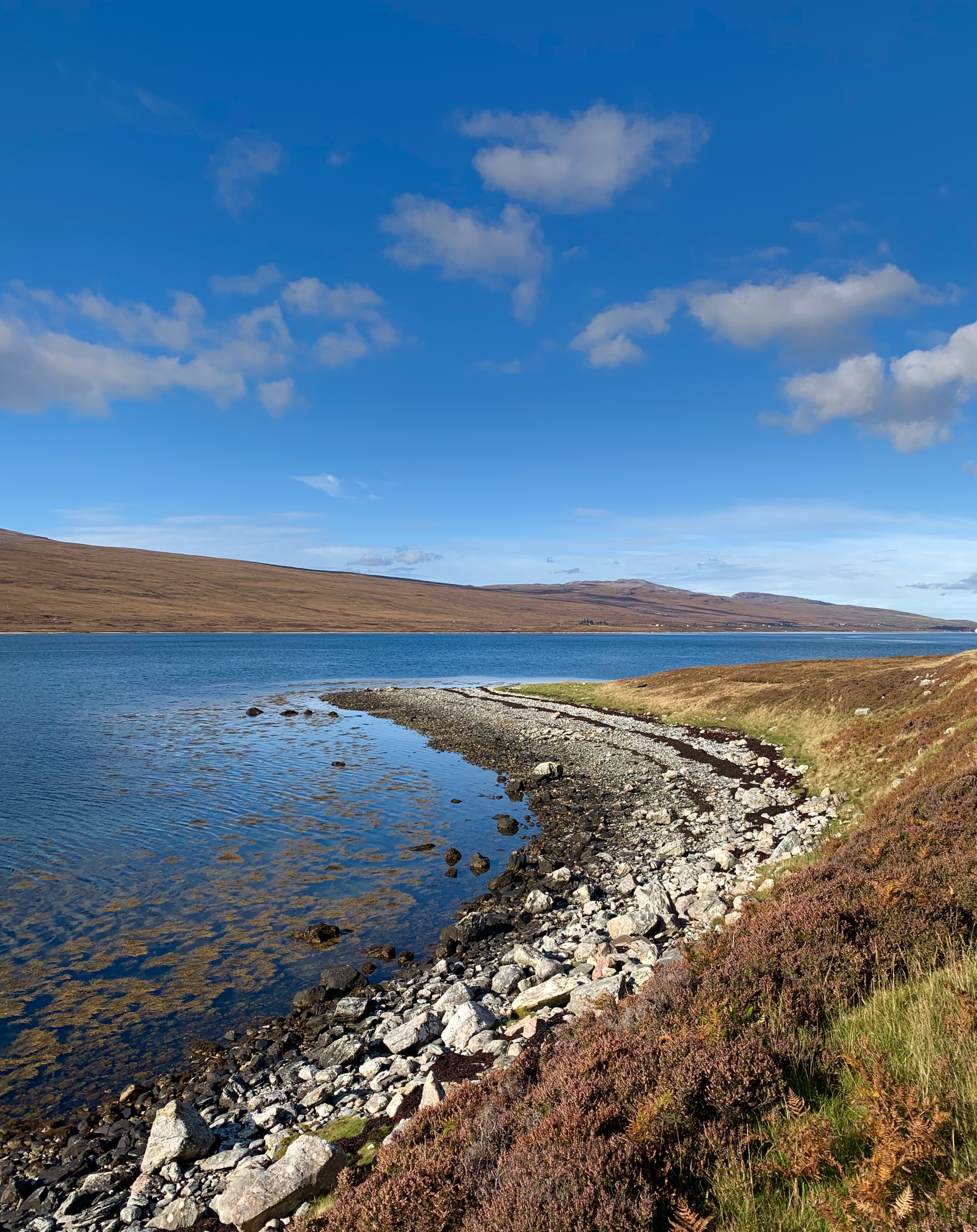
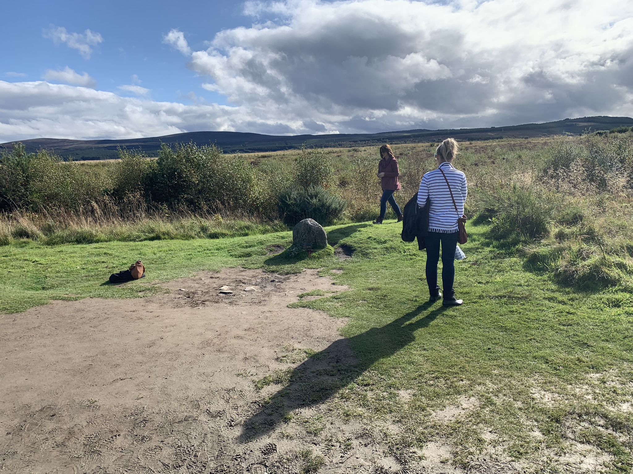
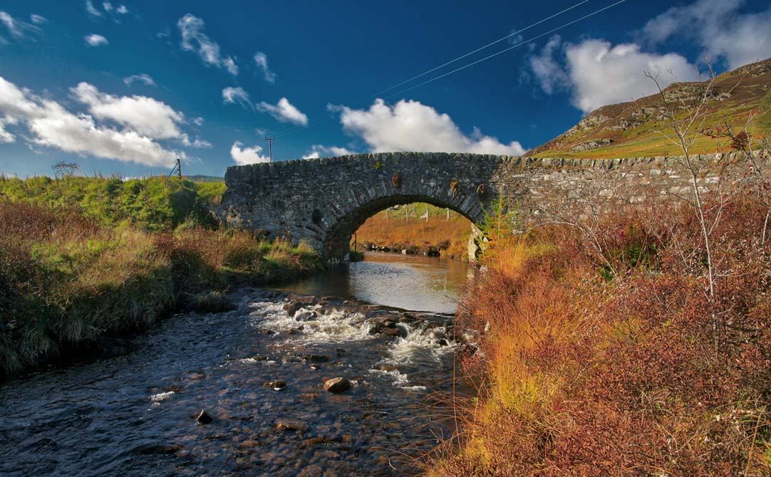
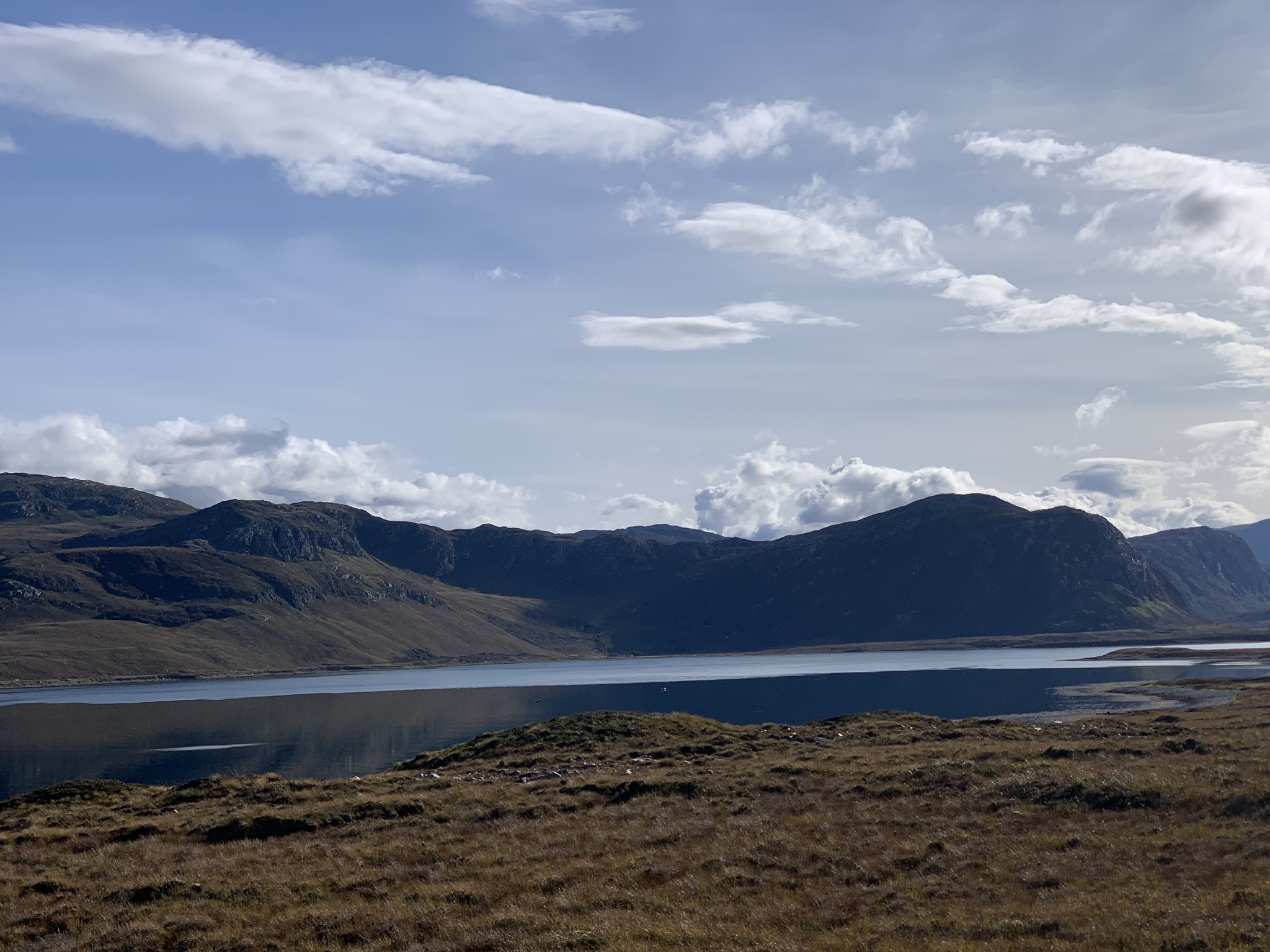 Above and below. Loch Eriboll, a sea loch just east of Durness, which on the map of Scotland is the chunk missing at the top. No ferries here to get you across the short neck on the coast, so its a 25 mile drive to get to the point opposite.
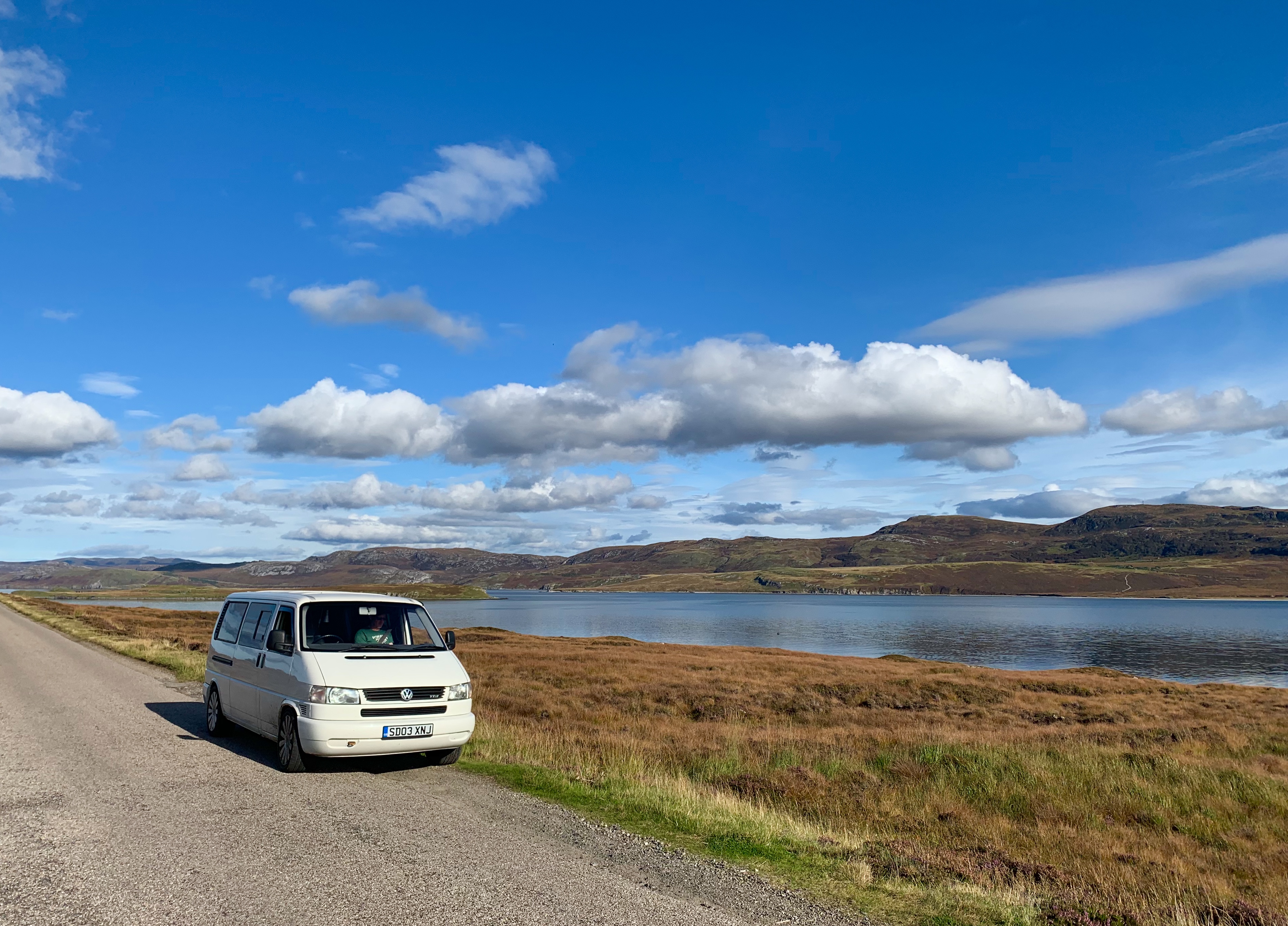
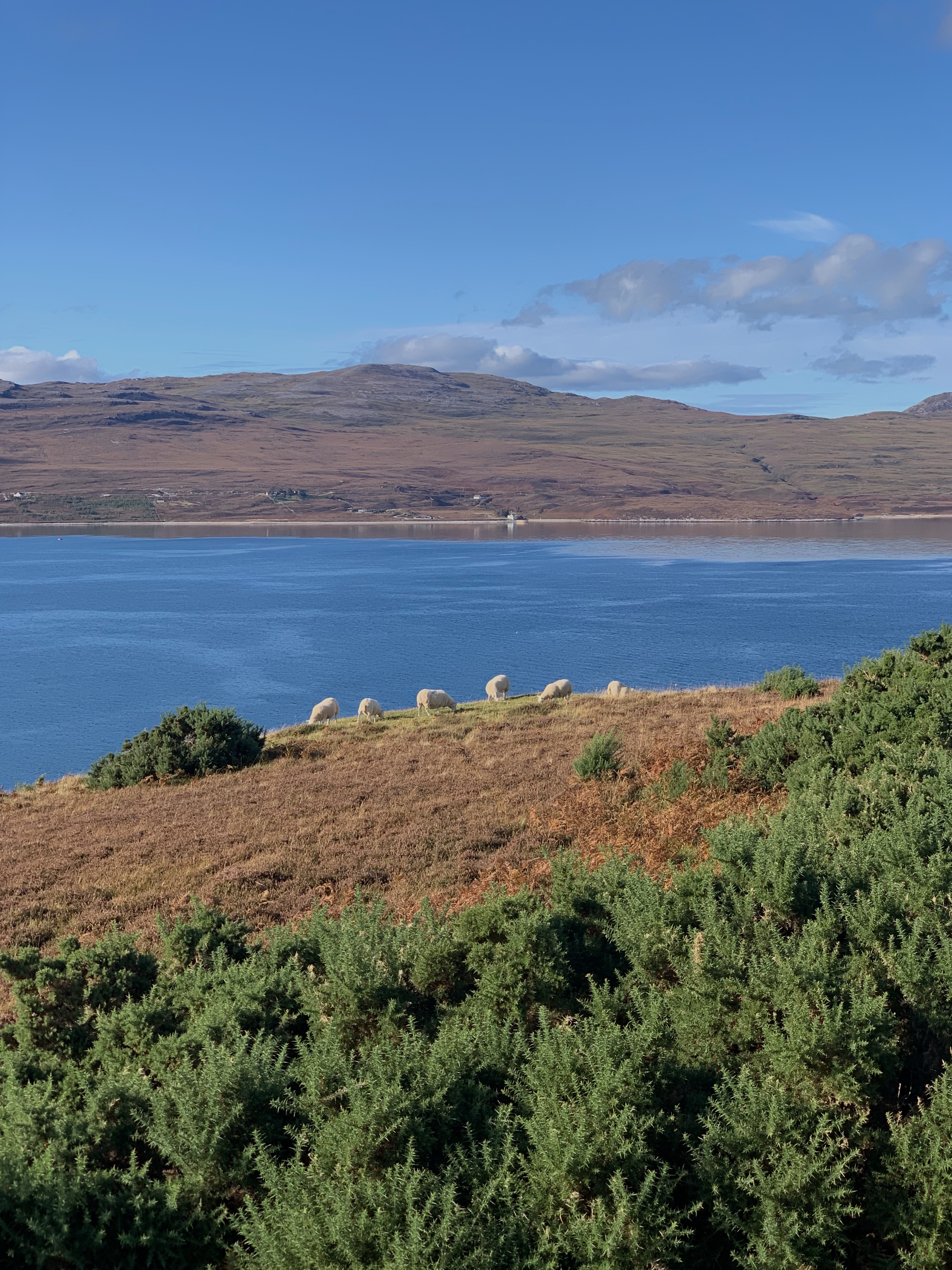 When ordering stuff on the internet, you are aware that your delivery/courier costs are generally postcode sensitive. Living in Southern UK, little heed is paid to this option. Living at the wrong end of Eriboll, in the house above the sheep for instance, you’d always be subject to a ‘Premium Charge’ because of the remoteness.
 Below: Ben Hope looking distant thru’ the phone camera lens. In fact Ben H is a very ‘baggable’ Munro, and the most Northerly in the collection. This photo was taken from the nearest [proper] road – so that alone is testimony to the hikers and climbers that have to find their way across the wasteland before thinking of climbing the 3000ft peak.
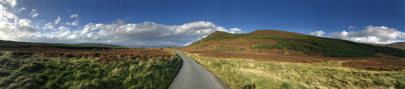
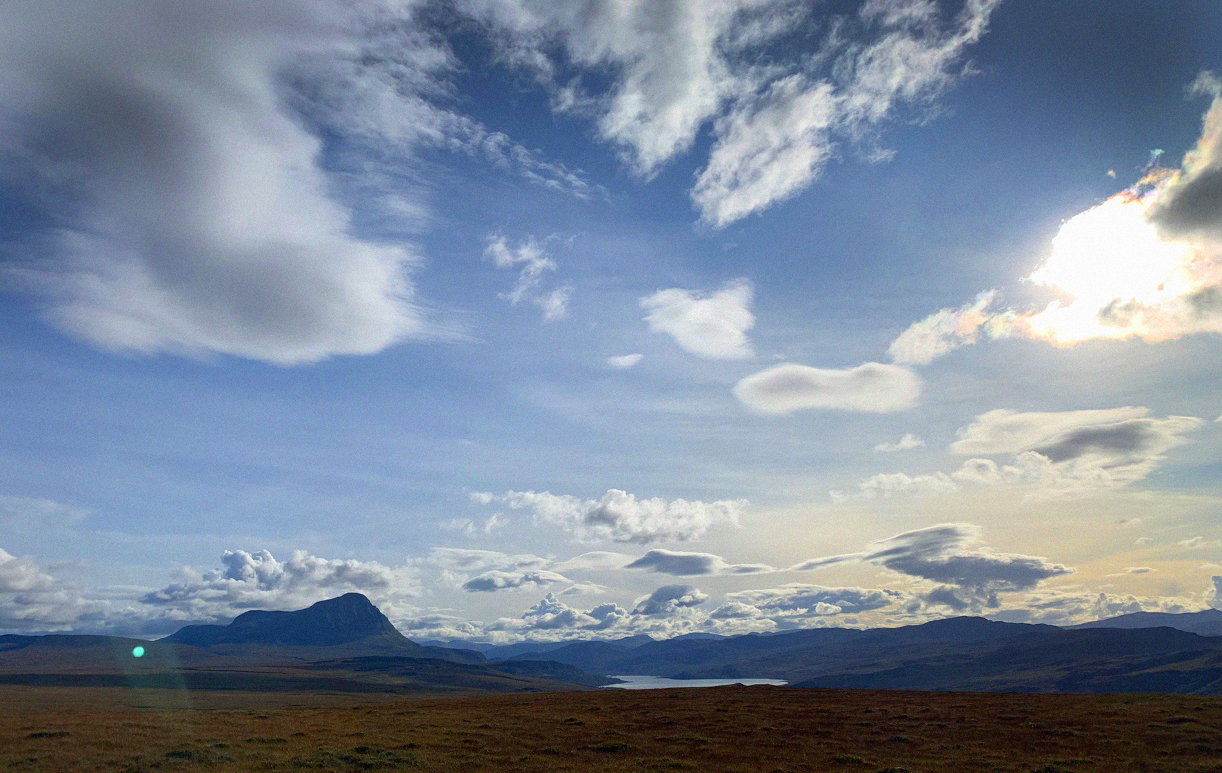 The mountain sits in the middle of ‘Flow Country’ – a vast area of peat and sphagnum bog that stretches miles south of this point. Reliable ‘Nature Scotland’ information boards describe the whole area as being one of the most significant of its type in Europe.
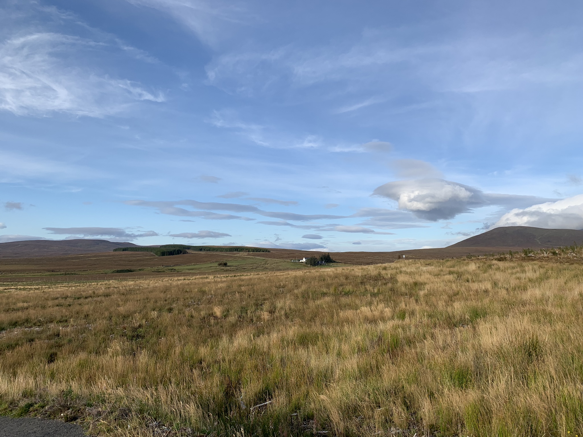 ‘Flow Country’ seen from the minor A road a tad south of the UK’s coldest recorded place, Altnaharra. The Crask Inn [just visible], is the only place for miles and miles, and offers ‘Hearty Scots Fayre’ to the passer-by and Americans who stay long enough to shoot a stag or two.
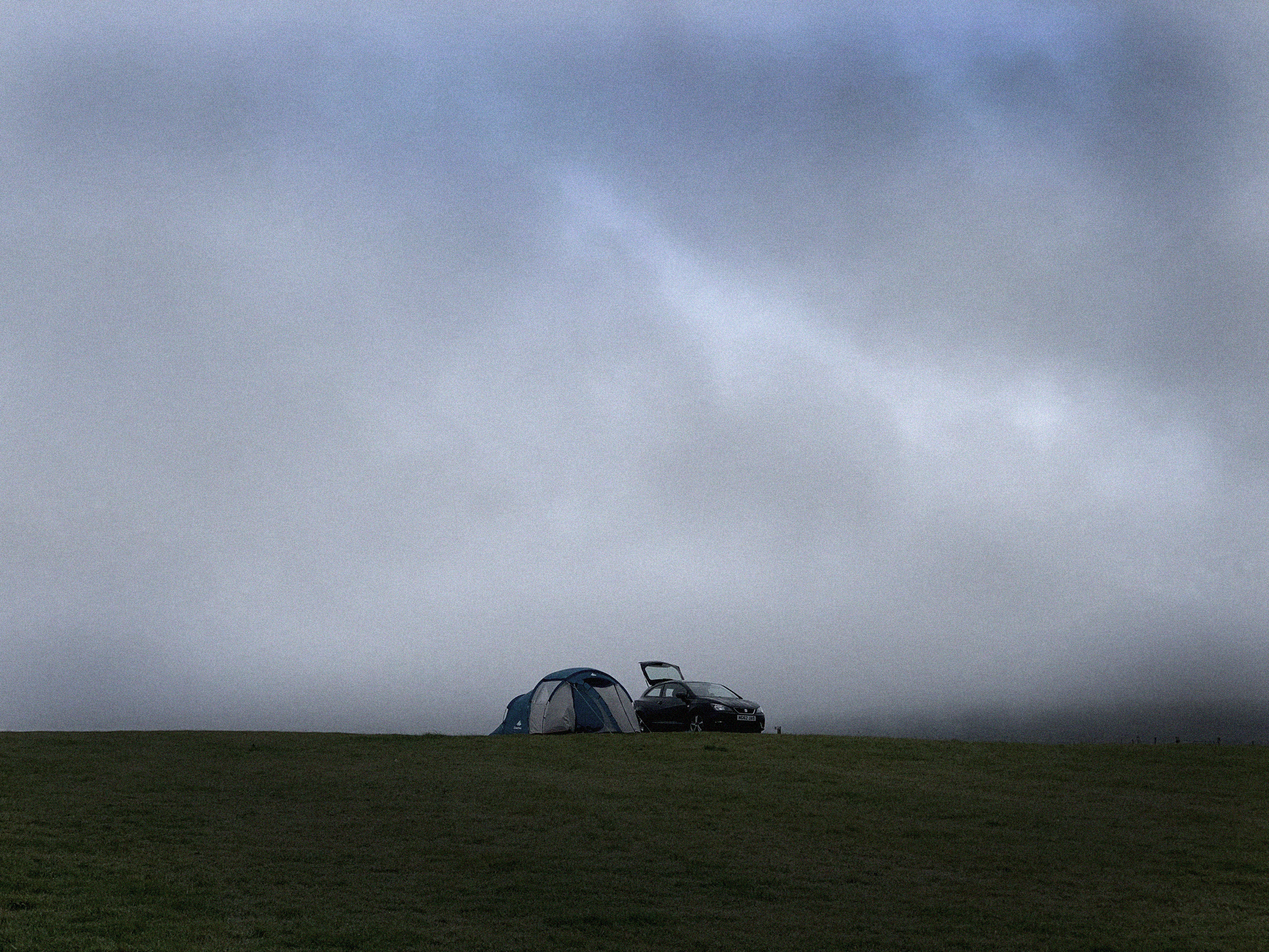
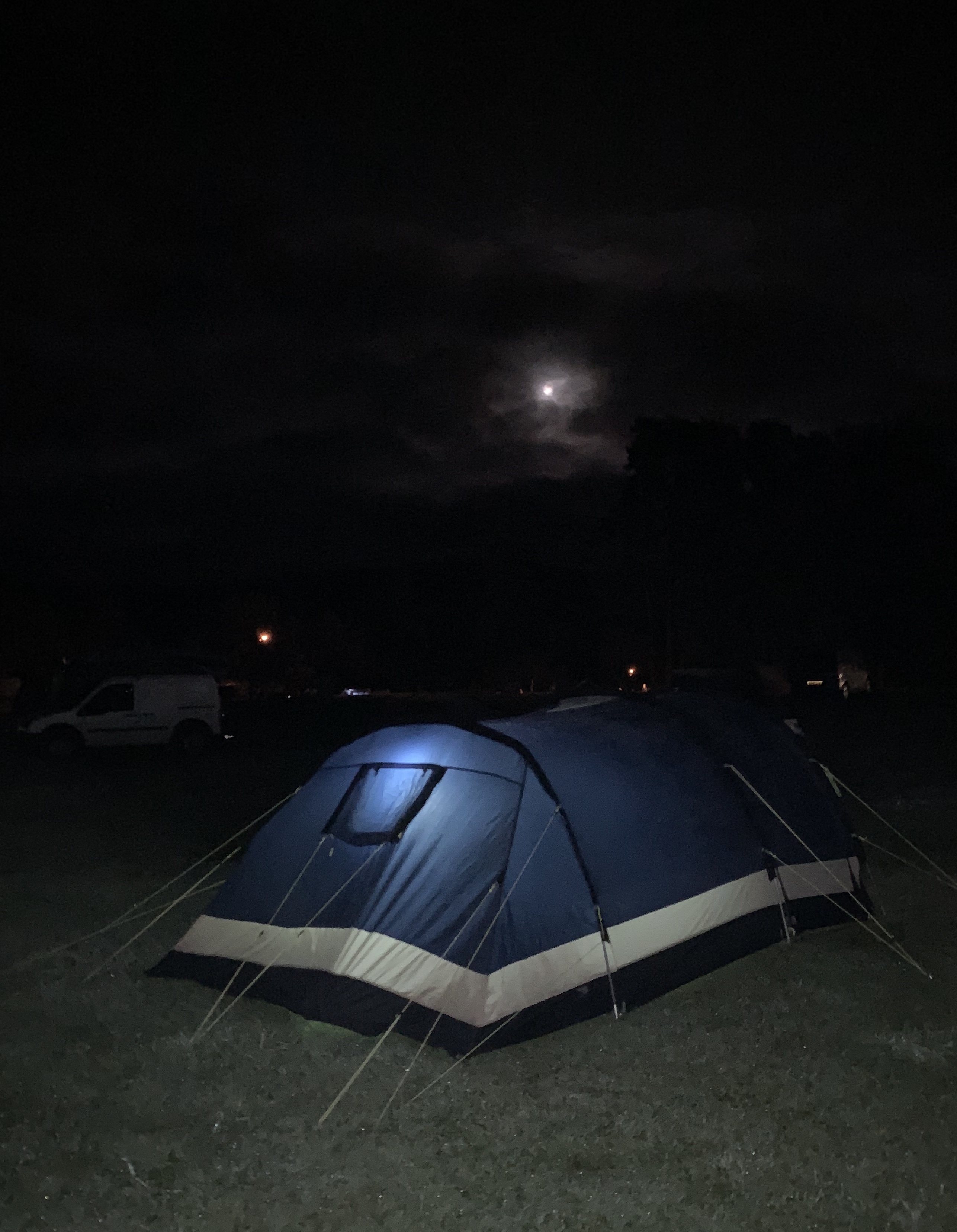
Below: ‘Not so clever now, eh, Terry?’ Camping the morning after a cloudless day. Another reminder why I bought a campervan.
It’s almost as though God looked out on us the previous day and questioned why we were having such fun. Result: SWP, Scottish Weather Punishment, and despite the old adage ”there’s no such thing as bad weather; just the wrong clothing…” camping in foul conditions isn’t made better by GORE-TEX.
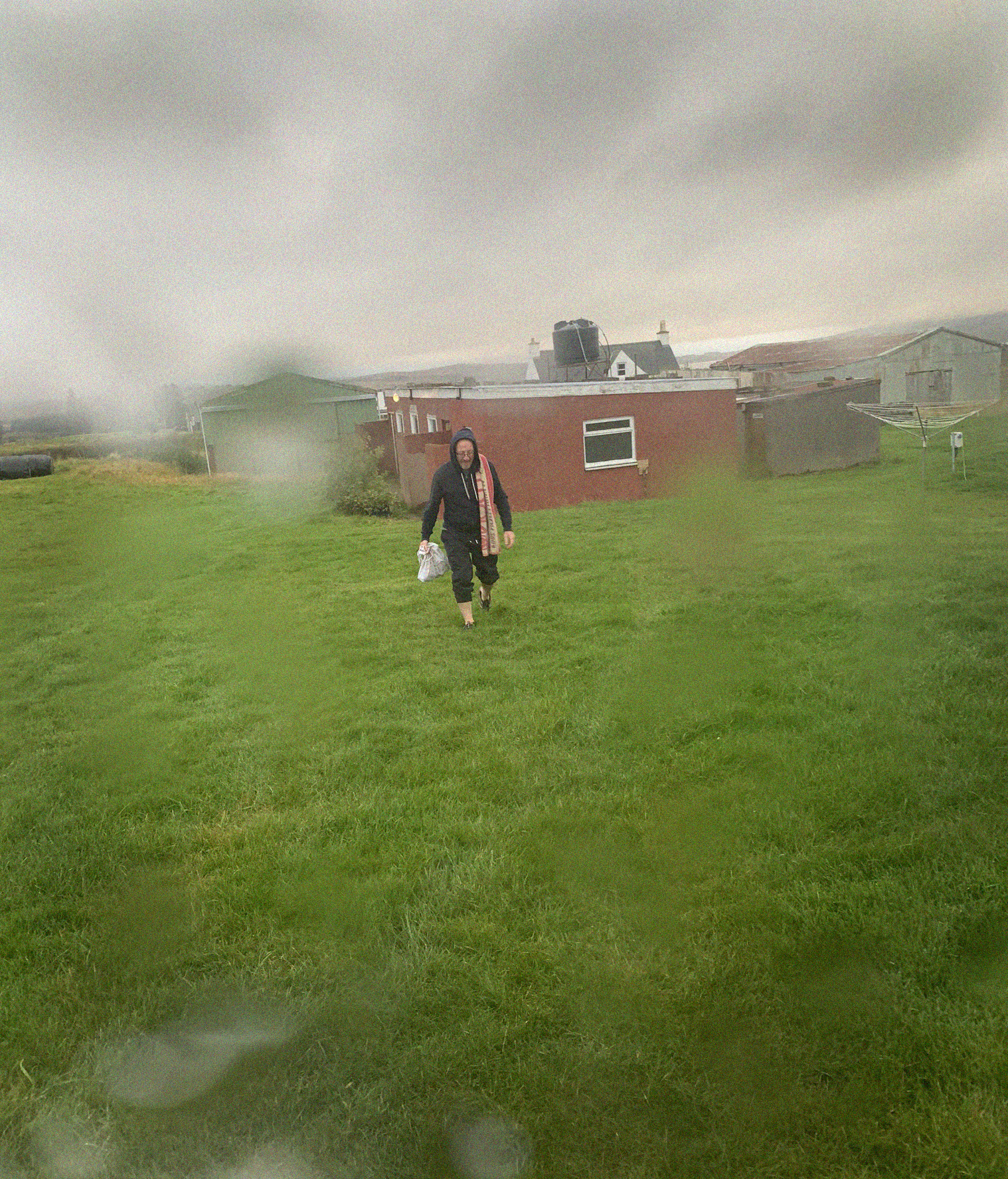
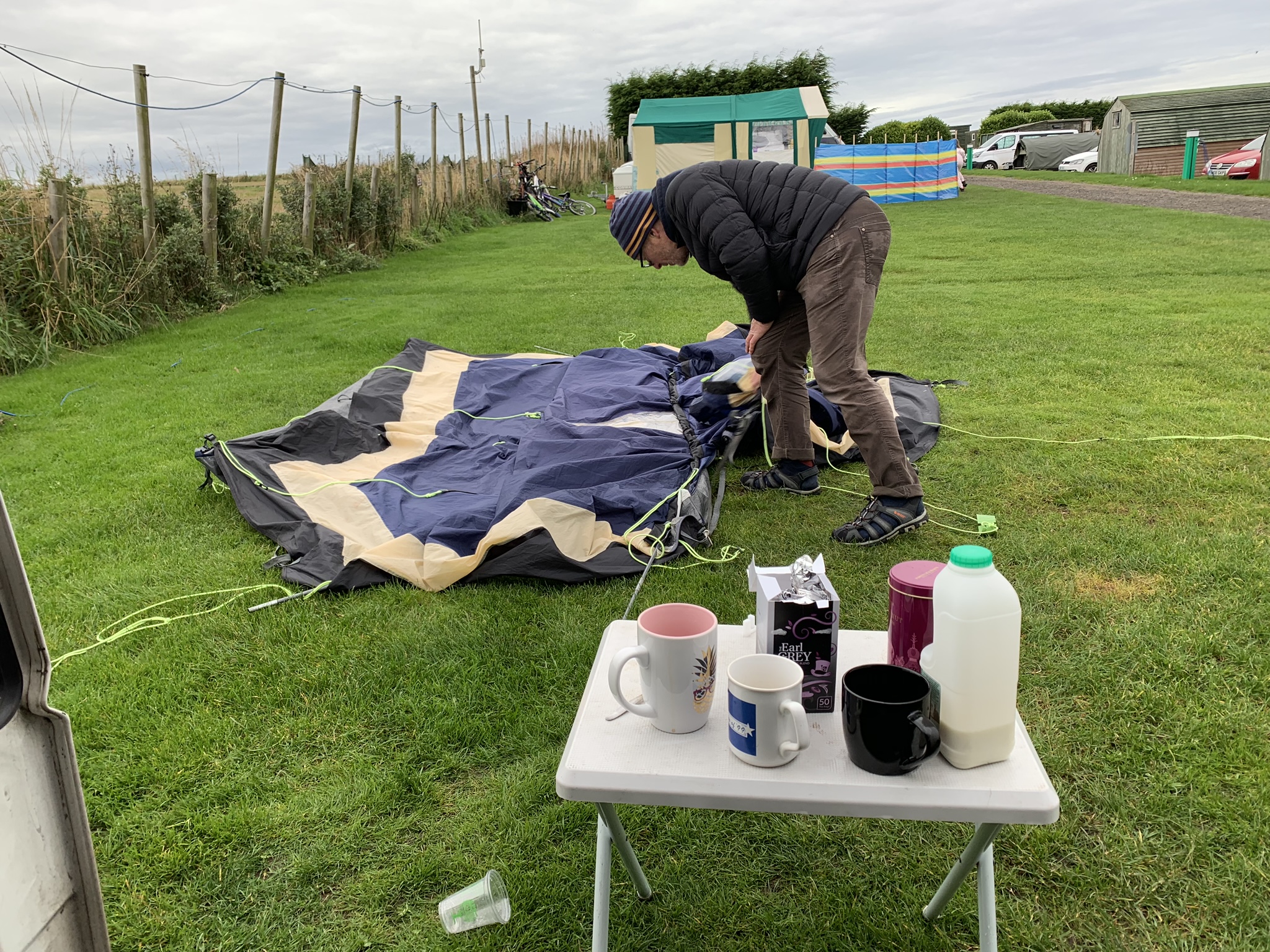
 Above: A fellow camper on a ‘One-nighter’ with his new girlfriend. I don’t think it went well.

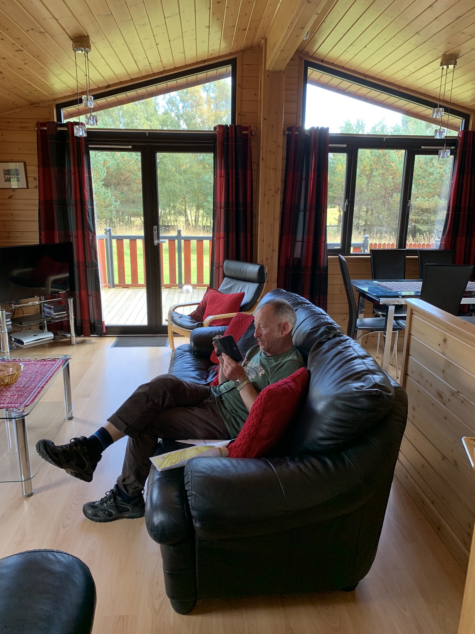
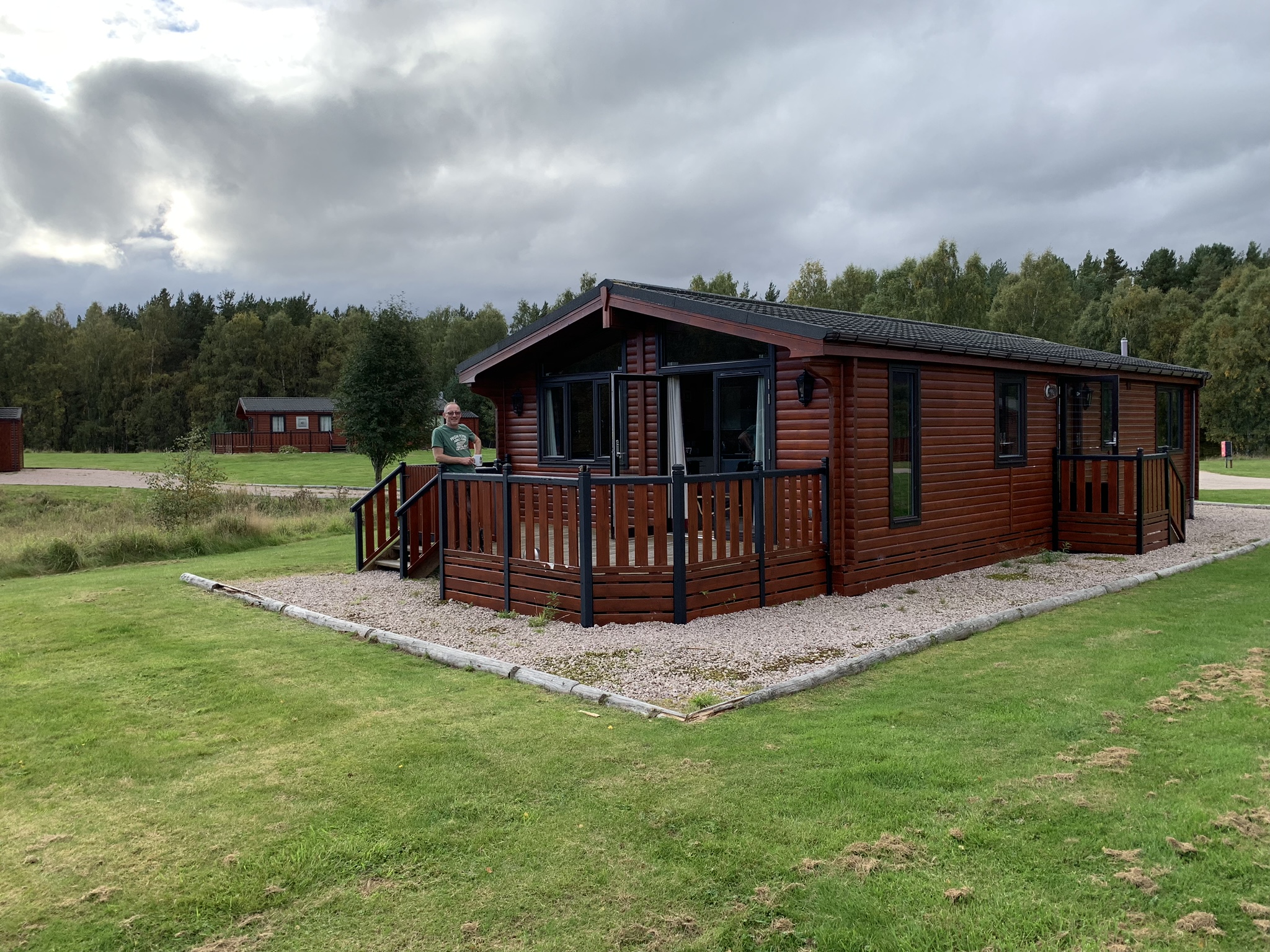
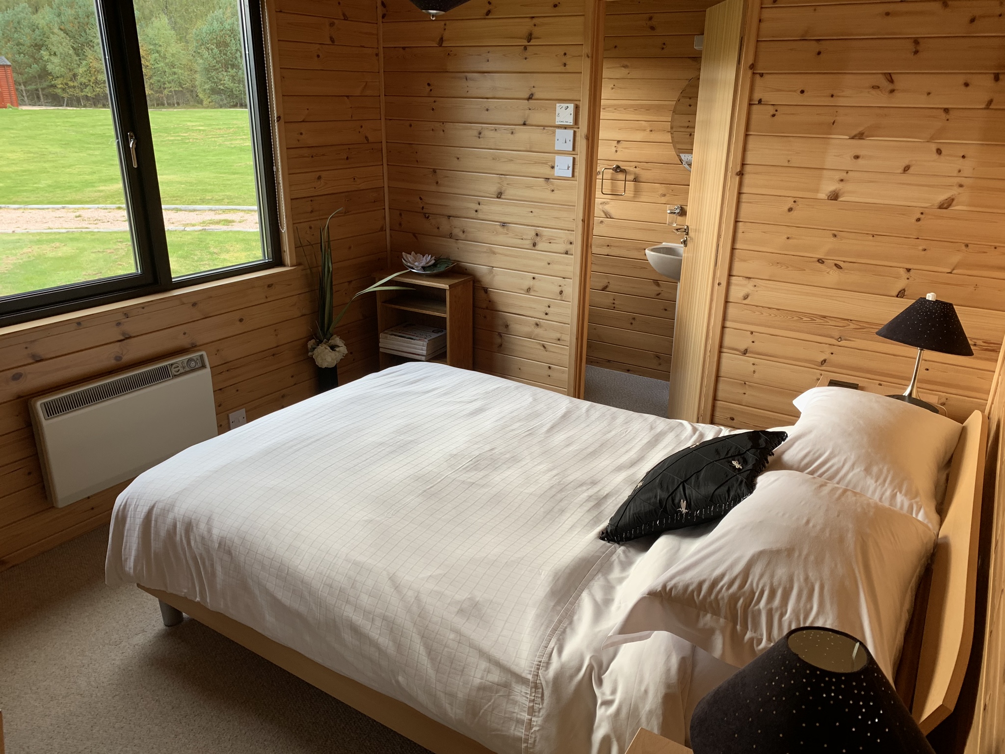
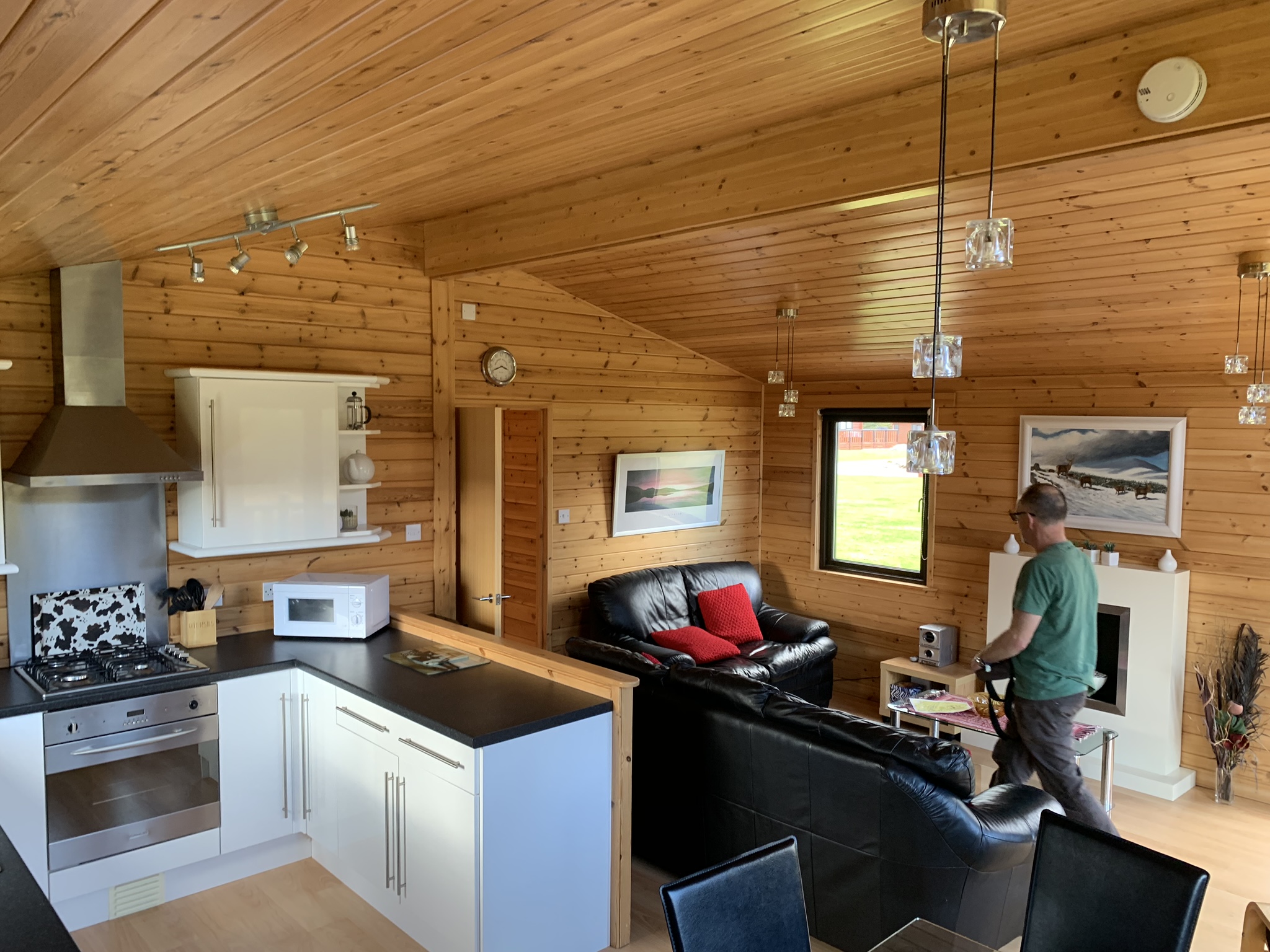
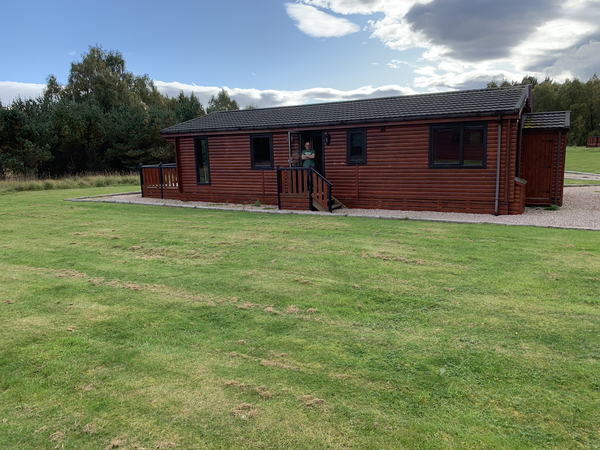
Above: Things you do/need/crave after a night in the open. A massive heated cabin was agreed upon after our southbound trip through Lairg, Bonar Bridge and Inverness.
Thank God for the Dalraddy Caravan Park. It may have been a stupid name but who cares when you’ve got C4 News, EastEnders and MOTD.
A brief History Lesson follows:
En-route we visited Culloden Moor outside Inverness. As if to round off our ongoing in-car journey discussions, the Visitor Centre and Museum provided a comprehensive answer to much. Much about the history of Scotland from Bannockburn to the dreams and failures of the Stuarts. Skirmishes, Routs, Whisky smuggling, Clan Battles, Parliament’s forces, Clearances, Train disasters, Submarine pens – The Highland Games.
The Battle of Culloden was the final chapter in Bonnie Prince Charlie’s* 1745 charge that shook the Southern Establishment to the core. In July 1745 the Bonnie Prince sailed from France, finally making landfall on the remote Hebridean island of Eriskay. From here he made his way to the mainland gathering support as he went.
[*Name at birth: Charles Edward Louis John Casimir Sylvester Severino Maria Stuart. On a football jersey just B. Stuart would do].
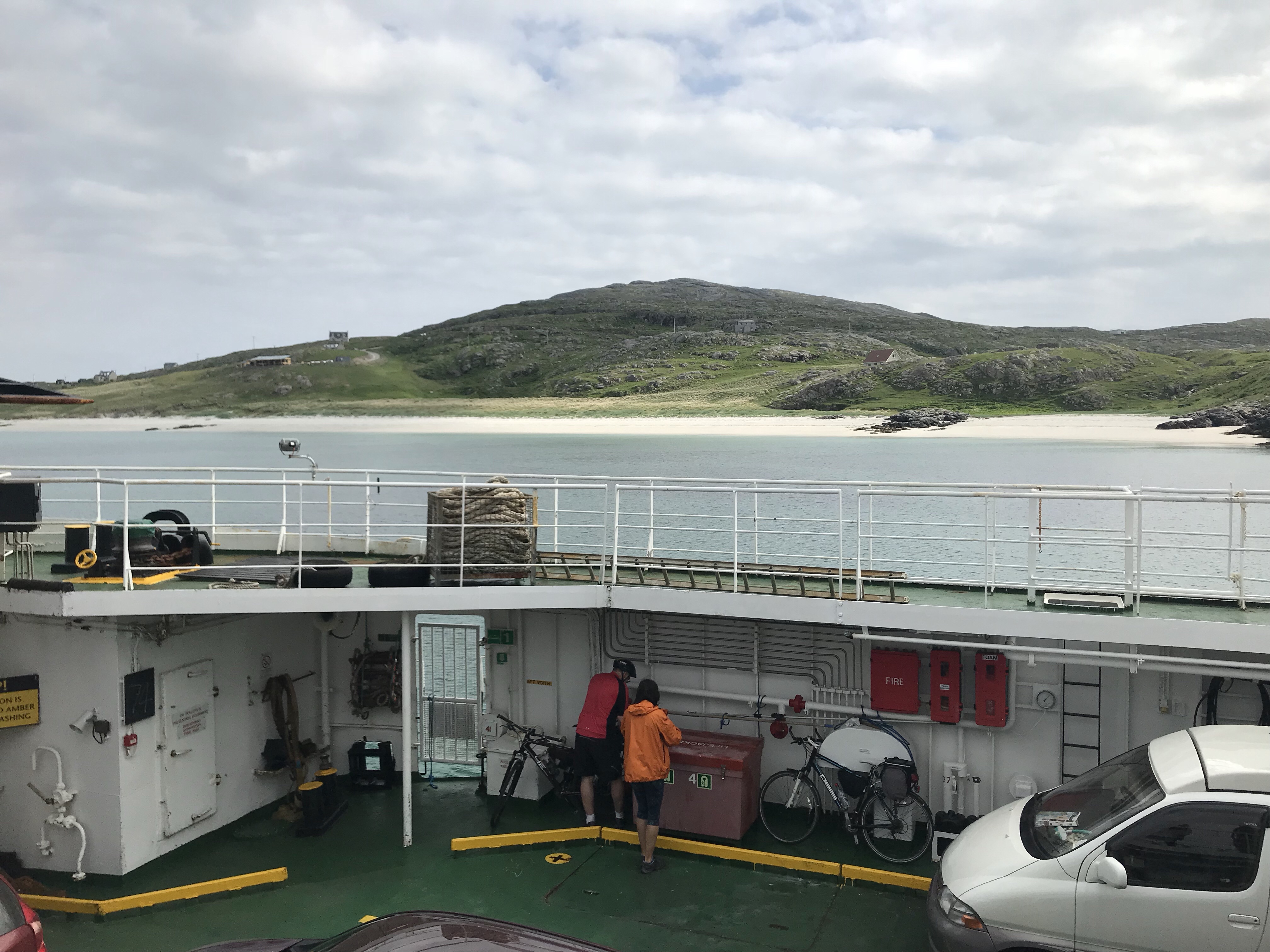
Below: A picture I took on Eriskay in 2018. Beyond the ferry railings is ‘Prince’s Strand’. The beach that BPC first walked on at the start of the Uprising.
Charles rapidly made his way across land and sea to Glenfinnan where he famously raised his father’s Standard in August 1745. Today visitors to Glenfinnan can see the monument that marks the call to arms for the Clans. However many sightseers probably prioritise seeing the Jacobite Rail Route and of course the film location for Harry Potter’s Hogwarts Express rather than taking a trip down Scotland’s ‘memory lane’.
Having rallied support along the way – taking Edinburgh bloodlessly and winning against the English force at Prestonpans, Charles marched South taking Carlisle. Once in England, the 6000 Highlanders got as far as Derby – with little between them and the walls of the City of London, when they were advised to turn back. King George II needed to respond.
Whatever the reasons for the retreat and amassing of his force in Inverness, Charles was faced with the red-faced English determined to finish the treasonous business with no quarter being asked or given.
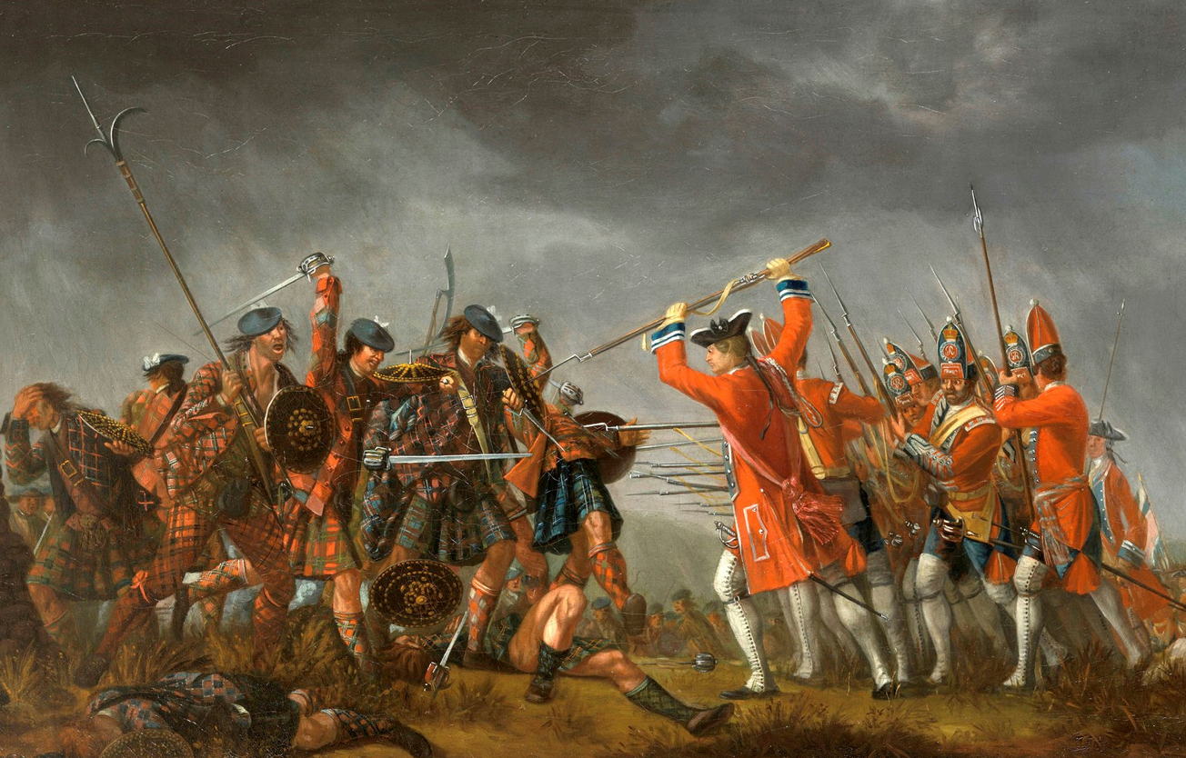 At the field on Culloden Moor, in April 1746, the English Redcoats defeated the makeshift Highland Army, and slaughtered their enemy in the bloody encounter. Survivors of the rout were pursued relentlessly into the Highlands with sympathisers and innocents being put to the sword in the ensuing hue and cry. The Prince escaped with the aid of one Flora Macdonald; and so the legend was born.

Below: Feshie Valley near our Dalraddy refuge.
So it was also our retreat. South to the Highlands. The Grampians as they are called. Safely in Invernesshire, The Caledonian region, or Rothiemercus. You get a bit fed up with the need for everywhere having to be defined by Regional, Local, Historic, Landowner and Community names. On Ordnance Survey maps it’s more straightforward, but to the gathering locales – which all want to cash in on the free-flow of tourism; it becomes a mish-mash of motifs, mini-maps, logos and defiant colour schemes.
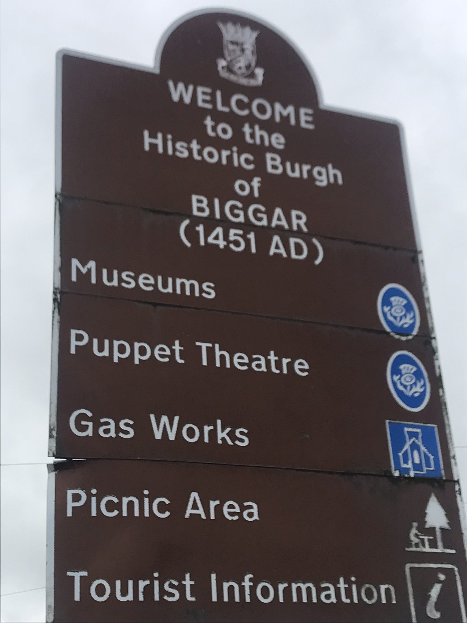
Above: Hardly the Grampians, but nonetheless a ‘Brown Sign’ inviting you to visit things of interest in a place otherwise of no interest.
Below: A pocket of Caledonian Forest in Rothiemercus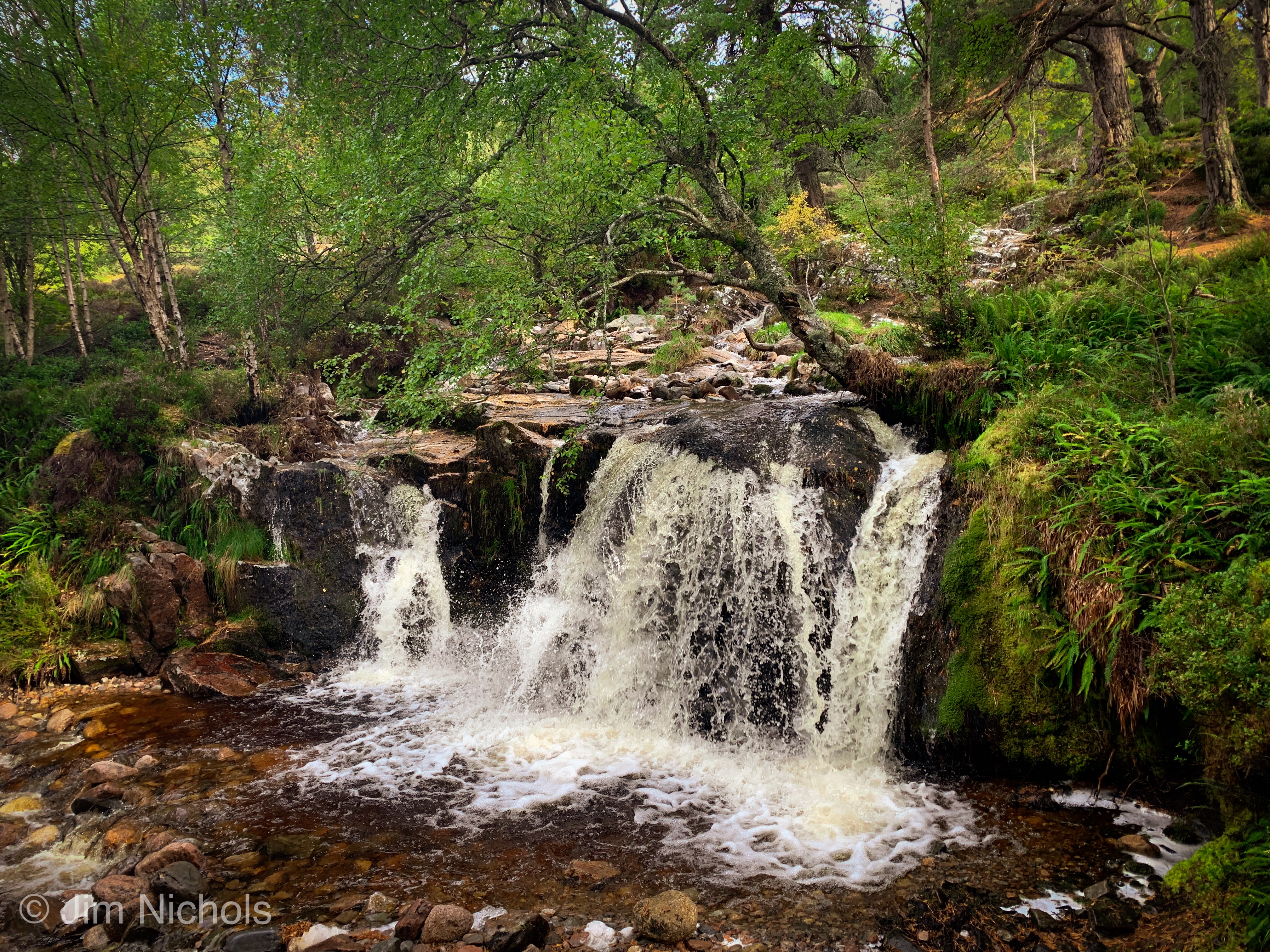
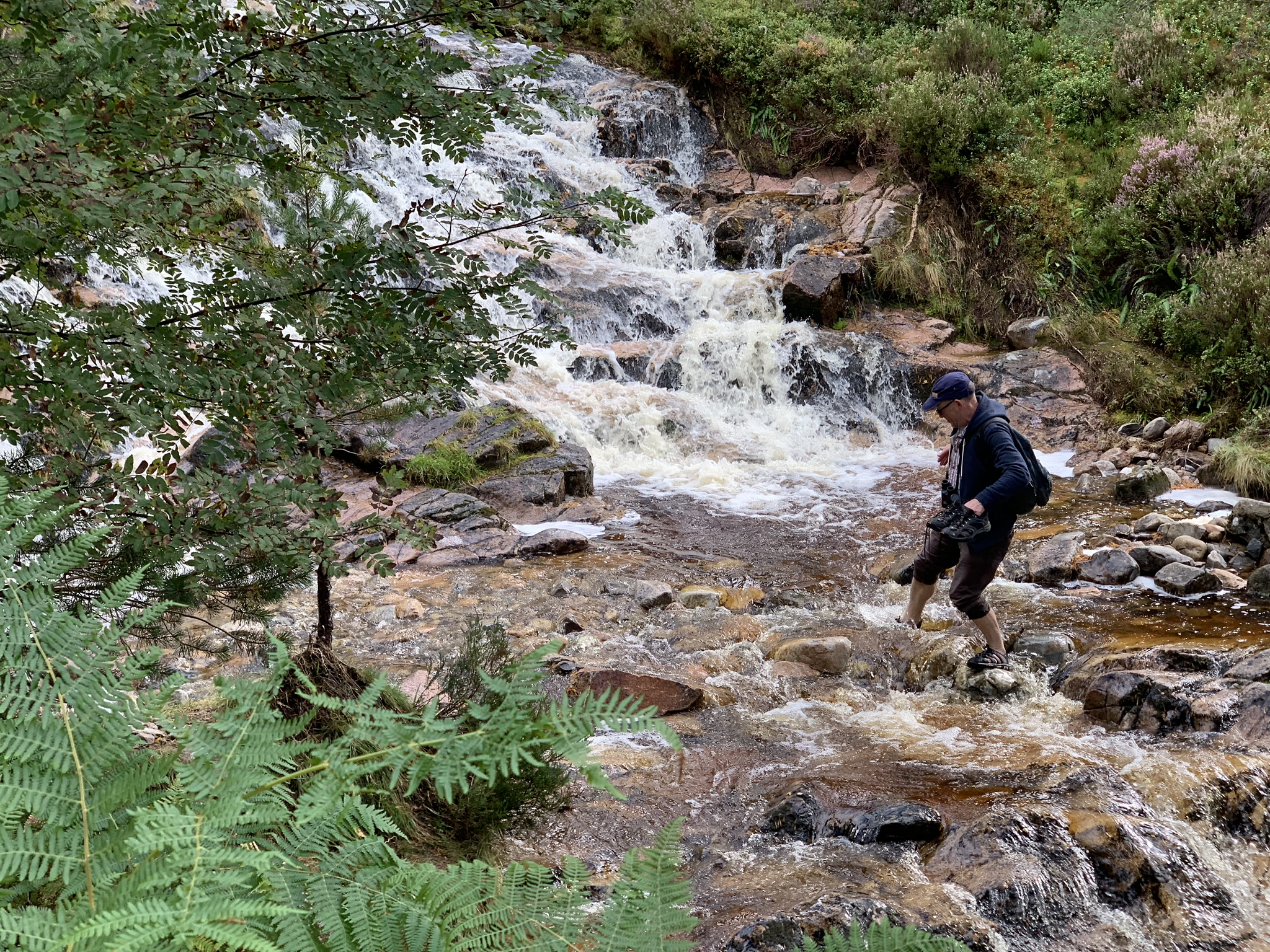
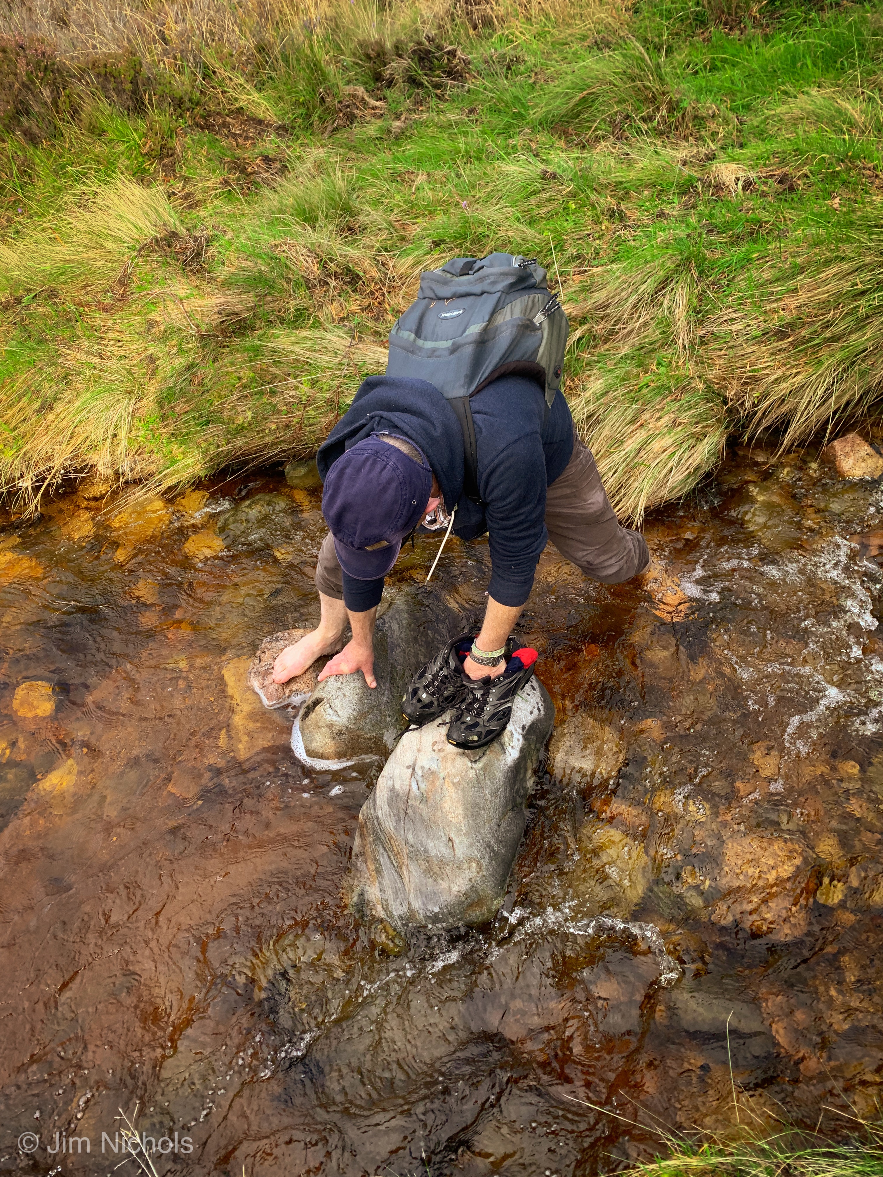 Terry had 2 pairs of shoes for the trek. Neither were used for this crossing – nor the one further below.

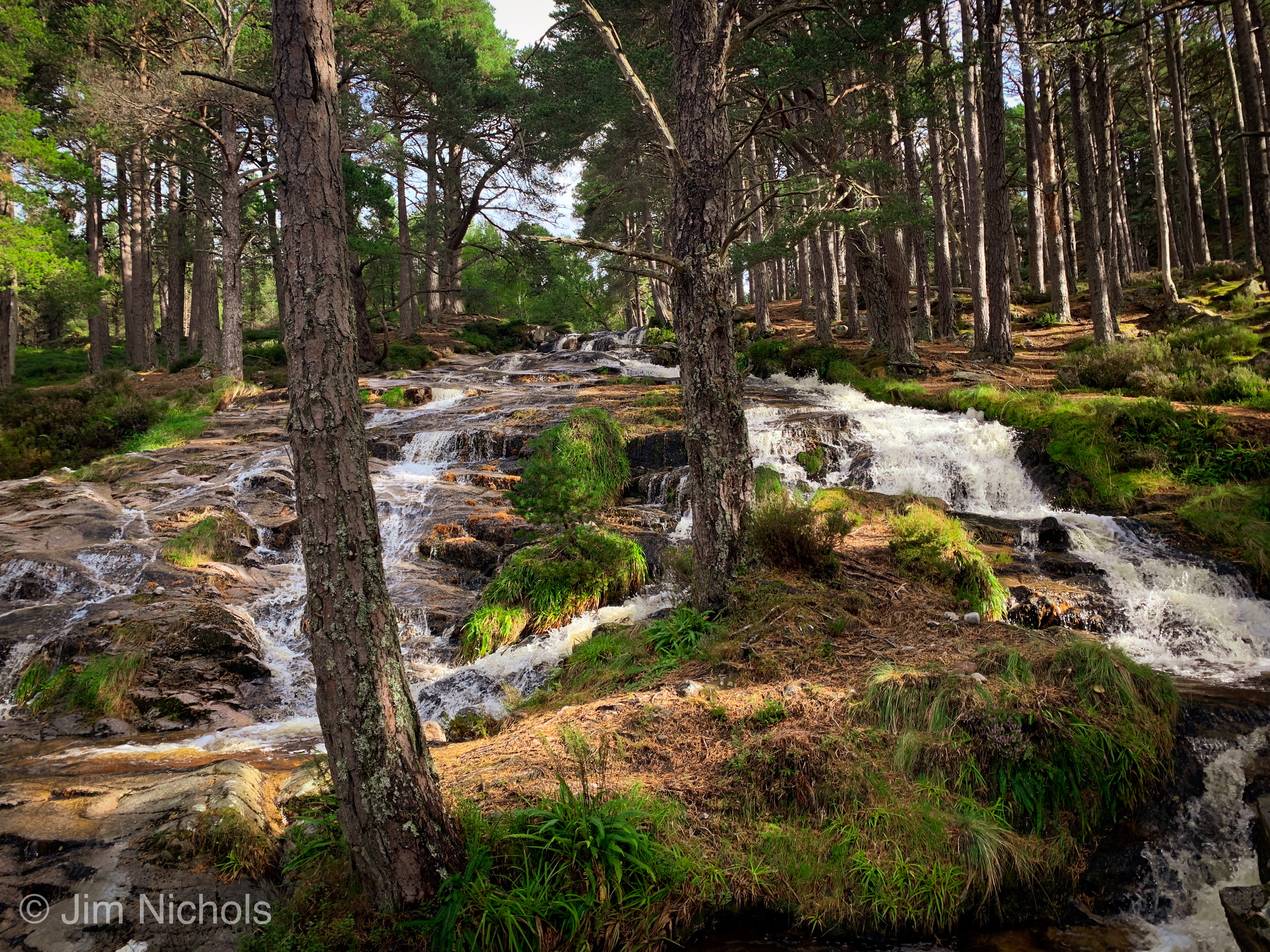
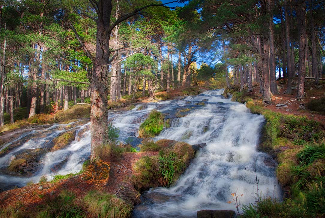

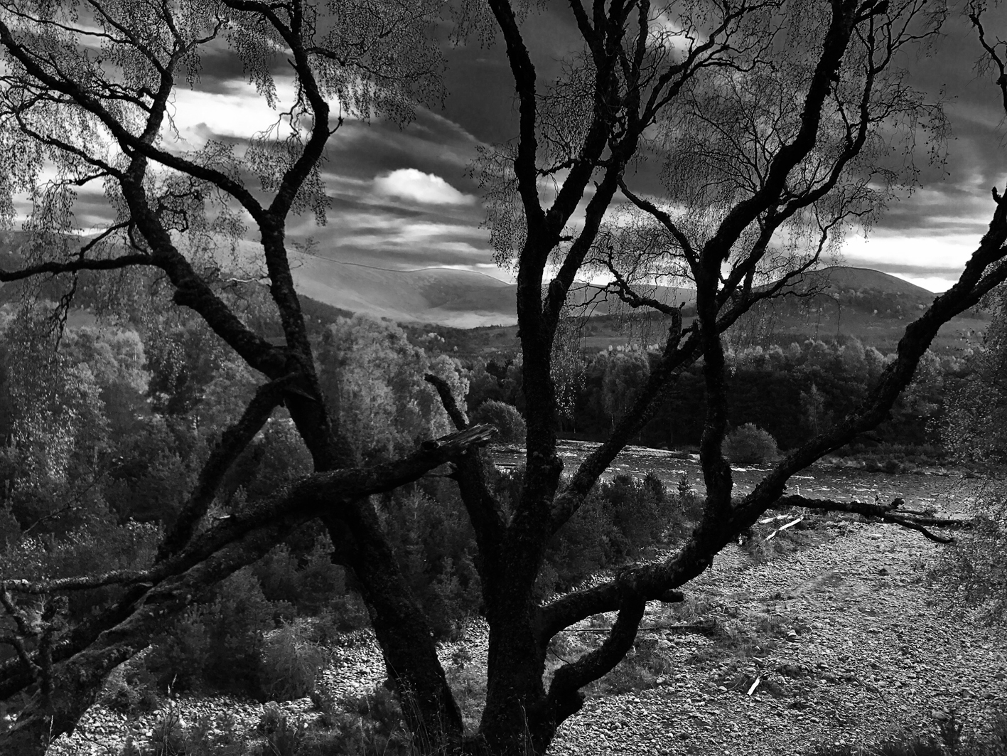
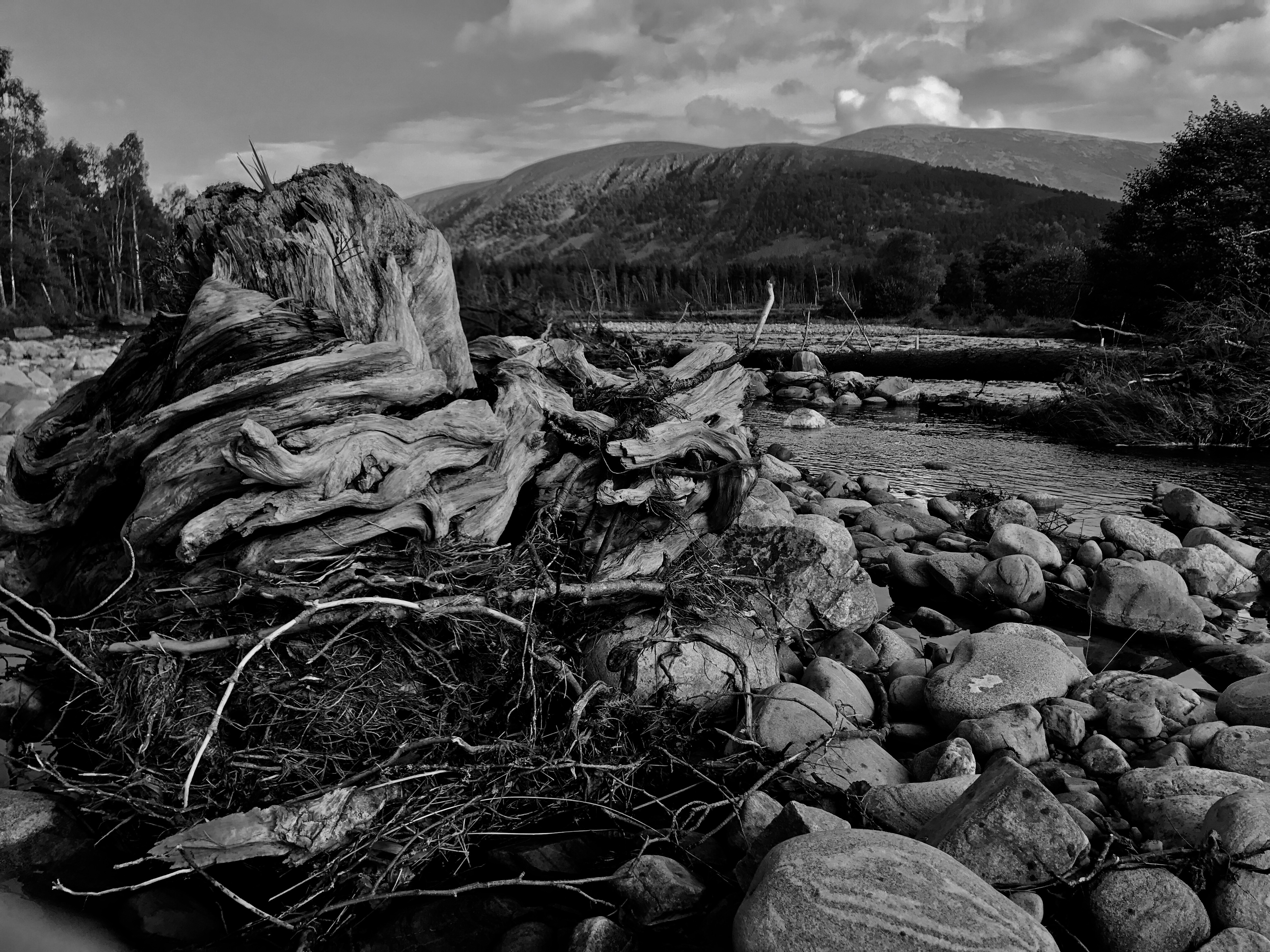
Below: Treated images of the river valley below the cascades above.
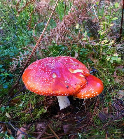
Above: Fly Agaric – poison in the hedgerows.
Below: Into Perthshire and the small town of Aberfeldy
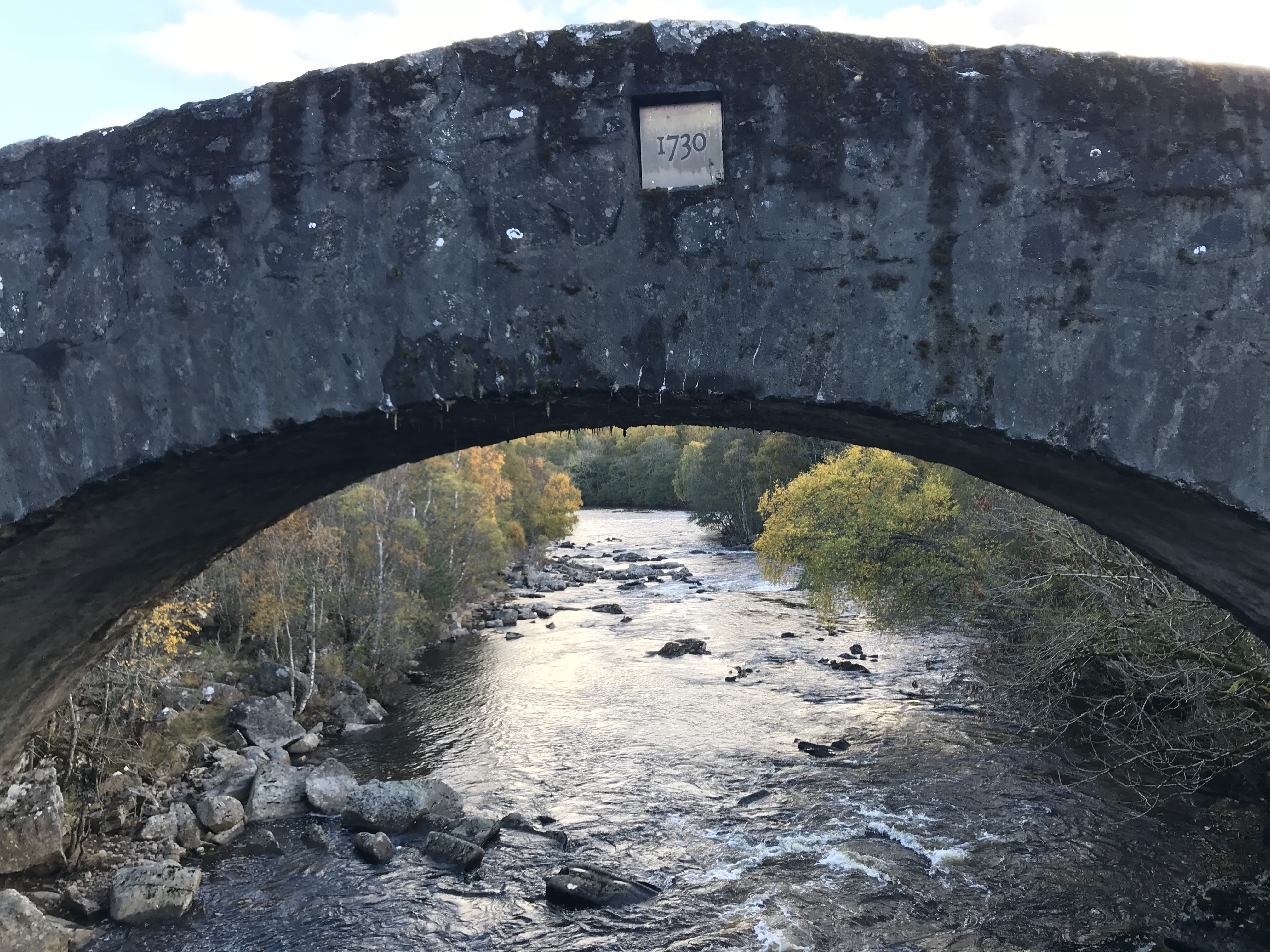 The story behind this bridge and the one below could count as a continuation of the history lesson that resulted from our Culloden visit. In the 1730s parts of Northern Scotland remained out of reach to the controlling English. Gatherings of Clansmen and personal militias were often quickly rallied in opposition to the Parliamentarian rule. One Field Marshal George Wade was tasked with improving military communications in this part of Scotland resulting in a network of military roads that fanned out over the country.
Below: The Tay crossing at Aberfeldy. An engineering masterpiece that has stood the test of time.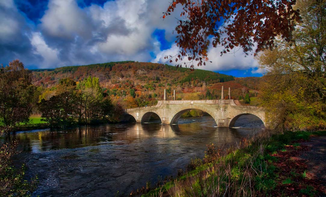
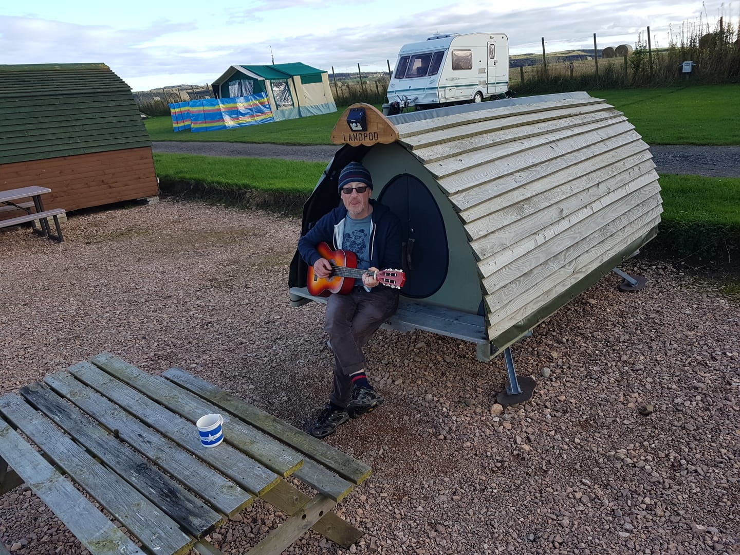 Things that could have been. Terry outside the world’s smallest pod? Hardly big enough for a mattress, no power and a hobbit-sized entrance, he would still have opted for a night in this [£40] rather than what he actually got [below].
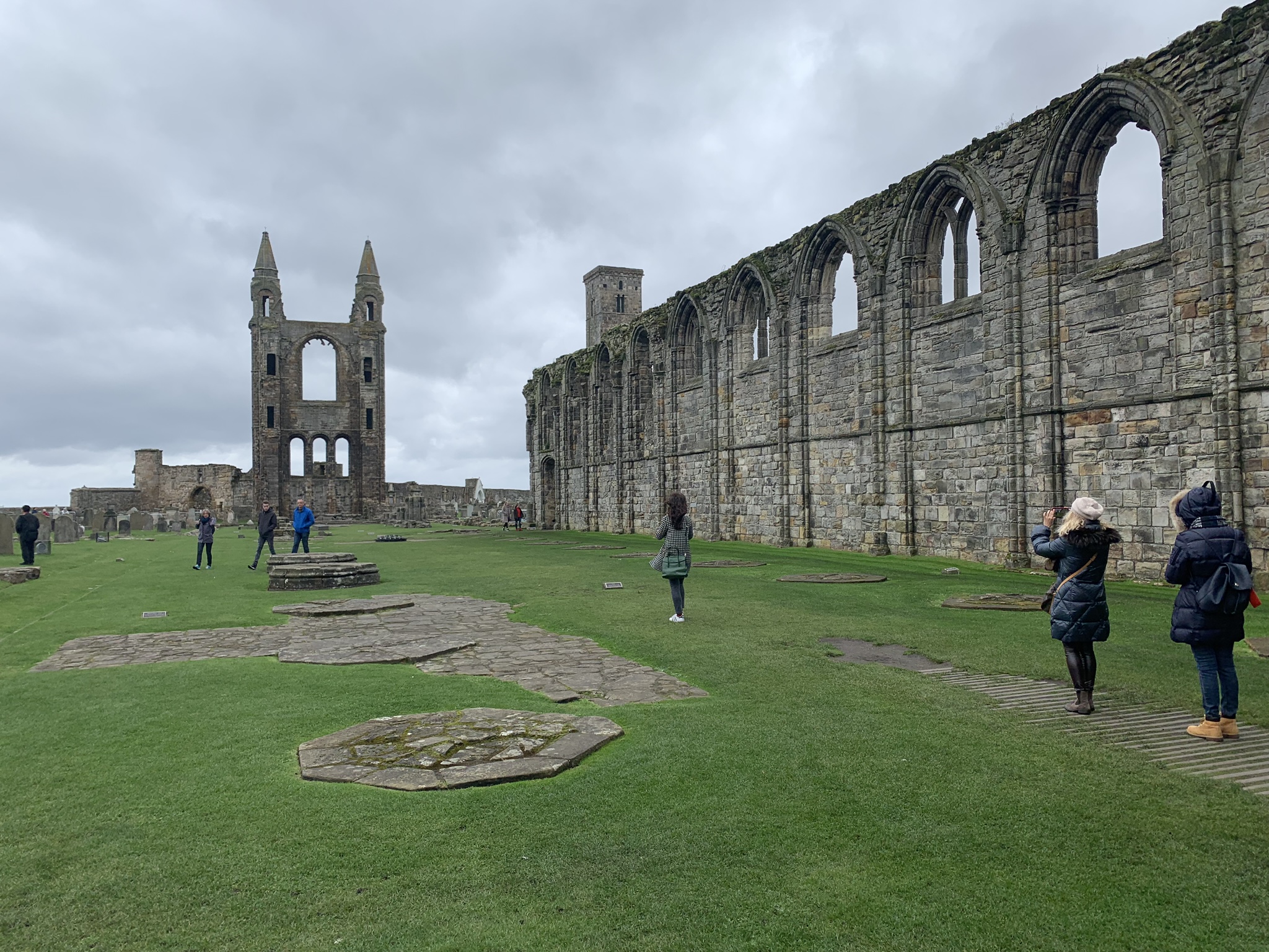
 A chill falls in St Andrews.
The last pitch and decisions whether to chuck the tent and go on Auto Trader looking for a campervan.
Below: St Andrews High Street and the ruins of the famous Cathedral that didn’t survive the Reformation
Last views of Fife and minutes away from the return Forth crossing.
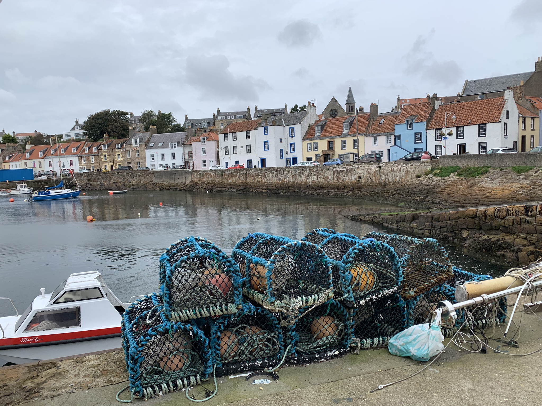
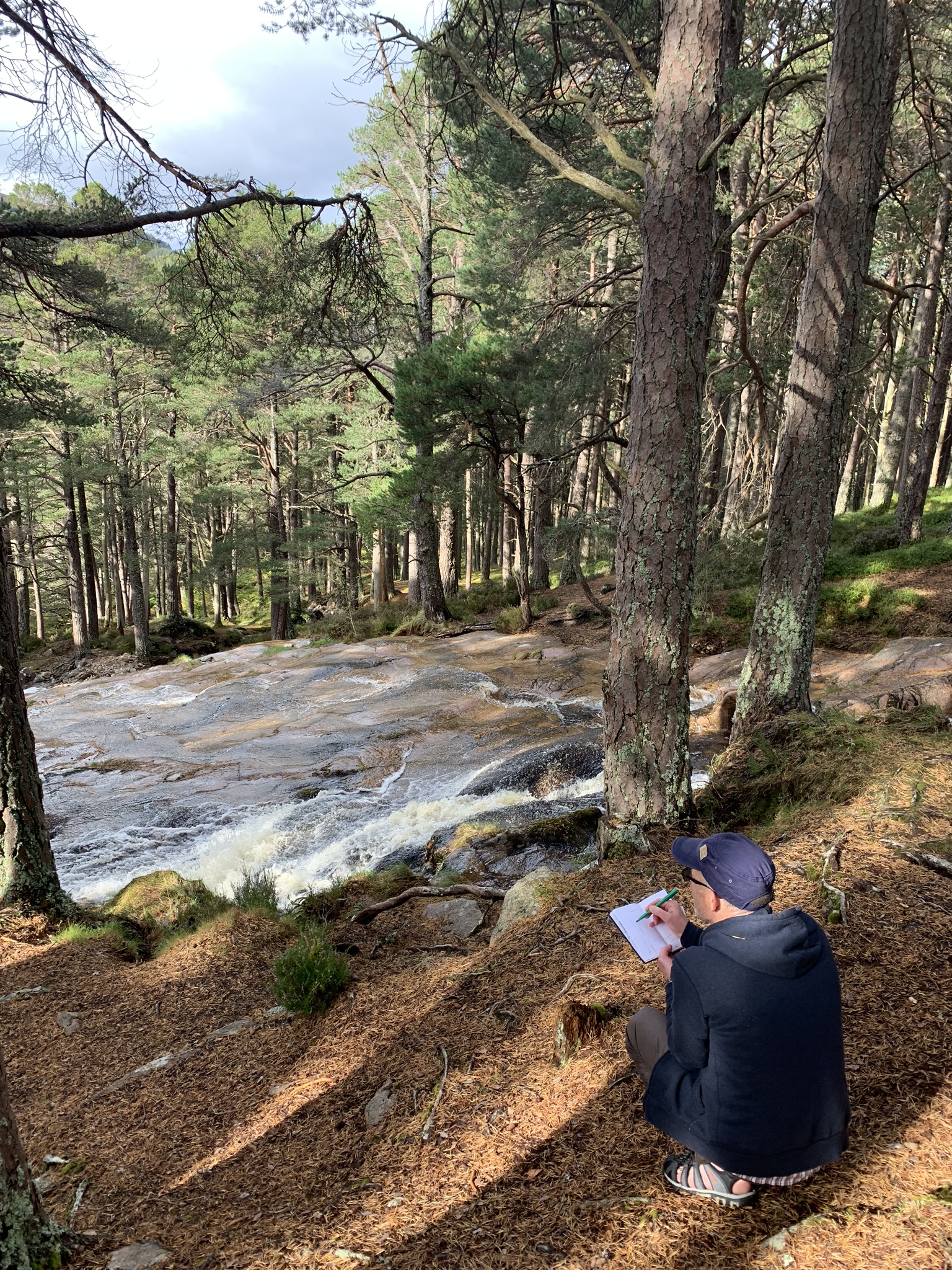
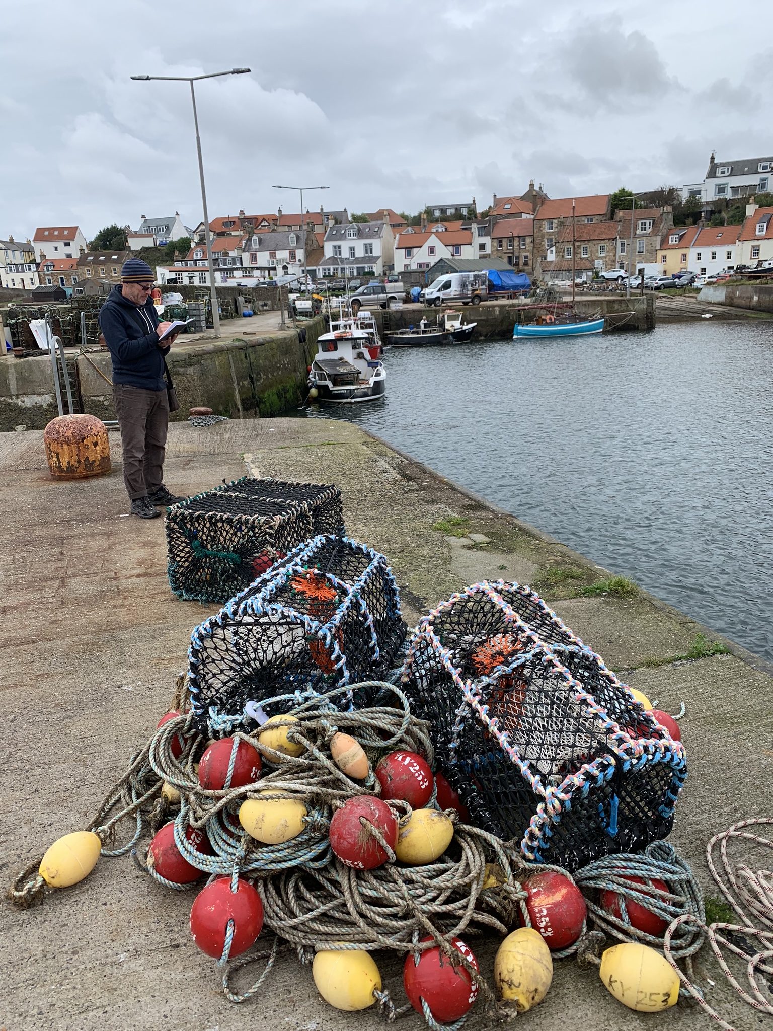
St Monan’s – a quick sketch and last chance to bag a float
So as promised, ‘The Great Meander’ made its way north and then back south. Multiple roads driven, Visitor centres passed and about 1500 miles on the clock.
‘Out’ at Gretna
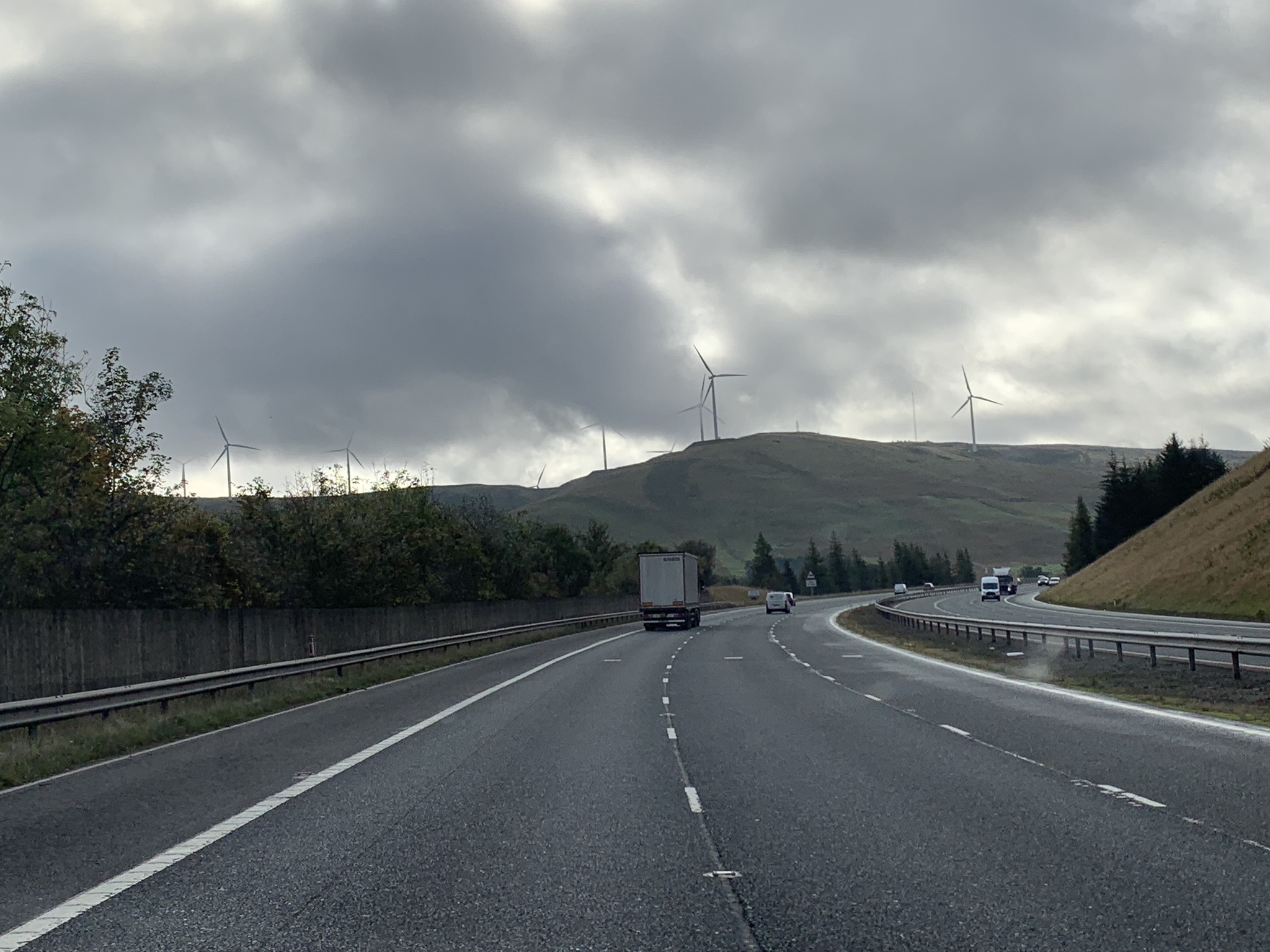 Wind farms just short of the Scotland border.
Journey’s End.
